geo.wikisort.org - Reservoir
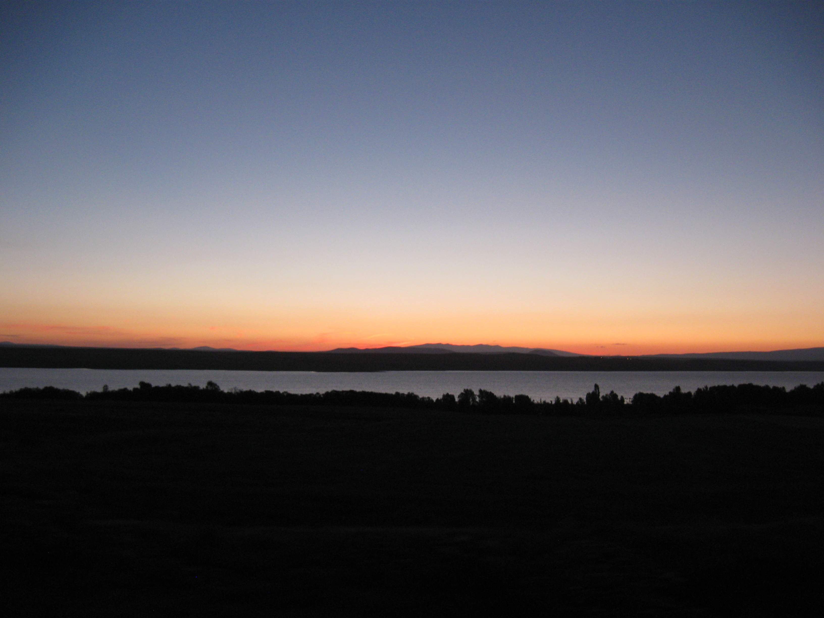
Akhurian Reservoir (Armenian: Ախուրյանի ջրամբար; Turkish: Arpaçay Baraj Gölü) is a reservoir on the Akhurian River between Armenia and Turkey.[2][3] The reservoir has a surface area of 54 km² and a volume of 525 million cubic meters.[2][3] It is one of the largest reservoirs in the Caucasus, smaller than the Mingachevir reservoir and the Shamkir reservoir in Azerbaijan.
| Akhurian Reservoir | |
|---|---|
| Arpaçay Reservoir | |
 | |
 Akhurian Reservoir  Akhurian Reservoir Akhurian Reservoir | |
| Location | Shirak Province-Kars Province |
| Coordinates | 40°33′47.67″N 43°39′16.26″E |
| Primary inflows | Akhuryan |
| Primary outflows | Akhuryan |
| Basin countries | Armenia Turkey |
| Built | 1975–1980[1] |
| First flooded | 1980[2] |
| Max. length | 20 km (12 mi)[2] |
| Surface area | 54 km2 (21 sq mi)[3] |
| Max. depth | 59 m (194 ft) (the dam)[4] |
| Water volume | 0.525 km3 (0.126 cu mi)[2][3] |
| Surface elevation | 1,600 m (5,200 ft) |
| Settlements | Aghin |
Its water is used for irrigation in Armenia's Aragatsotn, Armavir and Shirak provinces.[3] Water used on Turkey for irrigation (70000 ha agricultural area) in provinces of Kars and Ardahan.[5]
Foundation
On April 25, 1963, Turkey and the Soviet Union (which Armenia was part of at the time) signed an agreement on constructing a dam on Akhurian River and regulating the flow of four rivers into the reservoir.[2][6] It was built between 1975 and 1980[1] and began to be operated in 1980.[2]
Pollution
According to Armenian researchers, "the water system is polluted with heavy metals and different toxic materials."[2]
References
- Շիրակի մարզի ջրային ռեսուրսների գյուղատնտեսական արդյունավետ օգտագործումը բերքատվության բարձրացման նպատակով (in Armenian). AgroWeb Armenia. Retrieved 9 August 2013.
- Soghoian, Yeranuhi (8 May 2009). "Pollution in Border Reservoir Worries Armenia". Institute for War & Peace Reporting. Retrieved 1 August 2013.
- Հայաստանի Հանրապետության Ֆիզիկաաշխարհագրական օբյեկտների համառոտ տեղեկատու-բառարան [Dictionary of Physical-Geographic Objects in the Republic of Armenia] (PDF) (in Armenian). State Committee of the Real Estate Cadastre. 2007. p. 7. Archived from the original (PDF) on 2018-05-17. Retrieved 2013-08-01.
- "ARPAÇAY BARAJI" (in Turkish). Devlet Su İşleri Genel Müdürlüğü. Archived from the original on 15 May 2012. Retrieved 30 August 2013.
- "DSİ".
- Sedat Laçiner; Mehmet Özcan; İhsan Bal (2010). USAK Yearbook of International Politics and Law 2010, Vol. 3. p. 232. ISBN 9786054030262.
External links
 Media related to Akhurian Reservoir at Wikimedia Commons
| |
| Natural lakes |
|
|---|---|
| Artificial lakes | |
| |
На других языках
- [en] Akhurian Reservoir
[fr] Réservoir d'Akhourian
Le réservoir de l'Akhourian (en arménien Ախուրյանի ջրամբար) est un lac de barrage situé dans le marz de Shirak en Arménie et dans la province de Kars en Turquie. Son aménagement, décidé en 1963, a débuté en 1980 avec la construction du barrage d'Arpaçay (nom turc de l'Akhourian).[ru] Ахурянское водохранилище
Ахурянское (Арпачайское) водохранилище (арм. Ախուրյանի ջրամբար, тур. Arpaçay Baraj Gölü) — водохранилище в нижнем течении реки Ахурян (Арпачай), расположенное на армяно-турецкой границе. Построено по соглашению между СССР и Турцией, подписанному в 1973 году[1], введено в эксплуатацию в 1980 году. Протяжённость — 20 километров (вдоль границы), объём воды оценивается в 525 млн м³. Используется для орошения земель сельскохозяйственного назначения по обе стороны границы, площадь орошаемых земель оценивается в 104 тысячи гектаров. По сведениям Левона Мартиросяна — руководителя экологической организации «Геофон», проводившей исследование водохранилища, вода в нём сильно загрязнена тяжёлыми металлами и токсическими веществами[2][3].Другой контент может иметь иную лицензию. Перед использованием материалов сайта WikiSort.org внимательно изучите правила лицензирования конкретных элементов наполнения сайта.
WikiSort.org - проект по пересортировке и дополнению контента Википедии