geo.wikisort.org - Mountains
Mount Bombalai (Malay: Gunung Bombalai) is a volcanic cone mountain in the Tawau Division of Sabah, Malaysia.[1] It reaches a height of approximately 531 metres (1,742 ft).[2]
| Mount Bombalai | |
|---|---|
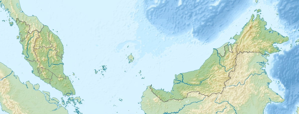 Mount Bombalai Map showing location of Mount Bombalai within Malaysia. | |
| Highest point | |
| Elevation | 531 m (1,742 ft) |
| Coordinates | 4°23′41″N 117°52′35″E |
| Geography | |
| Location | Tawau Division, Sabah, Malaysia |
| Geology | |
| Last eruption | Holocene |
Geology
The mountain is part of the Tawau volcanic field which contributed to the prominent topographic features of the Semporna Peninsula in northeastern Borneo and the western side of a valley in its middle section.[3][4][5] The low volcanic cone is north of Sebatik Island and has a roughly 300-m-wide crater breached to the south. Two young lava flows extend almost to the coastal plain. The flows are considered younger than a lava flow radiocarbon dated at about 27,000 years before present, and the extrusion of basaltic lavas possibly continued into the Holocene epoch.[6] Presence of geothermal activity has been reported in the surrounding mountains.[7][8]
See also
References
- Shalina R. (31 October 2017). "Ministry exploring volcano tourism in Tawau". The Borneo Post. Archived from the original on 20 May 2019. Retrieved 20 May 2019.
In Sabah, Tawau's Bombalai volcano is currently a dormant volcano and, since it estimated to have erupted thousands of years ago, it can be regarded as an ancient crater. Bombalai cinder cone is only a half-an-hour jungle walk from the entrance of Tawau Hills National Park.
- Malaysia. Jabatan Penyiasatan Kajibumi. Borneo Region (1962). Memoir.
- North Borneo. Geological Survey Department (1960). Annual Report of the Geological Survey Department.
- Borneo, British Territories. Geological Survey Dept (1960). Annual Report of the Geological Survey Department, British Territories in Borneo. Government Printer.
- T. R. Paton (1963). A Reconnaissance Soil Survey of the Semporna Peninsula, North Borneo. H.M. Stationery Office.
- Peter S. Bellwood (1988). Archaeological Research in South-eastern Sabah. Sabah Museum and State Archives. ISBN 978-983-99532-0-6.
- Rosemary Gillespie; D. A. Clague (2009). Encyclopedia of Islands. University of California Press. p. 112. ISBN 978-0-520-25649-1.
- Baba Musta; Hennie Fitria W. Soehady E.; Sanudin Tahir (2008). "Geochemical characterization of volcanic soils from Tawau, Sabah" (PDF). Bulletin of the Geological Society of Malaysia. Geology Programme, School of Science and Technology, Universiti Malaysia Sabah. Archived from the original (PDF) on 22 October 2017. Retrieved 22 October 2017.
This Sabah location article is a stub. You can help Wikipedia by expanding it. |
На других языках
- [en] Mount Bombalai
[ru] Бомбалай
Бомбалай — вулкан, расположенный на северо-востоке острова Борнео в штате Сабах, в Малайзии. Единственный дремлющий вулкан в Малайзии.Другой контент может иметь иную лицензию. Перед использованием материалов сайта WikiSort.org внимательно изучите правила лицензирования конкретных элементов наполнения сайта.
WikiSort.org - проект по пересортировке и дополнению контента Википедии