geo.wikisort.org - Mountains
Mount Alab (Malay: Gunung Alab) is a mountain located at the West Coast Division of Sabah, Malaysia. The mountain is located approximately 30 km (19 mi) from Sabah's capital of Kota Kinabalu, where it can be highly visible from the city on a clear sky and easily recognisable with the presence of telecommunications tower near its peak, approximately at 5°49′47″N 116°20′30″E.[1] With a height of 1,951 metres (6,401 ft),[1][2] it is the highest mountain within the Crocker Range in Sabah outside the protected park area and lies to the south of the highest peak on Borneo island, the Mount Kinabalu.[3][4]
| Mount Alab | |
|---|---|
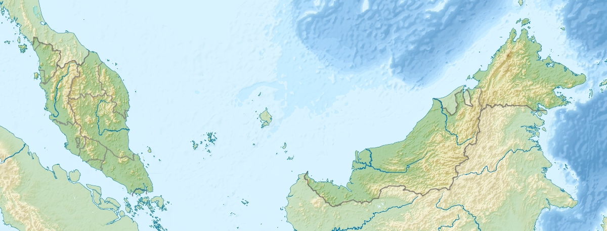 Mount Alab Map showing location of Mount Alab within Malaysia. | |
| Highest point | |
| Elevation | 1,951 m (6,401 ft) |
| Listing | Ribu |
| Coordinates | 5°49′N 116°22′E |
| Naming | |
| Native name | Gunung Alab (Malay) |
| Geography | |
| Location | West Coast Division, Sabah, Malaysia |
| Parent range | Crocker Range |
Geology
The rock of the mountain consists of Late Eocene-Lower Miocene sedimentary rocks from Crocker Formation which is made of sandstone, shale and interlayered sandstone-siltstone-shale unit.[2]
References
- "Class VI Virgin Jungle Reserve (VJR) [Infrastructure]". Government of Sabah. 2 April 2005. Retrieved 5 July 2019.
- Majeed M. Faisal; Edward Voo Lok Zan; Sanudin Tahir; Baba Musta (1999). "Geomorphology of Gunung Alab, Tambunan and Keningau" (PDF). Borneo Science: 19 [3/20]. Archived from the original (PDF) on 9 July 2019 – via Universiti Malaysia Sabah.
- "Crocker Range [Data Zone MY020]". BirdLife International. 2003. Retrieved 5 July 2019.
{{cite journal}}: Cite journal requires|journal=(help) - "Introduction to Crocker Range Park". Sabah Parks. Retrieved 5 July 2019.
The Park lies within 8 districts with elevation ranging between 100m to 2050m at the peak of Mt. Alab.
This article related to a mountain in Malaysia is a stub. You can help Wikipedia by expanding it. |
Другой контент может иметь иную лицензию. Перед использованием материалов сайта WikiSort.org внимательно изучите правила лицензирования конкретных элементов наполнения сайта.
WikiSort.org - проект по пересортировке и дополнению контента Википедии