geo.wikisort.org - Mountains
Beinn Chabhair (Gaelic: Beinn a' Chabhair) is a Scottish mountain. It has fine views down to Loch Lomond.
| Beinn Chabhair | |
|---|---|
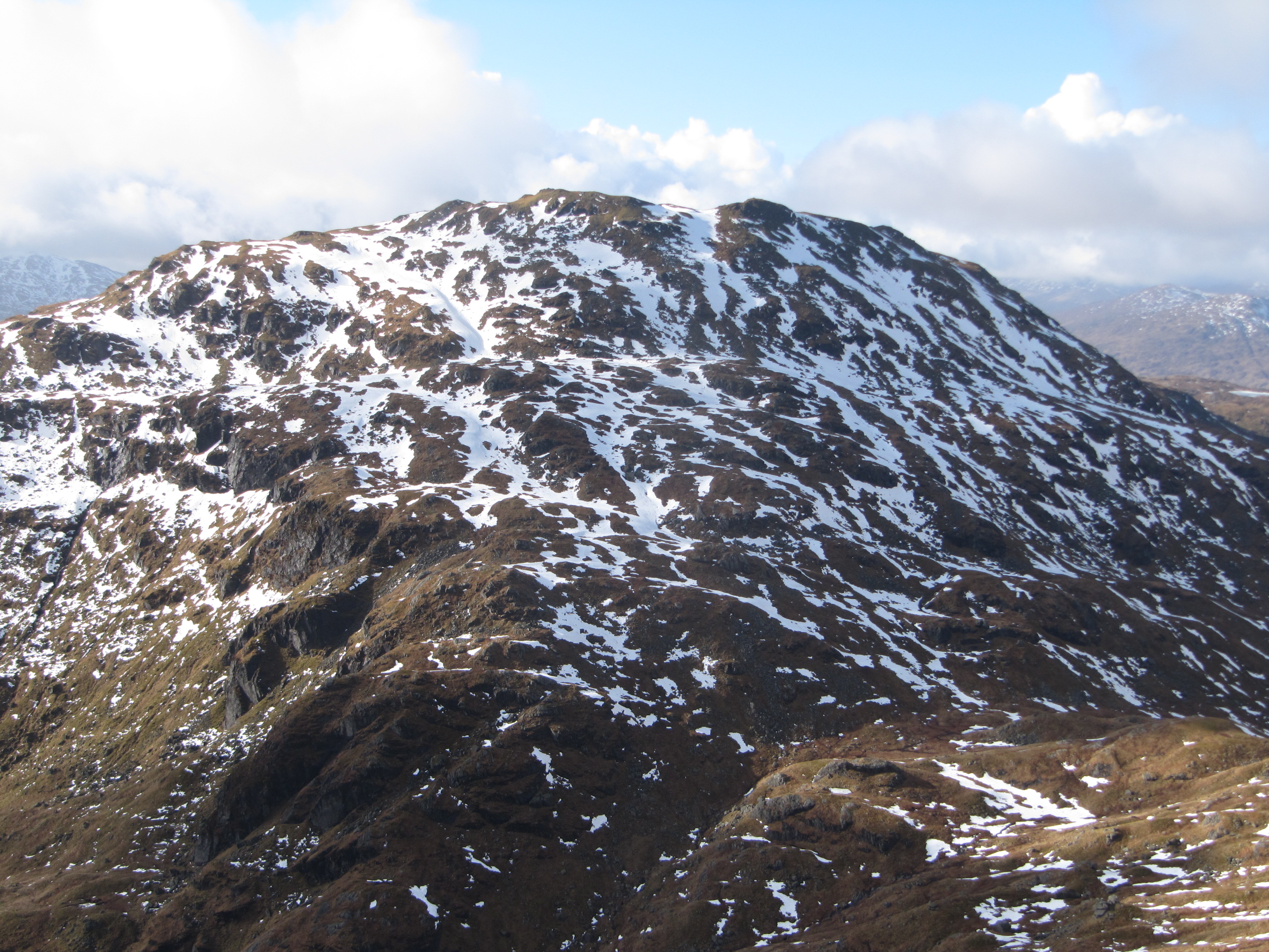 Beinn Chabhair viewed from below Beinn a' Chroin | |
| Highest point | |
| Elevation | 933 m (3,061 ft)[1] |
| Prominence | 314 m (1,030 ft)[2] |
| Parent peak | An Caisteal |
| Listing | Munro, Marilyn |
| Coordinates | 56° 20' N; 4° 38' W |
| Naming | |
| English translation | Hill of the Hawk [3] |
| Language of name | Gaelic |
| Pronunciation | Gaelic [ˈpeiɲ ə ˈxavɪɾʲ] ( |
| Geography | |
| Location | Stirling, Scotland |
| Parent range | Grampian Mountains |
| OS grid | NN36751793 |
| Topo map | OS Landranger 50 |
| Climbing | |
| Easiest route | Hillwalking |
A common approach is from Inverarnan, up a steep eroded path beside the dramatic waterfalls of the Ben Glas Burn then finding a vague route across fairly level but very boggy moorland before walking up the hill itself and finding a way around a series of craggy outcrops to the summit.[4]
References
| Wikimedia Commons has media related to Beinn Chabhair. |
- "walkhighlands Beinn Chabhair". walkhighlands.co.uk. 2013. Retrieved 15 October 2013.
- "Beinn Chabhair, Scotland". Peakbagger.com.
- Beinn Chabhair (Munro) - MunroMagic.com
- "Beinn Chabhair, from Inverarnan (Walkhighlands)". Retrieved 3 October 2011.
- The Munros, Scottish Mountaineering Trust, 1986, Donald Bennett (Editor) ISBN 0-907521-13-4
Munros of Scotland: Firth of Clyde to Strath Tay | |||
|---|---|---|---|
 |
|  | |
List of Munros | |||
This Stirling location article is a stub. You can help Wikipedia by expanding it. |
На других языках
[de] Beinn Chabhair
Der Beinn Chabhair ist ein 933 m (3.061 ft) hoher Berg in Schottland. Sein gälischer Name bedeutet wahrscheinlich Berg des Habichts[1] Er liegt in den südlichen Highlands zwischen dem Nordende von Loch Lomond und der Ortschaft Crianlarich im Loch Lomond and the Trossachs National Park und zählt zu den Munros.- [en] Beinn Chabhair
Текст в блоке "Читать" взят с сайта "Википедия" и доступен по лицензии Creative Commons Attribution-ShareAlike; в отдельных случаях могут действовать дополнительные условия.
Другой контент может иметь иную лицензию. Перед использованием материалов сайта WikiSort.org внимательно изучите правила лицензирования конкретных элементов наполнения сайта.
Другой контент может иметь иную лицензию. Перед использованием материалов сайта WikiSort.org внимательно изучите правила лицензирования конкретных элементов наполнения сайта.
2019-2026
WikiSort.org - проект по пересортировке и дополнению контента Википедии
WikiSort.org - проект по пересортировке и дополнению контента Википедии