geo.wikisort.org - Mountains
The Baffin Mountains are a mountain range running along the northeastern coast of Baffin Island and Bylot Island, Nunavut, Canada. The ice-capped mountains are part of the Arctic Cordillera and have some of the highest peaks of eastern North America, reaching a height of 1,525–2,146 metres (5,003–7,041 ft) above sea level.[1] While they are separated by bodies of water to make Baffin Island, they are closely related to the other mountain ranges that make the much larger Arctic Cordillera mountain range.[2]
| Baffin Mountains | |
|---|---|
 Summit Lake, mountains, Auyuittuq National Park | |
| Highest point | |
| Peak | Mount Odin |
| Elevation | 2,147 m (7,044 ft) |
| Coordinates | 66°33′N 65°26′W |
| Geography | |
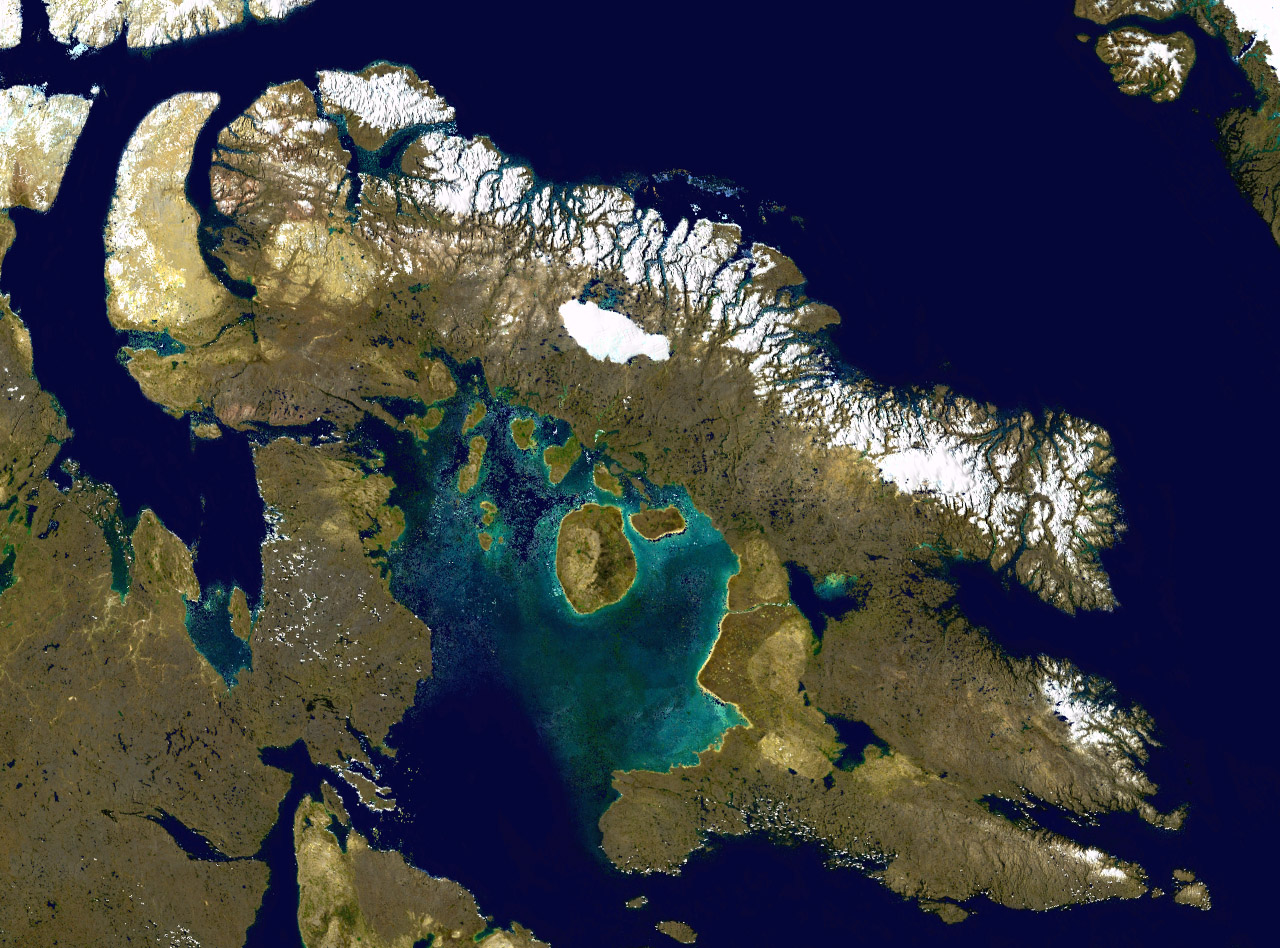 Satellite image of Baffin Island, the Baffin Mountains are seen in northeastern Baffin Island
| |
| Country | Canada |
| Territory | Nunavut |
| Regions | Baffin Island and Bylot Island |
| Parent range | Arctic Cordillera |
Terrain
The highest point is Mount Odin at 2,147 m (7,044 ft)[3][4] while Mount Asgard (Sivanitirutinguak) at 2,015 m (6,611 ft) is perhaps the best known.[5] The highest point in the northern Baffin Mountains is Qiajivik Mountain at 1,963 m (6,440 ft).[6] There are no trees in the Baffin Mountains because they are north of the Arctic tree line. Rocks that compose the Baffin Mountains are primarily deeply dissected granitic rocks. They were covered with ice until about 1500 years ago, and vast parts of them are still ice-covered. Geologically, the Baffin Mountains form the eastern edge of the Canadian Shield, which covers much of Canada's landscape.


| Rank | Name | m | ft |
|---|---|---|---|
| 1 | Mount Odin | 2147 | 7044 |
| 2 | Mount Asgard | 2015 | 6611 |
| 3 | Qiajivik Mountain | 1963 | 6440 |
| 4 | Angilaaq Mountain | 1951 | 6401 |
| 5 | Kisimngiuqtuq Peak | 1905 | 6250 |
| 6 | Ukpik Peak | 1809 | 5935 |
| 7 | Bastille Peak | 1733 | 5686 |
| 8 | Mount Thule | 1711 | 5614 |
| 9 | Angna Mountain | 1710 | 5610 |
| 10 | Mount Thor | 1675 | 5495 |
Glaciation
The ranges of the Baffin Mountains are separated by deep fjords and glaciated valleys with many spectacular glacial and ice-capped mountains. The snowfall in the Baffin Mountains is light, much less than in places like the Saint Elias Mountains in southeastern Alaska and southwestern Yukon which are plastered with snow.
The largest ice cap in the Baffin Mountains is the Penny Ice Cap, which has an area of 6,000 km2 (2,300 sq mi). During the mid-1990s, Canadian researchers studied the glacier's patterns of freezing and thawing over centuries by drilling ice core samples.[7]
Flora and fauna
The dominant vegetation in the Baffin Mountains is a discontinuous cover of mosses, lichens and cold-hardy vascular plants such as sedge and cottongrass.
History
One of the first mountaineering expeditions in the Baffin Mountains was in 1934 by J.M Wordie, in which two peaks called Pioneer Peak and Longstaff Tower were climbed.
The Auyuittuq National Park was established in 1976. It features much Arctic wilderness, such as fjords, glaciers and ice fields. In Inuktitut – the language of Nunavut's Aboriginal people, Inuit – Auyuittuq means "the land that never melts". Although Auyuittuq was established in 1976 as a national park reserve, it was upgraded to a full national park in 2000.
There were Inuit settlements in the Baffin Mountains before European contact. The first European contact is believed to have been by Norse explorers in the 11th century, but the first recorded sighting of Baffin Island was made by Martin Frobisher during his search for the Northwest Passage in 1576.
References
- Baffin Mountains[permanent dead link] Retrieved on 2007-10-06
- Park Wardens - Arctic Cordillera Archived 2008-02-17 at the Wayback Machine
- "Mount Odin, Nunavut". Peakbagger.com.
- "Mount Odin". Bivouac.com.
- "Baffin Island". Peakware World Mountain Encyclopedia. Archived from the original on 2016-03-04. Retrieved 2007-10-06.
- "Qiajivik Mountain". Bivouac.com.
- "Nunatsiaq News: Penney Ice Cap shrinking like the rest?". Archived from the original on 2008-05-12. Retrieved 2008-01-10.
Geography topics | |||||||
|---|---|---|---|---|---|---|---|
| |||||||
| Branches |
| ||||||
| Techniques and tools |
| ||||||
| Institutions |
| ||||||
| Education |
| ||||||
| |||||||
Physical geography | ||
|---|---|---|
|  | |
| ||
На других языках
- [en] Baffin Mountains
[es] Montes Baffin
Los montes de Baffin o montañas Baffin son una larga cordillera que discurre a lo largo de la costa nororiental de la isla de Baffin y ocupan por completo isla Bylot.[2] Forman parte de la cordillera Ártica.[fr] Monts Baffin
Les monts Baffin sont une chaîne de montagnes située sur la côte nord-est des îles Baffin et Bylot au Nunavut (Canada) dans la cordillère Arctique. Certains sommets des monts Baffin sont les points culminants de l'Est de l'Amérique du Nord. Le plus haut est le mont Odin qui atteint une altitude de 2 147 m. Même s'ils sont isolés sur l'île de Baffin par une étendue d'eau, ils sont directement reliés aux autres montagnes formant la cordillère Arctique et ne peuvent être considérés comme étant une cordillère à part entière.[ru] Горы Баффина
Баффиновы горы (англ. Baffin Mountains) — горный хребет, протянувшийся по северо-восточному берегу Баффиновой Земли и острова Байлот, часть Арктических Кордильер. Их покрытые льдом вершины — одни из самых высоких в восточной части Северной Америки, они зачастую достигают 1525—2146 метров над уровнем моря[2]. Баффиновы горы — не изолированная горная цепь, разделённая водными пространствами, а часть гораздо большей горной системы, Арктических Кордильер[3].Другой контент может иметь иную лицензию. Перед использованием материалов сайта WikiSort.org внимательно изучите правила лицензирования конкретных элементов наполнения сайта.
WikiSort.org - проект по пересортировке и дополнению контента Википедии