geo.wikisort.org - Island
Komsomolets Island (Russian: остров Комсомолец) is the northernmost island of the Severnaya Zemlya group in the Russian Arctic, and the third largest island in the group. It is the 82nd largest island on earth. About 65% of the island is covered with glaciers.
This article needs additional citations for verification. (March 2012) |
Native name: остров Комсомолец | |
|---|---|
 Terra-MODIS image of Komsomolets Island from June 2001 | |
 Komsomolets  Komsomolets | |
| Geography | |
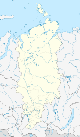
| Location | Krasnoyarsk Krai, Russia |
| Coordinates | 80°29′03″N 94°59′47″E |
| Archipelago | Severnaya Zemlya, Russia |
| Area | 9,006 km2 (3,477 sq mi) |
| Highest elevation | 935 m (3068 ft) |
| Administration | |
Russia | |

Geography
Komsomolets Island is separated from October Revolution Island in the south by the Red Army Strait and from Pioneer Island in the southwest by the Yuny Strait.[1] The northernmost point of the island is the Arctic Cape, the launching point for many Arctic expeditions.
Practically the whole of the central and southern part of the island is covered by the massive Academy of Sciences Glacier, between Krenkel Bay in the east and Zhuravlev Bay in the west.[2] The northern part is largely unglaciated. The area of this island has been estimated at 9,006 km2. It rises to a height of 780 m. Komsomolets Island is home to the largest ice cap in Russia, the Academy of Sciences Ice Cap.[3]
Geology
The soil of the island is mostly composed of loose loam and sands, a tundra desert scattered with mosses and lichens.[4]
History
The island was discovered by Boris Vilkitsky in 1913, but its insularity wasn't proven until 1931, when Georgy Ushakov and Nikolay Urvantsev charted the archipelago during their 1930–32 expedition.[5] They also named it. In keeping with their tradition of naming the islands after events and movements of the Russian Revolution, this island was named in honour of the members of the Komsomol, the "Communist Union of Youth."
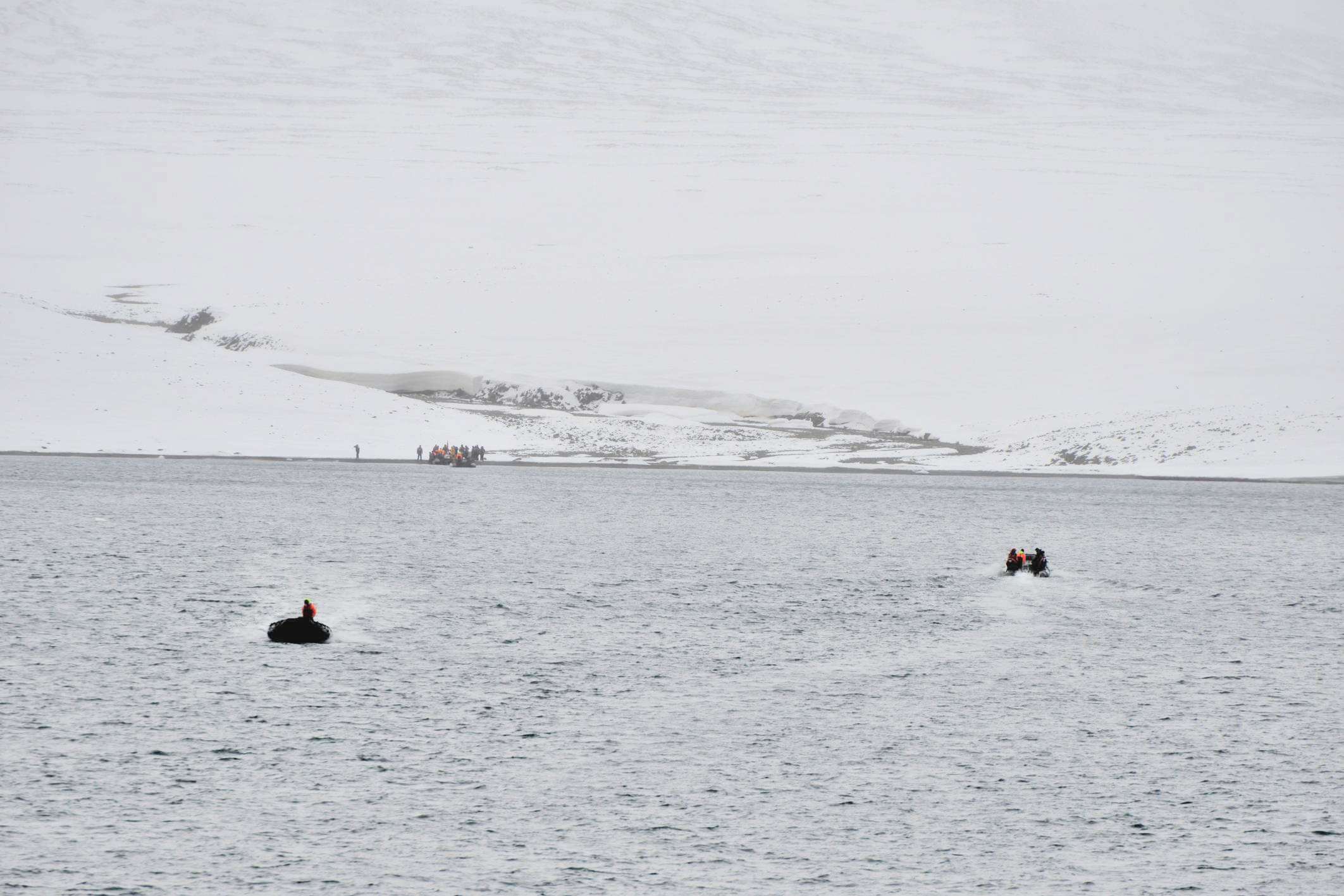
Photo gallery
 Krenkel Bay, northeastern coast of Komsomolets Island (80°40’N, 97°30‘O)
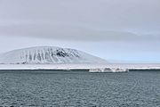 Krenkel Bay
 Abandoned Russian polar station Izluchina (Northeast coast of Komsomolets Island; 81°N, 96°33’E).
 Komsomolets Island:
Empty oil drums at Arctic Cape (Komsomolets Island; 81°15‘N, 95°39‘E).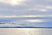 Zhuravlev Bay, located in the west coast of Komsomolets Island (80°44’N, 93°19‘E).
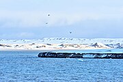 Zhuravlev Bay
 Zhuravlev Bay
 Zhuravlev Bay


References
- "Proliv Yunyy". Mapcarta. Retrieved 26 November 2016.
- "Lednik Akademii Nauk". Mapcarta. Retrieved 24 December 2016.
- "Severnaya Zemlya 1999-2000". Ecoshelf. Archived from the original on February 5, 2012. Retrieved March 14, 2012.
{{cite web}}: External link in|publisher= - https://web.archive.org/web/20101223015139/http://www.oceandots.com/arctic/severnaya-zemlya Russian Arctic - Severnaya Zemlya[dead link]
- Barr, William (1975). "Severnaya Zemlya: the last major discovery". Geographical Journal. 141 (1): 59–71. doi:10.2307/1796946.
External links
 Media related to Komsomolets Island at Wikimedia Commons
- Photos of the Academy of Science Ice Cap:
- Facts and dramatic satellite photos of the islands of the Severnaya Zemlya group:
|
На других языках
[de] Komsomolez-Insel
Die Komsomolez-Insel (russisch остров Комсомолец) ist die nördlichste und drittgrößte Insel des russischen Sewernaja-Semlja-Archipels im Arktischen Ozean. Die etwa 9.000 km² große Insel ist zu ca. 65 % vergletschert und erreicht eine maximale Höhe von 780 m. Die Insel wurde zuerst durch eine Expedition von Georgi Uschakow und Nikolai Urwanzew erforscht und benannt.- [en] Komsomolets Island
[es] Isla Komsomolets
La isla Komsomolets (en ruso: остров Комсомолец) es la más septentrional de las islas del grupo de Severnaya Zemlya, y está localizada en el Ártico de Rusia. Con una superficie estimada de 9.006 km²,[1] es la tercera isla más grande del grupo y la 82ª isla más grande del mundo.[fr] Île Komsomolets
L’île Komsomolets est une île de l'archipel de la Terre du Nord en Russie, entre la mer de Kara et la mer des Laptev. Elle en est l'île la plus septentrionale. Elle est séparée de l'Île de la Révolution d'Octobre par le détroit de l'Armée Rouge et de l'Île Pionnier par le détroit de Iouny. Elle est la troisième plus grande île de l'archipel après l'île de la Révolution d'Octobre et l'île Bolchevique.[it] Isola Komsomolec
L'isola Komsomolec (in russo: "остров Комсомолец") è l'isola più settentrionale dell'arcipelago della Severnaja Zemlja nella zona russa dell'oceano Artico, e la terza maggiore isola del gruppo. È anche la 82ª maggiore isola della Terra.[ru] Комсомолец (остров)
Комсомолец — самый северный из островов архипелага Северная Земля (Россия). Расположен между Карским морем и морем Лаптевых. Отделен от острова Октябрьской Революции проливом Красной Армии, а от острова Пионер — проливом Юный. По площади занимает третье место в архипелаге и 82 место на планете.Другой контент может иметь иную лицензию. Перед использованием материалов сайта WikiSort.org внимательно изучите правила лицензирования конкретных элементов наполнения сайта.
WikiSort.org - проект по пересортировке и дополнению контента Википедии