geo.wikisort.org - River
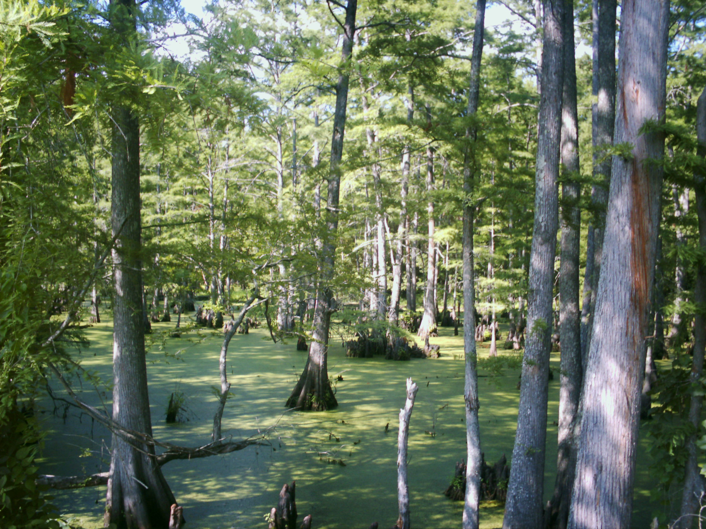
Cypress Bayou is the name applied to a series of wetlands at the western edge of Caddo Lake, in and around Jefferson, Texas, making up part of the largest Cypress forest in the world. The bayou is divided into three areas—each part of the watershed of a small river or creek—Little Cypress, Big Cypress, and Black Cypress. The features had been modified, to an extent, by human beings in the 19th and 20th centuries, but today is endangered by pollution, development, and the deforestation, through clear cutting, of the Piney Woods that surround the bayous. Large groves of trees have completely died off, and land has been recently deforested up to the water's edge.[1]
See also
- List of rivers of Texas
- Tributaries of the Red River (East Texas)
References
- Bagur, Jacques D. (2001). A history of navigation on Cypress bayou and the lakes. University of North Texas Press. ISBN 1-57441-135-7.
Wetlands and conservation | |
|---|---|
| Generally |
|
| Classification systems |
|
| Organizations |
|
Municipalities and communities of Marion County, Texas, United States | ||
|---|---|---|
County seat: Jefferson | ||
| City |  | |
| CDP |
| |
| Other communities |
| |
| Ghost town | ||
| ||
This article related to a river in Texas is a stub. You can help Wikipedia by expanding it. |
Другой контент может иметь иную лицензию. Перед использованием материалов сайта WikiSort.org внимательно изучите правила лицензирования конкретных элементов наполнения сайта.
WikiSort.org - проект по пересортировке и дополнению контента Википедии