geo.wikisort.org - Reservoir
Pyramid Lake is a reservoir formed by Pyramid Dam on Piru Creek in the eastern San Emigdio Mountains, near Castaic, Southern California. It is a part of the West Branch California Aqueduct, which is a part of the California State Water Project. Its water is fed by the system after being pumped up from the San Joaquin Valley and through the Tehachapi Mountains.
This article may be in need of reorganization to comply with Wikipedia's layout guidelines. (October 2016) |
This article needs additional citations for verification. (October 2016) |
| Pyramid Lake | |
|---|---|
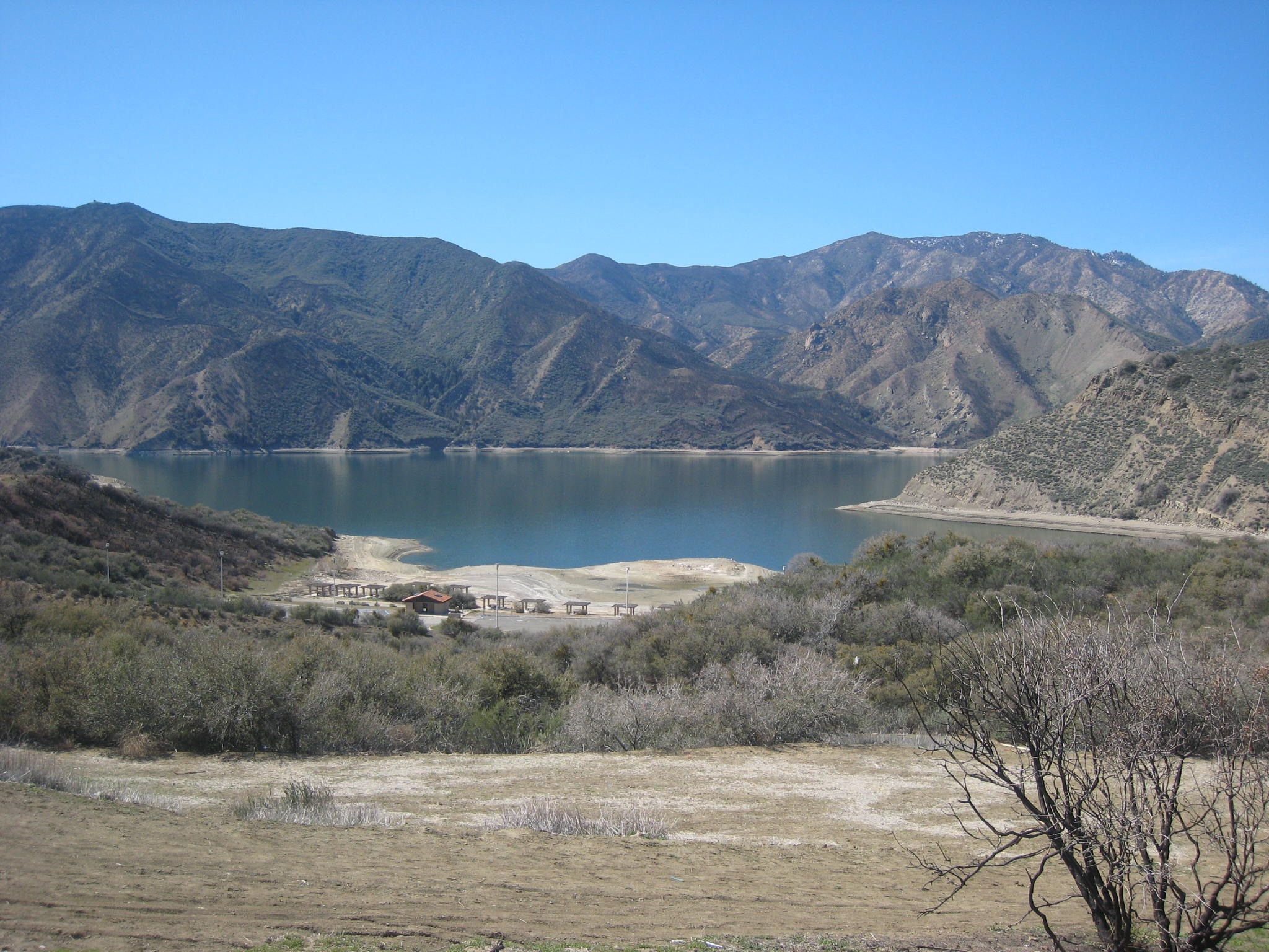
 Pyramid Lake and San Emigdio Mountains. | |
 Pyramid Lake  Pyramid Lake  Pyramid Lake | |
| Location | Angeles National Forest / Los Padres National Forest Los Angeles County, California |
| Coordinates | 34.644153°N 118.764258°W |
| Type | Reservoir |
| Primary inflows | West Branch California Aqueduct Piru Creek |
| Primary outflows | West Branch California Aqueduct Piru Creek |
| Basin countries | United States |
| Water volume | 222,000 acre⋅ft (274,000,000 m3) |
| Surface elevation | 786 m (2,579 ft) |
| References | U.S. Geological Survey Geographic Names Information System: Pyramid Lake |
History
In 1843, gold was discovered near what is now Pyramid Lake, in the Santa Feliciana Canyon, just south of what is now Pyramid Dam. The small find failed to trigger a rush to the mountainous countryside. Only Francisco Lopes, owner of Rancho Temescal, a Mexican land grant, and a handful of ranchers attempted to settle the region.[1]
This lake was created in 1972,[2] and completed in 1973, as a holding reservoir for the California State Water Project. The lake was named after a pyramid-shaped rock carved out by engineers building U.S. Route 99.[1] Travelers between Los Angeles and Bakersfield christened the landmark “Pyramid Rock,” which still stands just adjacent to the dam.[1]
Geography

Pyramid Lake is the deepest lake in the California Water Project system, built up along the steep canyon walls surrounding Piru Creek.
The 180,000 acre⋅ft (220,000,000 m3) reservoir lies on the border between the Angeles National Forest and the Los Padres National Forest, in the northwestern portion of Los Angeles County. It is to the west of Interstate 5 (I-5) south of Tejon Pass. The former alignment of US 99 is below the waters here, replaced by I-5.

Just below the dam, Piru Creek returns to its natural state as it winds down through the Topatopa Mountains to feed into the Lake Piru reservoir and later the Santa Clara River. Water from Pyramid Lake continues through the Angeles Tunnel to Castaic Lake, which is the terminus of the west branch of the aqueduct.
Description
The 118 m (387 ft) earth and rock dam was built by the California Department of Water Resources and was completed in 1973. Pyramid Lake is part of the California Aqueduct, which is part of the California State Water Project. Outflow goes downstream to Castaic Lake, which is the terminus of this West Branch aqueduct line.
Pyramid and Castaic lakes act as the upper and lower reservoirs for the Castaic Power Plant, a 1,495 megawatt pumped storage hydroelectric plant located at Castaic Lake.[3] The plant generates electricity from the water that flows down from Pyramid Lake to Castaic Lake, and can store energy by pumping water in the reverse direction when desired.
It is the deepest lake in the California Water Project system. [citation needed] Its name comes from the Pyramid Rock, created when a ridge was cut through in 1932 by the Ridge Route Alternate (US 99). Pyramid Rock still exists directly in front of the dam.[4]
Recreation

Pyramid Lake offers boating, fishing, jet skiing, and picnic areas (including 5 unique sites that are accessible only by boat), and courtesy docks.[3] Vista del Lago Visitors Center overlooks the lake.[5] Access is from exiting Interstate 5 at Vista Del Lago Road (Exit 191).
Fishing is allowed from every location at Pyramid Lake. One can catch fish such as large mouth bass, small mouth bass, striped bass, blue gill, crappie, and some trout. The California Office of Environmental Health Hazard Assessment (OEHHA) has developed a safe eating advisory for fish caught in Piru Creek based on levels of mercury or PCBs found in local species.[6]
See also
- List of dams and reservoirs in California
- List of lakes in California
References
- Pyramid Lake (Brochure). Dept of Water Resources, State of California. p. 2. Retrieved 27 May 2014.
- "US 99 – Piru Gorge, Beneath Pyramid Lake". 18 January 2009. p. 6. Retrieved 27 May 2014.
- CA—DWR: Pyramid Lake
- U.S. Geological Survey Geographic Names Information System: Pyramid Lake
- CA—DWR: Vista del Lago Visitors Center
- Admin, OEHHA (2014-12-30). "Pyramid Lake". OEHHA. Retrieved 2018-06-13.
External links
| Wikimedia Commons has media related to Pyramid Lake (Los Angeles County, California). |
- CA Dept. of Water Resources—DWR: Pyramid Lake Recreation website
- Pyramid Lake Los Alamos campground info and reservation site
Greater Los Angeles Area | ||
|---|---|---|
| Central city |  | |
| Counties |
| |
| Cities >200k | ||
| Cities and towns 100k−200k | ||
| Other towns | ||
| Other communities |
| |
| Area regions |
| |
| Landforms |
| |
| Bodies of water |
| |
На других языках
- [en] Pyramid Lake (Los Angeles County, California)
[fr] Pyramid Lake (Comté de Los Angeles)
Pyramid Lake est un réservoir formé par le Pyramid Dam sur Piru Creek dans l'est des monts de San Emigdio, près de Castaic, en Californie du Sud. Il fait partie de l'aqueduc de Californie, qui fait partie du California State Water Project. Son eau est alimentée par le système après avoir été pompée de la vallée de San Joaquin et à travers les monts Tehachapi.[it] Lago Pyramid (contea di Los Angeles, California)
Il lago Pyramid è un bacino idrico formato dalla diga Pyramid sul torrente Piru nelle montagne di San Emigdio, vicino a Castaic, nel sud della california.[ru] Пирамид (водохранилище)
Пирамид (англ. Pyramid Lake[2]) — водохранилище в округе Лос-Анджелес, штат Калифорния, США. Расположено в агломерации Большой Лос-Анджелес в горах Сан-Эмидьо[en].Другой контент может иметь иную лицензию. Перед использованием материалов сайта WikiSort.org внимательно изучите правила лицензирования конкретных элементов наполнения сайта.
WikiSort.org - проект по пересортировке и дополнению контента Википедии