geo.wikisort.org - Reservoir
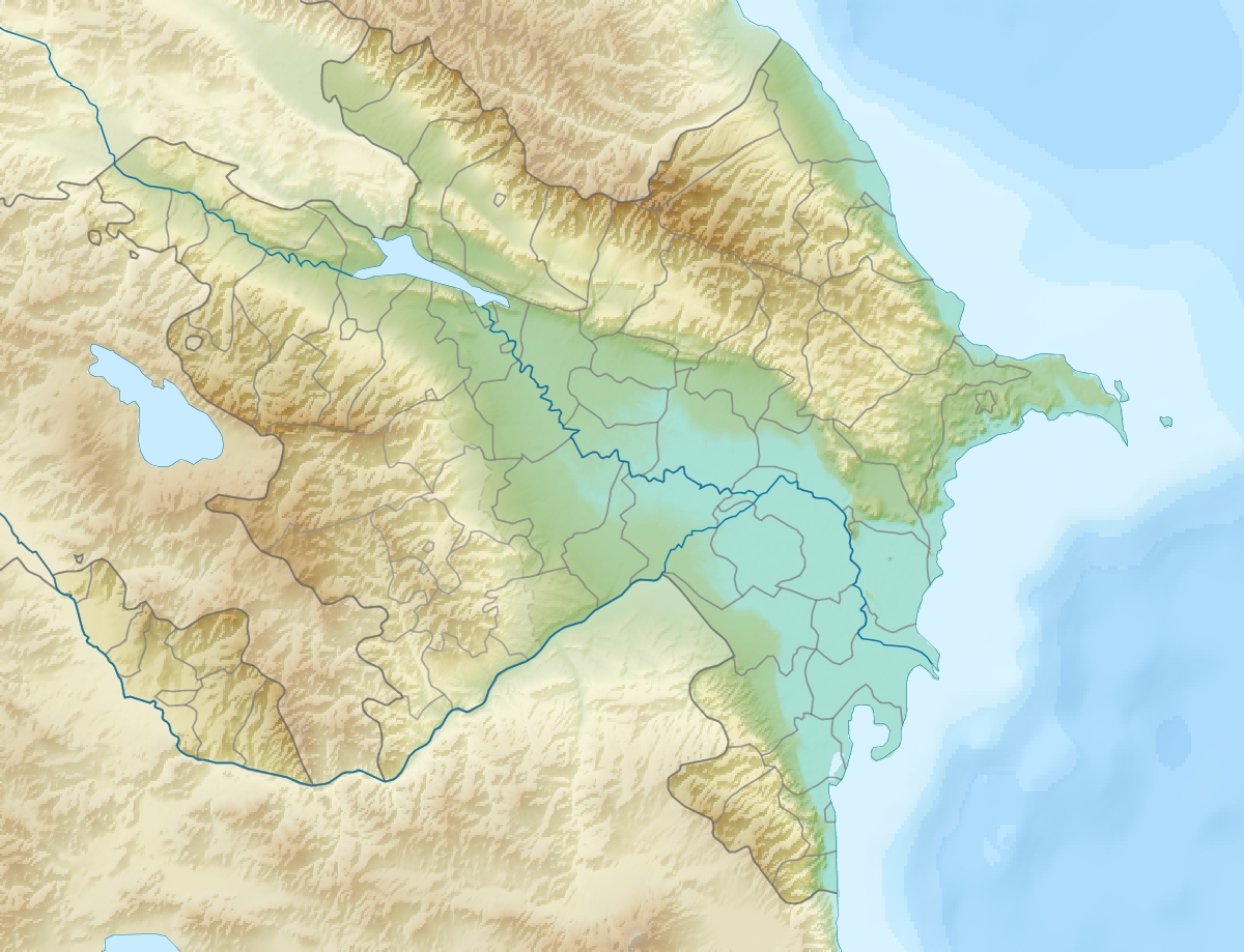
Maralgöl is a mountainous lake at an elevation of 1,910 metres (6,270 ft) on Mount Murovdag in western Azerbaijan. The lake has an area of 23 hectares (57 acres) with a greatest depth of 61 metres (200 ft). Maralgol is connected with the Göygöl lake, via the Aghsu River.[1] The collapse of rocks caused by a severe earthquake in 1139 resulted in the formation of this lake, which impeded the path of the local river.[2] The lake is surrounded with the marshland, typical moorland, mountains and dense forests. Out of the eight nearby alpine lakes, it is regarded as one of the most beautiful and attractive in the country.
This article needs additional citations for verification. (February 2017) |
| Maralgöl | |
|---|---|
 | |
 Maralgöl | |
| Location | Azerbaijan |
| Coordinates | 40°22′30″N 46°18′50″E |
| Type | lake |
| Surface area | 23 hectares (57 acres) |
| Surface elevation | 1,902 metres (6,240 ft) |
References
- "Nature, Culture, Architecture (@azerbaijan.in.photos) | Instagram photos and videos". imgrum. Retrieved 2017-05-19.
- "History of Ganja". ganca.net. Retrieved 5 March 2022.
External links
| Rivers | |
|---|---|
| Lakes | |
| Reservoirs |
|
This Azerbaijan location article is a stub. You can help Wikipedia by expanding it. |
На других языках
- [en] Maralgöl
[ru] Маралгёль
Маралгёль[1] (азерб. Maralgöl) — одно из горных озёр Азербайджана в Гёйгёльском районе.Текст в блоке "Читать" взят с сайта "Википедия" и доступен по лицензии Creative Commons Attribution-ShareAlike; в отдельных случаях могут действовать дополнительные условия.
Другой контент может иметь иную лицензию. Перед использованием материалов сайта WikiSort.org внимательно изучите правила лицензирования конкретных элементов наполнения сайта.
Другой контент может иметь иную лицензию. Перед использованием материалов сайта WikiSort.org внимательно изучите правила лицензирования конкретных элементов наполнения сайта.
2019-2026
WikiSort.org - проект по пересортировке и дополнению контента Википедии
WikiSort.org - проект по пересортировке и дополнению контента Википедии