geo.wikisort.org - River
The Samur (Rutul: Самыр; Lezgian: Самурвацl; Russian: Самур; Azerbaijani: Samurçay) is a river in Russia's Dagestan Republic, also partially flowing through Azerbaijan and forming part of the Azerbaijan–Russia border.[3]
| Samur سمور | |
|---|---|
 | |
  | |
| Native name | Самыр (Rutul) |
| Location | |
| Countries | Russia and Azerbaijan |
| Region | Caucasus |
| Districts |
|
| City | Samurçay |
| Physical characteristics | |
| Source | Main Caucasian Range Greater Caucasus |
| • location | Rutulsky District, Dagestan, Russia |
| • coordinates | 41°36′42″N 47°16′56″E |
| • elevation | 3,648 m (11,969 ft)[1] |
| Mouth | Caspian Sea |
• location | Dagestan, Russia |
• coordinates | 41°54′38″N 48°29′1″E |
| Length | 216 km (134 mi)[1] |
| Basin size | 7,330 km2 (2,830 sq mi)[2] |
| Discharge | |
| • location | downstream into Tahirçay and Uğar rivers of Azerbaijan and finally directly downstream into Caspian Sea[1] |
| • average | 75 m3/s (2,600 cu ft/s)[1] |
| Basin features | |
| Tributaries | |
| • left | Khalakhur |
| • right | Usuxçay |
Overview
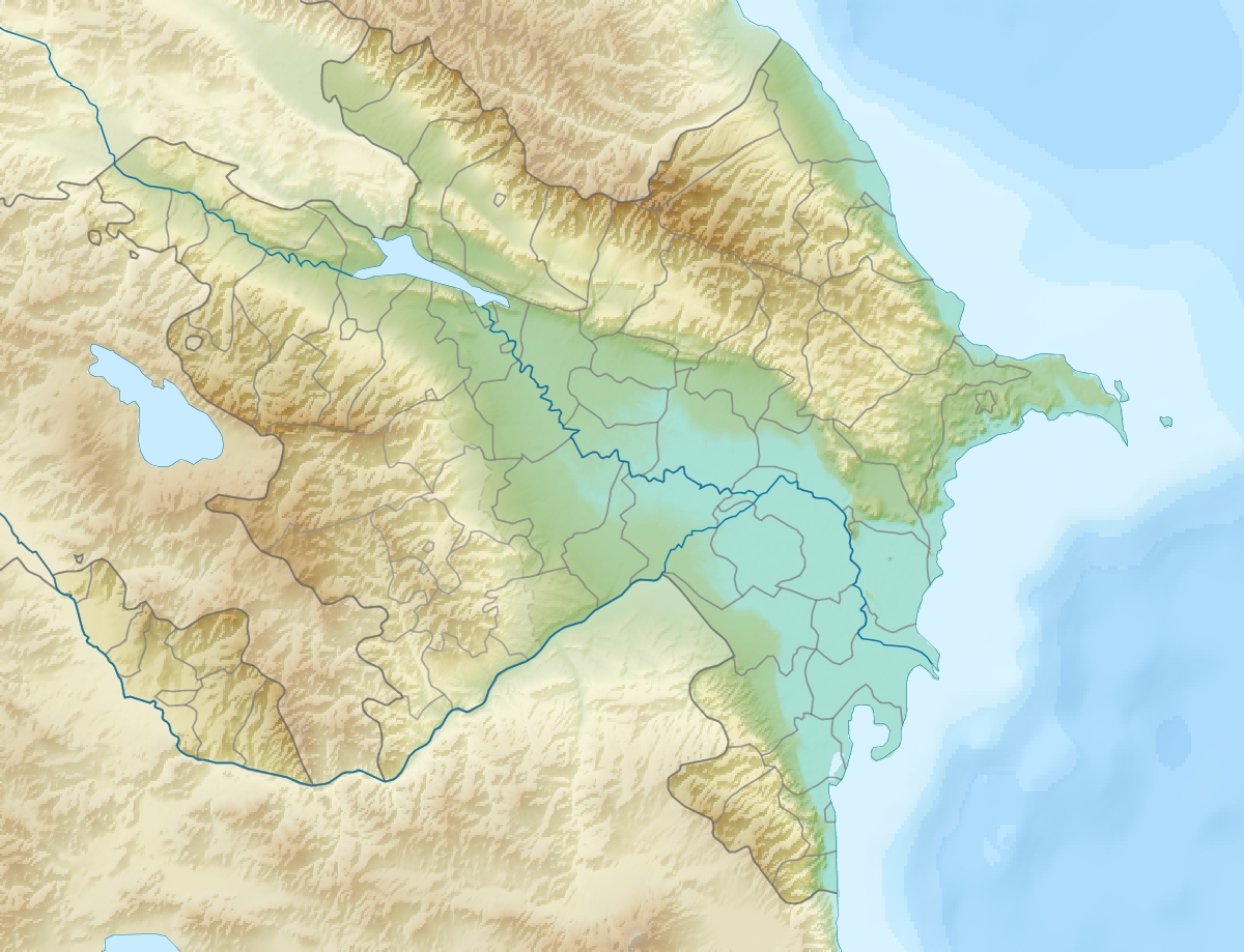
The Samur river originates in glaciers and mountain springs of the Greater Caucasus mountains. It rises in the northeastern part of Guton Mount at an elevation of 3,648 m (11,969 ft). Descending from the mountains for 7 km (4.3 mi), the river receives its tributary the Khalakhur River flowing down from an elevation of 3,730 m (12,240 ft).[2][4] The length of the river is 216 km (134 mi), its basin 5,000 km2 (1,900 sq mi). The elevated and midsections of the river from through the territory of Russia, lower sections flow through Azerbaijan making up the Russian-Azerbaijani border. After joining its other tributary Usuxçay River, the width of the river grows. Once the river is in the open Caspian basin, it splits some of its parts into Tahirçay (34 km (21 mi)) and Uğar 28 km (17 mi) rivers on Azerbaijani territory. The river mainly feeds on rain and underground waters with its volume broken up as follows: 42% from rain, 32% from underground waters, 22% from snow, 4% from glaciers.[1] The river supplies irrigation water to the Samur-Absheron channel, which follows south to Jeyranbatan reservoir.[5]
See also

Koysu
- Rivers and lakes in Dagestan
- Rivers and lakes in Azerbaijan
References
- RIVERS OF AZERBAIJAN: Samur çayi Retrieved on 6 November 2010
- Самур, Great Soviet Encyclopedia. Retrieved on 21 June 2020
- National Geospatial-Intelligence Agency: Samur: Azerbaijan Retrieved on 6 November 2010
- Восточный Кавказ - Путеводители По Самуру Retrieved on 6 November 2010
- Azərbaycan təbiəti haqqında ümumi məlumat Retrieved on 6 November 2010
External links
 Media related to Samur at Wikimedia Commons
Authority control | |
|---|---|
| General |
|
| National libraries | |
This article related to a river in Russia is a stub. You can help Wikipedia by expanding it. |
This Republic of Dagestan location article is a stub. You can help Wikipedia by expanding it. |
На других языках
[de] Samur
Der Samur (russisch Самур; aserbaidschanisch Samurçay) ist ein Fluss in der Kaukasusregion mit 213 km Länge.- [en] Samur (river)
[it] Samur
Il Samur (russo Самур; azero Samurçay) è un fiume del Daghestan che segna in parte il confine tra la Russia e l'Azerbaigian. È lungo 213 km e drena un'area di 7330 km². Nasce da un versante del monte Guton (Gran Caucaso) e scorre attraverso una profonda e angusta valle tra le catene dei monti Kiabiak e Samur. Procedendo verso sud la vallata diviene più ampia e il corso del fiume si ramifica. Il Samur sfocia nel mar Caspio attraverso un delta. Le acque del fiume hanno origini diverse, ma la maggior parte di esse è di origine pluviale. Il periodo di acqua alta si protrae dalla fine di marzo ad agosto. La portata media, a 20 km dalla foce, è di 75 m³/s. La torbidità media è di 1950 g/m³. Dal corso principale del fiume si dipartono i canali artificiali Samur-Apsheron e Samur-Derbent (33 km).[ru] Самур
Саму́р (цахур. Самур[2]; рут. Самыр[3]; лезг. ЧӀвехер вацӏ, азерб. Samurçay) — река в России, в Южном Дагестане; по части русла проходит граница России с Азербайджаном. Является второй по величине рекой в Дагестане[4], частично пограничной с Азербайджаном. Исток находится в Рутульском районе Дагестана. От села Гарах до Самурского гидроузла по реке проходит государственная граница между Российской Федерацией и Республикой Азербайджан.Другой контент может иметь иную лицензию. Перед использованием материалов сайта WikiSort.org внимательно изучите правила лицензирования конкретных элементов наполнения сайта.
WikiSort.org - проект по пересортировке и дополнению контента Википедии