geo.wikisort.org - Reservoir
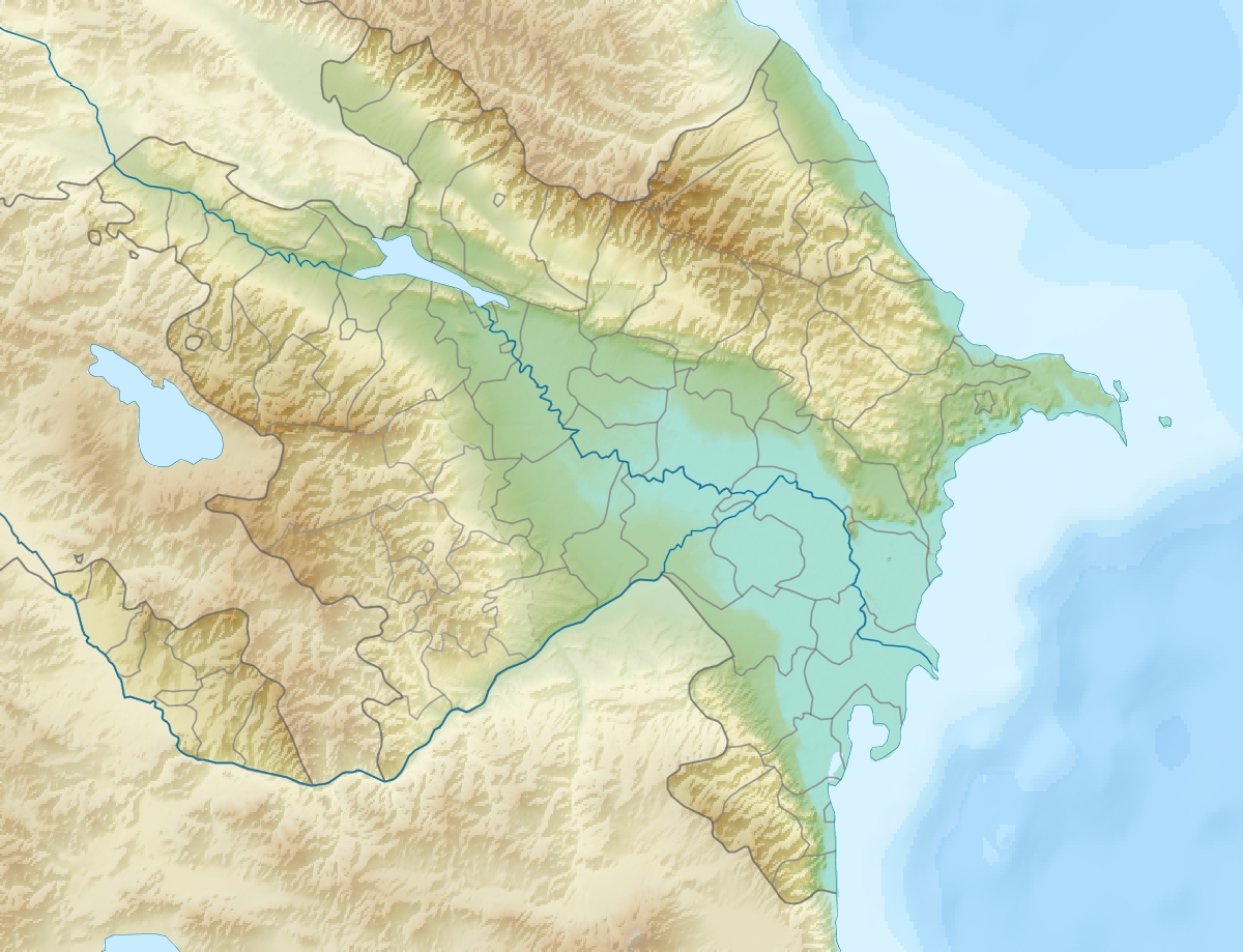
Sarysu (Azerbaijani: Sarısu meaning "Yellow Water") is the largest lake of Azerbaijan located in Imishli and Sabirabad raions of the Kur-Araz Lowland.[1]
| Lake Sarysu | |
|---|---|
 Lake Sarysu | |
| Location | Imishli Rayon Sabirabad Rayon |
| Coordinates | 40°02′50″N 48°10′22″E |
| Type | Meromictic lake, wetland |
| Primary inflows | Lake Ağgöl |
| Primary outflows | Kura River |
| Catchment area | Endorheic basin |
| Basin countries | Azerbaijan |
| Max. length | 22 km (14 mi) |
| Max. width | 3 km (1.9 mi) |
| Surface area | 65.7 km2 (25.4 sq mi) |
| Average depth | .5 m (1 ft 8 in) |
| Max. depth | 6.05 m (19.8 ft) |
| Water volume | 60 million m3 (2.1 billion cu ft) |
| Shore length1 | 0.9 m (2 ft 11 in) |
| 1 Shore length is not a well-defined measure. | |
Overview
Sarysu lake stretches along the Kura River from Imishli Rayon southeast to Sabirabad Rayon reaching a total length of 22 km (14 mi). It is one of the four lakes present in the area. The water in the lake is fresh water. The lake inflows from Lake Ağgöl through a canal – and which is also replenished by groundwater and rain – and outflows to the Kura River. The outflow to Kura is regulated by a water-releasing station in Muradbəyli.[2]
The lake is separated from the residential areas in the north by a highway which prevents it from potential pollution. The southern part of the lake has been polluted from waters of onshore oil production activities in the past.
The shoreline of Sarysu is mainly made up from wetlands and swamps. The overall area is 65.7 km2 (25.4 sq mi).[3] The approximate volume of water in the lake is 60 million m3. Average depth is 1–3 meters, at the shoreline 0.1-0.9 meters. The increases of volume of water is mainly observed in spring and fall seasons. During winter season, the average ice-covering period is 11 days. The lake is rich with common carp and vobla. Favorable conditions at the lake attract 300-350 thousand migrating birds during the winter. Mineralization at Sarysu is high.[2]
Overflowing and floods
The river sometimes overflows and floods. In 1976, overflowing of the Kura River caused the lake to increase in size by 3-5 times.[2] In May 2010, major flooding struck the area. Heavy rains caused the volume level of the Kura river increased by 12 cm and the level of lake Sarysu by 20 cm.[4] On 24 May 2010, Muradbeyli village, surrounded by the lake on the south and the Kura River on the north, completely flooded collapsing the dam.[5] Muradbəyli and three other villages Qasımbəyli, Əsgərbəyli, Axtaçı of Sabirabad Rayon as well as Nərimankənd, Musalı, Dəllər and Novruzlu of Saatly Rayon were evacuated.[6][7][8]
Sarysu is a primary source for fishing and partially for irrigation.[9][10]
See also
- Rivers and lakes in Azerbaijan
References
- Azərbaycanın çayları, gölləri və su anbarları. (Rivers, lakes and reservoirs of Azerbaijan.) Archived 17 October 2014 at the Wayback Machine (in Azerbaijani)
- Səth sularının çirklənmə vəziyyəti: Sarısu gölü (State of surface water pollution: Lake Sarysu.) Archived 29 November 2014 at the Wayback Machine (in Azerbaijani)
- Ministry of Ecology of Azerbaijan Archived 17 October 2014 at the Wayback Machine
- 18 May 2010 "Sarısu gölündə suyun səviyyəsi dünəndən bu günə kimi 20 santimetr qalxıb". Retrieved 5 October 2010
- 24 May 2010; APA Sarısu gölü Sabirabad rayonunun Muradbəyli kəndi istiqamətindən bəndi yarıb Archived 26 May 2010 at the Wayback Machine. Retrieved 7 October 2010
- 24 May 2010; ANS Sarısu gölü ətrafındakı 8 kənd boşaldılır. Retrieved 7 October 2010
- 24 May 2010; Trend News Azərbaycanın İmişli, Sabirabad və Saatlı rayonları ərazisindəki Sarısu gölü ətrafındakı kəndlərin əhalisi köçürülüb – FHN. Retrieved 7 October 2010
- NASA-Earth Observatory: Flooding in Azerbaijan
- Water resources of Azerbaijan
- BirdLife International
External links
- Satellite image of Sarysu from Wikimapia
- At Sarysu Lake in the winter (from Azerbaijani Wikipedia)
| Rivers | |
|---|---|
| Lakes | |
| Reservoirs |
|
На других языках
- [en] Lake Sarysu
[ru] Сарысу (озеро)
Сарысу́ (азерб. Sarısu — в переводе «Жёлтая вода»[1]) — крупнейшее озеро в Азербайджане, находится в Имишлинском и Сабирабадском районах.Другой контент может иметь иную лицензию. Перед использованием материалов сайта WikiSort.org внимательно изучите правила лицензирования конкретных элементов наполнения сайта.
WikiSort.org - проект по пересортировке и дополнению контента Википедии