geo.wikisort.org - Reservoir
Hajikabul is the sixth largest lake of Azerbaijan.[2]
| Lake Hajikabul | |
|---|---|
 Lake Hajikabul | |
| Coordinates | 39.9833°N 48.925°E |
| Basin countries | Azerbaijan |
| Surface area | 6 sq mi (16 km2)[1] |
| References | [1] |
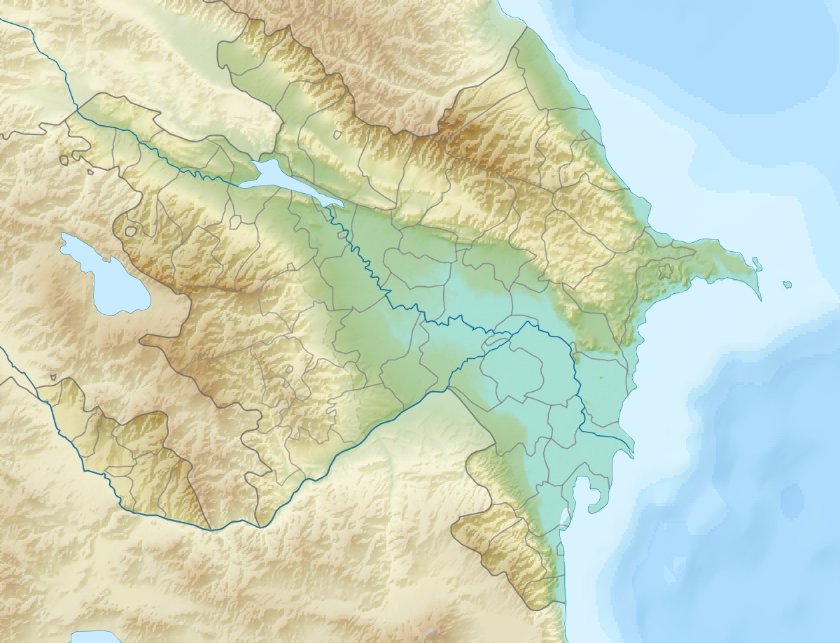
It is located to the south-west of Baku, near Shirvan city, in Hajigabul Rayon, not far from a railway station. Its total area is 1668 ha, maximal length - 6 km, maximal width - 3 km and depth - 5 m. The lake is supplied by waters of the Kura River, with a special channel. Temperature of water hesitates between 5 °C and 28,5 °C. Pellucidity of water is between 0,06 and 2,5 m. Barbel, carp, sheatfish, pike, zander and grass carp are commercial fishes of the lake. Water plants such as reed mace, reed, bulrush, buttercup and hornwort are met in the lake.[3]
The lake is located in Kur-Araz Lowland. It formed in the result of withdrawal of the Caspian Sea in a definite geological period. Spring flows of the Kura River increase the area of the lake.[4]
It doesn't freeze in winter and has a great significance for hibernation of migratory birds.
References
- "Virtual Azerbaijan"
- Water resources of Azerbaijan
- Hajigabul Archived 2013-09-07 at the Wayback Machine
- "Hacıqabul rayonu". Archived from the original on 2012-10-12. Retrieved 2012-10-15.
| Rivers | |
|---|---|
| Lakes | |
| Reservoirs |
|
Authority control | |
|---|---|
| General |
|
| National libraries | |
This Azerbaijan location article is a stub. You can help Wikipedia by expanding it. |
На других языках
- [en] Lake Hajikabul
[ru] Аджикабул (озеро)
Аджикабу́л[2][3] или Аджикабульское[1] (азерб. Hacıqabul) — озеро в Азербайджане[2], находится на границе города республиканского подчинения Ширван и Аджикабульского района[4].Другой контент может иметь иную лицензию. Перед использованием материалов сайта WikiSort.org внимательно изучите правила лицензирования конкретных элементов наполнения сайта.
WikiSort.org - проект по пересортировке и дополнению контента Википедии