geo.wikisort.org - Reservoir
Lake Hibara (桧原湖, Hibara-ko) is a lake located in Yama District, Fukushima, Japan. It is a part of the Bandai-Asahi National Park and is the largest of the lakes in the Bandai-kōgen highlands.[1]
| Lake Hibara | |
|---|---|
 Lake Hibara viewed from north of Mount Bandai | |
 Lake Hibara | |
| Location | Kitashiobara |
| Coordinates | 37°41′0″N 140°3′20″E |
| Basin countries | Japan |
| Surface area | 10.7 km2 (4.1 sq mi) |
| Max. depth | 30.5 m (100 ft) |
| Water volume | 0.13 km3 (110,000 acre⋅ft) |
| Shore length1 | 31.5 km (19.6 mi) |
| Surface elevation | 822.0 m (2,696.9 ft) |
| 1 Shore length is not a well-defined measure. | |
Formation
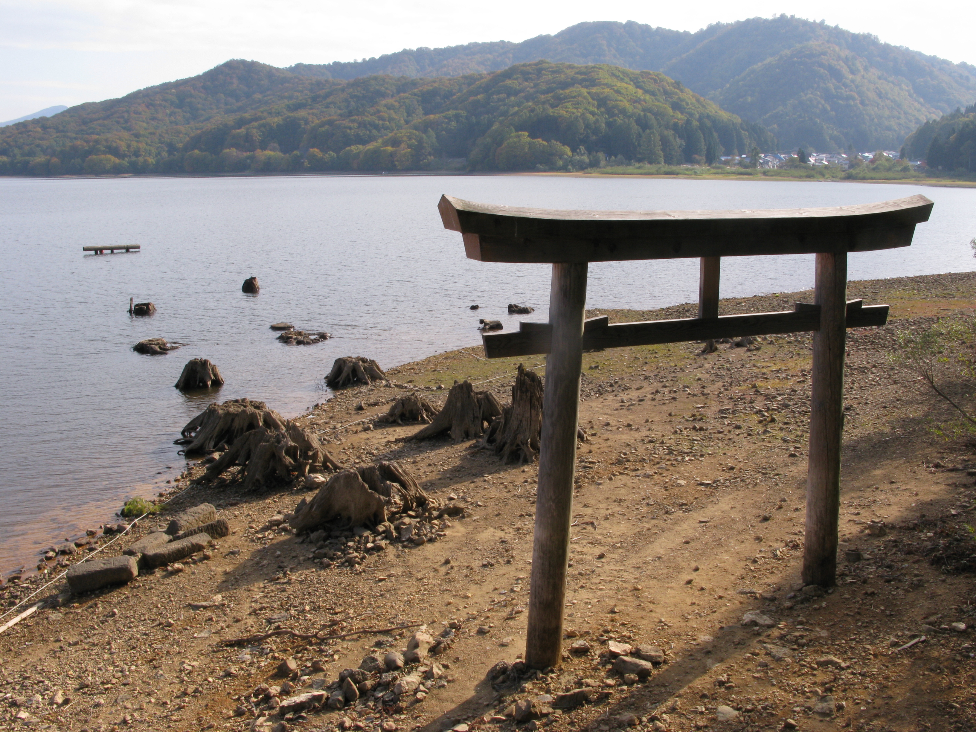
A mesotrophic lake, Lake Hibara was formed as a result of the July 15, 1888 eruption of Mount Bandai. The resulting debris avalanche created a natural dam that then filled with water, submerging Hibara Village (桧原村, Hibara-mura). The remains of Hibara Village still lie at the bottom of the lake.[2]
Recreation
A tourist industry has built up around Lake Hibara, offering hiking trails, pleasure cruises, and campgrounds and other lodging. In the winter, ice fishing is popular.
Climate
| Climate data for Lake Hibara (1991−2020 normals, extremes 1978−present) | |||||||||||||
|---|---|---|---|---|---|---|---|---|---|---|---|---|---|
| Month | Jan | Feb | Mar | Apr | May | Jun | Jul | Aug | Sep | Oct | Nov | Dec | Year |
| Record high °C (°F) | 10.0 (50.0) |
13.9 (57.0) |
16.1 (61.0) |
24.4 (75.9) |
29.2 (84.6) |
30.1 (86.2) |
31.5 (88.7) |
32.0 (89.6) |
30.2 (86.4) |
25.5 (77.9) |
19.9 (67.8) |
16.6 (61.9) |
32.0 (89.6) |
| Average high °C (°F) | −0.6 (30.9) |
0.2 (32.4) |
3.9 (39.0) |
10.8 (51.4) |
17.4 (63.3) |
20.7 (69.3) |
24.1 (75.4) |
25.5 (77.9) |
21.3 (70.3) |
15.2 (59.4) |
8.9 (48.0) |
2.4 (36.3) |
12.5 (54.5) |
| Daily mean °C (°F) | −4.2 (24.4) |
−4.0 (24.8) |
−0.7 (30.7) |
5.0 (41.0) |
11.5 (52.7) |
15.7 (60.3) |
19.7 (67.5) |
20.6 (69.1) |
16.4 (61.5) |
10.1 (50.2) |
4.2 (39.6) |
−1.2 (29.8) |
7.8 (46.0) |
| Average low °C (°F) | −8.8 (16.2) |
−9.4 (15.1) |
−5.7 (21.7) |
−0.4 (31.3) |
5.4 (41.7) |
10.8 (51.4) |
15.7 (60.3) |
16.4 (61.5) |
12.0 (53.6) |
5.3 (41.5) |
−0.3 (31.5) |
−5.1 (22.8) |
3.0 (37.4) |
| Record low °C (°F) | −21.7 (−7.1) |
−22.9 (−9.2) |
−18.1 (−0.6) |
−10.9 (12.4) |
−2.9 (26.8) |
0.5 (32.9) |
4.8 (40.6) |
5.6 (42.1) |
0.5 (32.9) |
−5.5 (22.1) |
−11.9 (10.6) |
−16.7 (1.9) |
−22.9 (−9.2) |
| Average precipitation mm (inches) | 145.1 (5.71) |
110.3 (4.34) |
119.1 (4.69) |
113.1 (4.45) |
117.9 (4.64) |
151.4 (5.96) |
259.2 (10.20) |
214.7 (8.45) |
160.1 (6.30) |
136.2 (5.36) |
130.7 (5.15) |
165.2 (6.50) |
1,822.8 (71.76) |
| Average rainy days (≥ 1.0 mm) | 19.9 | 17.3 | 16.9 | 13.8 | 12.3 | 12.3 | 16.3 | 12.9 | 13.4 | 12.7 | 15.6 | 20.3 | 183.7 |
| Mean monthly sunshine hours | 42.9 | 53.3 | 92.7 | 143.1 | 166.6 | 134.1 | 112.6 | 151.5 | 115.8 | 108.1 | 82.3 | 53.1 | 1,256.1 |
| Source: Japan Meteorological Agency[3][4] | |||||||||||||
Gallery
|


Notes
- Takeda T., page 174.
- 裏磐梯を代表する湖沼群 (in Japanese). 裏磐梯観光協会. Archived from the original on November 29, 2011. Retrieved June 30, 2011.
- 観測史上1~10位の値(年間を通じての値). JMA. Retrieved February 18, 2022.
- 気象庁 / 平年値(年・月ごとの値). JMA. Retrieved February 18, 2022.
References
- Takeda, Toru; Hishinuma, Tomio; Kamieda, Kinuyo; Dale, Leigh; Oguma, Chiyoichi (August 10, 1988). "Hello! Fukushima - International Exchange Guide Book" (1988 ed.). Fukushima City: Fukushima Mimpo Press.
{{cite journal}}: Cite journal requires|journal=(help)
Lakes in Japan | |
|---|---|
| Hokkaido region | |
| Tōhoku region | |
| Kantō region |
|
| Chūbu region |
|
| Kansai region | |
| San'in region | |
| Kyūshū region | |
This Fukushima Prefecture location article is a stub. You can help Wikipedia by expanding it. |
На других языках
- [en] Lake Hibara
[fr] Lac Hibara
Le lac Hibara (桧原湖, Hibara-ko?) se trouve à Kitashiobara, dans la préfecture de Fukushima, au Japon. Il fait partie du parc national de Bandai-Asahi et c'est le plus grand des lacs du plateau de Bandai-kōgen.Другой контент может иметь иную лицензию. Перед использованием материалов сайта WikiSort.org внимательно изучите правила лицензирования конкретных элементов наполнения сайта.
WikiSort.org - проект по пересортировке и дополнению контента Википедии