geo.wikisort.org - Mountains
Yellowhead Mountain is located on the border of Alberta and British Columbia. It was named for Pierre Bostonais aka Tête Jaune.[1][2] The mountain has four officially named summits: Bingley Peak, Leather Peak, Lucerne Peak, and Tête Roche.
| Yellowhead Mountain | |
|---|---|
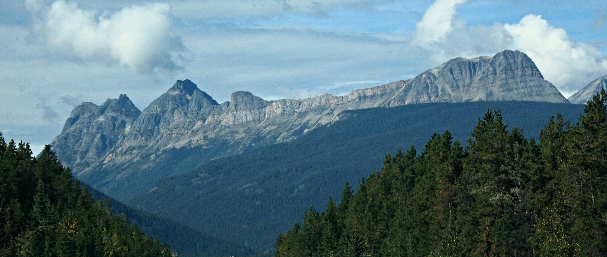
 Yellowhead Mountain from Yellowhead Lake | |
| Highest point | |
| Elevation | 2,458 m (8,064 ft)[1] |
| Prominence | 343 m (1,125 ft) |
| Coordinates | 52°52′54″N 118°37′24″W |
| Geography | |
Yellowhead Mountain Location on Alberta/B.C. boundary  Yellowhead Mountain Yellowhead Mountain (Canada) | |
| Country | Canada |
| Provinces | Alberta and British Columbia |
| Parent range | Victoria Cross Ranges |
| Topo map | NTS 83D15 Lucerne |
Climate
Based on the Köppen climate classification, Yellowhead Mountain is located in a subarctic climate zone with cold, snowy winters, and mild summers.[3] Temperatures can drop below −20 °C with wind chill factors below −30 °C. In terms of favorable weather, July through September are the best months to climb.
See also
- List of peaks on the Alberta–British Columbia border
- List of mountains of Alberta
- Mountains of British Columbia
References
- "Yellowhead Mountain". PeakFinder.com. Retrieved 2019-06-09.
- "Yellowhead Mountain". Bivouac.com. Retrieved 2019-06-09.
- Peel, M. C.; Finlayson, B. L.; McMahon, T. A. (2007). "Updated world map of the Köppen−Geiger climate classification". Hydrol. Earth Syst. Sci. 11: 1633–1644. ISSN 1027-5606.
| Authority control: National libraries |
|---|
This Alberta's Rockies location article is a stub. You can help Wikipedia by expanding it. |
This article about a location in British Columbia, Canada is a stub. You can help Wikipedia by expanding it. |
Текст в блоке "Читать" взят с сайта "Википедия" и доступен по лицензии Creative Commons Attribution-ShareAlike; в отдельных случаях могут действовать дополнительные условия.
Другой контент может иметь иную лицензию. Перед использованием материалов сайта WikiSort.org внимательно изучите правила лицензирования конкретных элементов наполнения сайта.
Другой контент может иметь иную лицензию. Перед использованием материалов сайта WikiSort.org внимательно изучите правила лицензирования конкретных элементов наполнения сайта.
2019-2025
WikiSort.org - проект по пересортировке и дополнению контента Википедии
WikiSort.org - проект по пересортировке и дополнению контента Википедии