Places and tea estates in the north-western portion of Darjeeling Sadar subdivision (including Darjeeling Pulbazar CD block) in Darjeeling district CT: census town, R: rural/ urban centre, N: neighbourhood, H: hill centre, NP: national park/ wildlife sanctuary, TE: tea estate, TA: tourist attraction Abbreviations used in names – TG for Tea Garden (town/village), TE for Tea Estate Owing to space constraints in the small map, the actual locations in a larger map may vary slightly
Location
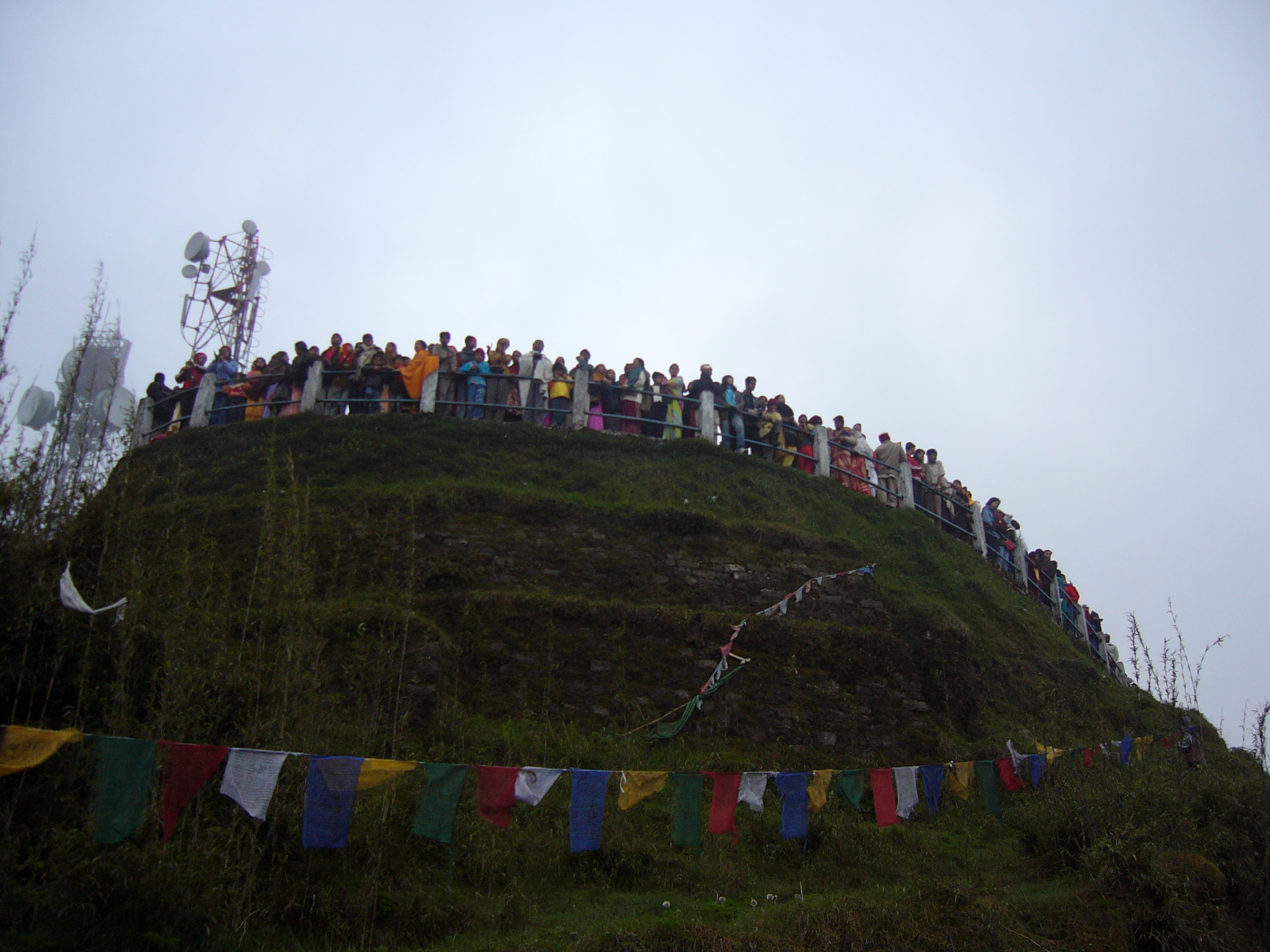
It is 11 kilometres (6.8mi) from the town of Darjeeling and can be reached either by jeep or by foot through Chowrasta, Alubari or Jorebangla and then climbing up the incline to the summit.[1][2]
Note: The map alongside presents some of the notable locations in the subdivision. All places marked in the map are linked in the larger full screen map.
Views
Panorama of the Kangchenjunga massif from Darjeeling's Tiger Hill
At sunrise, the peaks of Kanchenjunga (8,598 metres (28,209ft)) are illuminated before the sun is seen at lower elevations. From Tiger Hill, Mount Everest (8,848 metres (29,029ft)), Makalu (8,481 metres (27,825ft)) and Lhotse (8,516 metres (27,940ft)) are just visible. Kanchenjunga looks higher than Mt. Everest, as it is several miles closer than Everest. The distance in a straight line from Tiger Hill to Everest is 107 miles (172km).[3][4]
On a clear day, Kurseong is visible to the south and in the distance, along with Teesta River, Mahananda River, Balason River and Mechi River meandering down to the south.[5] Chumal Rhi mountain of Tibet, 84 miles (135km) away, is visible over the Chola range.[6]
A sunrise at Tiger Hill is an impressive experience.
View of mountains from Tiger Hill on February, just before the sun is visible.
Senchal Wildlife Sanctuary is close to Tiger Hill.
Другой контент может иметь иную лицензию. Перед использованием материалов сайта WikiSort.org внимательно изучите правила лицензирования конкретных элементов наполнения сайта.
2019-2026 WikiSort.org - проект по пересортировке и дополнению контента Википедии