geo.wikisort.org - Mountains
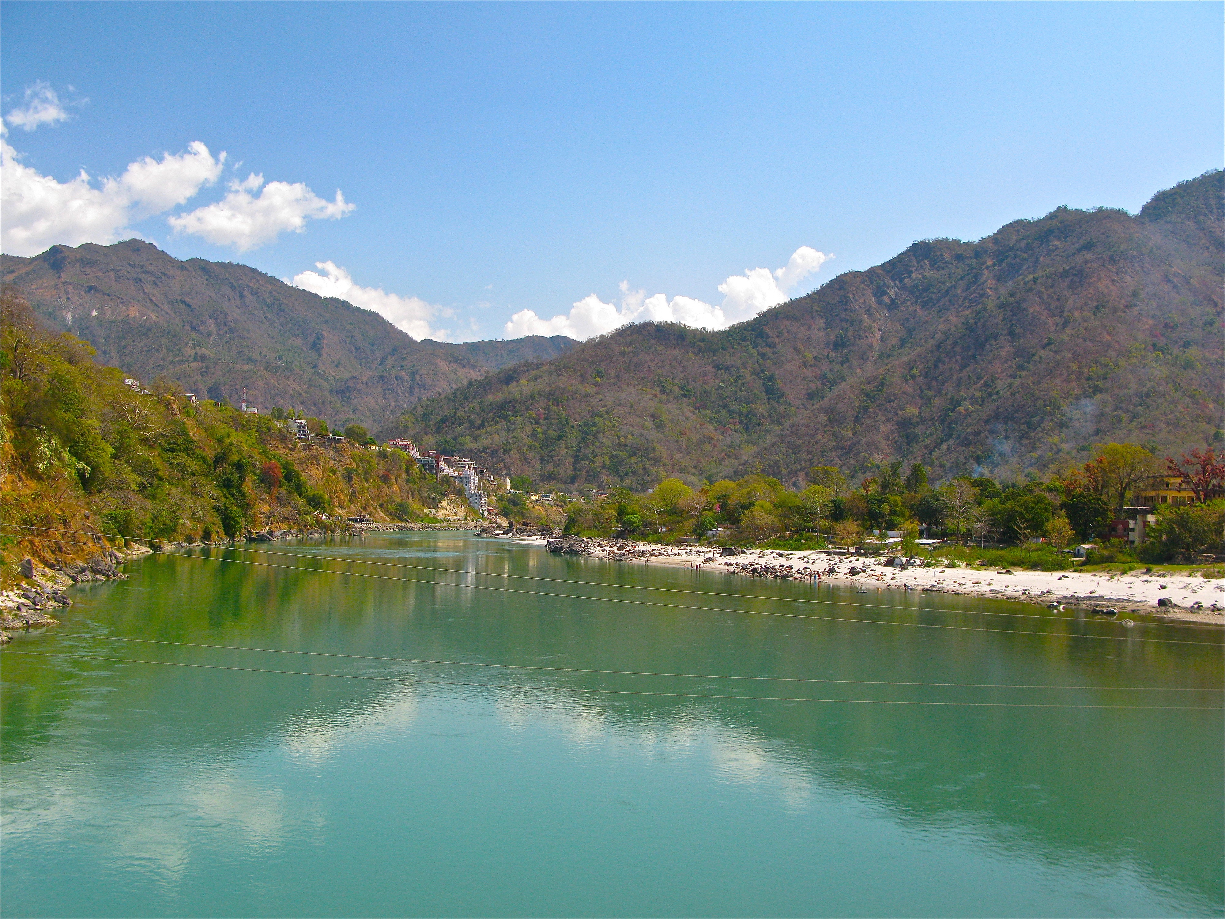
The Sivalik Hills, also known as the Shivalik Hills and Churia Hills, are a mountain range of the outer Himalayas that stretches over about 2,400 km (1,500 mi) from the Indus River eastwards close to the Brahmaputra River, spanning the northern parts of the Indian subcontinent. It is 10–50 km (6.2–31.1 mi) wide with an average elevation of 1,500–2,000 m (4,900–6,600 ft). Between the Teesta and Raidāk Rivers in Assam is a gap of about 90 km (56 mi).[1] "Sivalik" literally means 'tresses of Shiva'.[2] Sivalik region is home to the Soanian archaeological culture.[3]
Geology

Geologically, the Sivalik Hills belong to the Tertiary deposits of the outer Himalayas.[4] They are chiefly composed of sandstone and conglomerate rock formations, which are the solidified detritus of the Himalayas[4] to their north; they are poorly consolidated. The remnant magnetisation of siltstones and sandstones indicates that they were deposited 16–5.2 million years ago. In Nepal, the Karnali River exposes the oldest part of the Shivalik Hills.[5]
They are bounded on the south by a fault system called the Main Frontal Thrust, with steeper slopes on that side. Below this, the coarse alluvial Bhabar zone makes the transition to the nearly level plains. Rainfall, especially during the summer monsoon, percolates into the Bhabar, then is forced to the surface by finer alluvial layers below it in a zone of springs and marshes along the northern edge of the Terai or plains.[6]
Prehistory


Remains of the Lower Paleolithic Soanian culture dating to around 500,000 to 125,000 BP were found in the Sivalik region.[7] Contemporary to the Acheulean, the Soanian culture is named after the Soan Valley in the Sivalik Hills of Pakistan. The Soanian archaeological culture is found across Sivalik region in present-day India, Nepal and Pakistan.[3]
Sivapithecus (a kind of ape, formerly known as Ramapithecus) is among many fossil finds in the Sivalik region.[8]
A number of fossil ratites were reported from the Sivalik Hills, including the extinct Asian ostrich, Dromaius sivalensis and Hypselornis. However, the latter two species were named only from toe bones that have since been identified as belonging to an ungulate mammal and a crocodilian, respectively.[9]
Demographics
The low human population density in the Sivalik Hills and along the steep southern slopes of the Lower Himalayan Range created a cultural, linguistic, and political buffer zone between populations in the plains to the south and the hills beyond the Mahabharat escarpment, enabling different evolutionary paths with respect to language and culture.[citation needed]
In culture
The Indian Navy's Shivalik-class frigate is named after these ranges.[citation needed]
See also
- Subranges of Sivalik (from north to south)
- Dundwa Range
- Margalla Hills
- Shivalik Fossil Park
- Geological subdivisions of Himalayas (from north to south)
- Indus-Yarlung suture zone
- Karakoram fault system
- Nyenchen Tanglha Mountains
- Main Himalayan Thrust
- Lower/Lesser Himalaya
- Geographical subdivisions of Himalayas (from east to west)
- Eastern Himalaya
- Indian Himalayan Region, Geology of Bhutan and Geology of Nepal
- Jammu and Kashmir (union territory), Geography of Ladakh, Gilgit-Baltistan and Geology of Pakistan
References
- Kohli, M. S. (2002). "Shivalik Range". Mountains of India: Tourism, Adventure and Pilgrimage. Indus Publishing. pp. 24–25. ISBN 978-81-7387-135-1.
- Balokhra, J. M. (1999). The Wonderland of Himachal Pradesh (Revised and enlarged fourth ed.). New Delhi: H. G. Publications. ISBN 9788184659757.
- Chauhan, P. (2016). "A decade of paleoanthropology in the Indian Subcontinent. The Soanian industry reassessed". In Schug, G. R.; Walimbe, S. R. (eds.). A Companion to South Asia in the Past. Oxford, Chichester: John Wiley & Sons. p. 39. ISBN 978-1-119-05547-1.
- Chisholm, Hugh, ed. (1911). . Encyclopædia Britannica. Vol. 25 (11th ed.). Cambridge University Press. pp. 163–164.
- Gautam, P., Fujiwara, Y. (2000). "Magnetic polarity stratigraphy of Siwalik Group sediments of Karnali River section in western Nepal". Geophysical Journal International. 142 (3): 812–824. Bibcode:2000GeoJI.142..812G. doi:10.1046/j.1365-246x.2000.00185.x.
{{cite journal}}: CS1 maint: uses authors parameter (link) - Mani, M.S. (2012). Ecology and Biogeography in India. Springer Science & Business Media. p. 690.
- Lycett, S. J. (2007). "Is the Soanian techno-complex a Mode 1 or Mode 3 phenomenon? A morphometric assessment". Journal of Archaeological Science. 34 (9): 1434–1440. doi:10.1016/j.jas.2006.11.001.
- Kelley, Jay (1 May 1988). "A new large species of Sivapithecus from the Siwaliks of Pakistan". Journal of Human Evolution. 17 (3): 305–324. doi:10.1016/0047-2484(88)90073-5. ISSN 0047-2484. Retrieved 9 May 2022.
- Lowe, P. R. (1929). "Some remarks on Hypselornis sivalensis Lydekker". Ibis. 71 (4): 571–576. doi:10.1111/j.1474-919X.1929.tb08775.x.
Authority control | |
|---|---|
| General |
|
| National libraries | |
| Government |
| ||||||||||||||||
|---|---|---|---|---|---|---|---|---|---|---|---|---|---|---|---|---|---|
| History |
| ||||||||||||||||
| Geography and Ecology |
| ||||||||||||||||
| Demographics |
| ||||||||||||||||
| Administrative divisions |
| ||||||||||||||||
| Politics |
| ||||||||||||||||
| Tourism |
| ||||||||||||||||
| Sports |
| ||||||||||||||||
| Other topics |
| ||||||||||||||||
| Districts |
| ||||||||||||||||
| Major cities | |||||||||||||||||
На других языках
[de] Siwaliks
Die Siwaliks sind die äußerste Vorgebirgskette des südlichen Himalayas.- [en] Sivalik Hills
[fr] Siwalik
Le Siwalik, Sivalik ou Shiwalik (parfois surnommé « l'Himalaya externe »), ou la chaîne des Siwaliks[1],[2] est une cordillère du Nord de l'Inde, du Sud du Népal et du Nord-Est du Pakistan.[it] Shivalik
Shivalik (sanscrito: शिवालिक - Śivālika), scritto talvolta come Siwalik o Shiwalik Hills o Churia, Chure Hills o Himalaya Esterno è una catena montuosa sub-himalayana. Del sistema himalayano costituisce la catena più a sud e più recente geologicamente. Si estende per circa 1600 km ad ovest del fiume Tista in Sikkim attraversando Nepal, India ed Pakistan settentrionale. Queste montagne corrono parallele rispetto al vicino Himalaya e, nonostante la lunghezza, presentano una larghezza di soli 16 km. L'altitudine media è compresa tra i 900 e i 1200 metri.[ru] Сивалик
Си́ва́лик[2][3] (хинди शिवालिक, буквально — Принадлежащее Шиве), Предгимала́и — горная цепь, южнейшая, самая геологически молодая и самая низкая ступень Гималаев. Название происходит от выражения на языках хинди и непальском 'шивалик парват' शिवालिक पर्वत. Другие названия — холмы Чуриа (непальск. चुरिया पर्वत), холмы Чур (непальск. चूरे पर्वत) и холмы Маргалла.Другой контент может иметь иную лицензию. Перед использованием материалов сайта WikiSort.org внимательно изучите правила лицензирования конкретных элементов наполнения сайта.
WikiSort.org - проект по пересортировке и дополнению контента Википедии