geo.wikisort.org - Mountains
Mount Baldy is a mountain located in the Kananaskis River valley alongside Highway 40 in the Canadian Rockies.
| Mount Baldy | |
|---|---|
 Mount Baldy from over Barrier Lake | |
| Highest point | |
| Elevation | 2,192 m (7,192 ft)[1] |
| Prominence | 348 m (1,142 ft)[2] |
| Coordinates | 51°00′42″N 115°02′54″W[2] |
| Geography | |
Mount Baldy Location in Alberta | |
| Location | Alberta, Canada |
| Parent range | Fisher Range |
| Topo map | NTS 82O3 Canmore |
| Climbing | |
| Easiest route | Easy scramble to North peak moderate to others. |
During World War II, prisoners in a nearby internment camp were occasionally permitted to make the ascent of Mt. Baldy as long as they promised to return.[1] A University of Calgary research centre now occupies the former location of the camp.[2][3]
Up until 1984, when it was given its current day official name, it was commonly referred to as Barrier Mountain, due to its proximity to Barrier Lake.
Photos
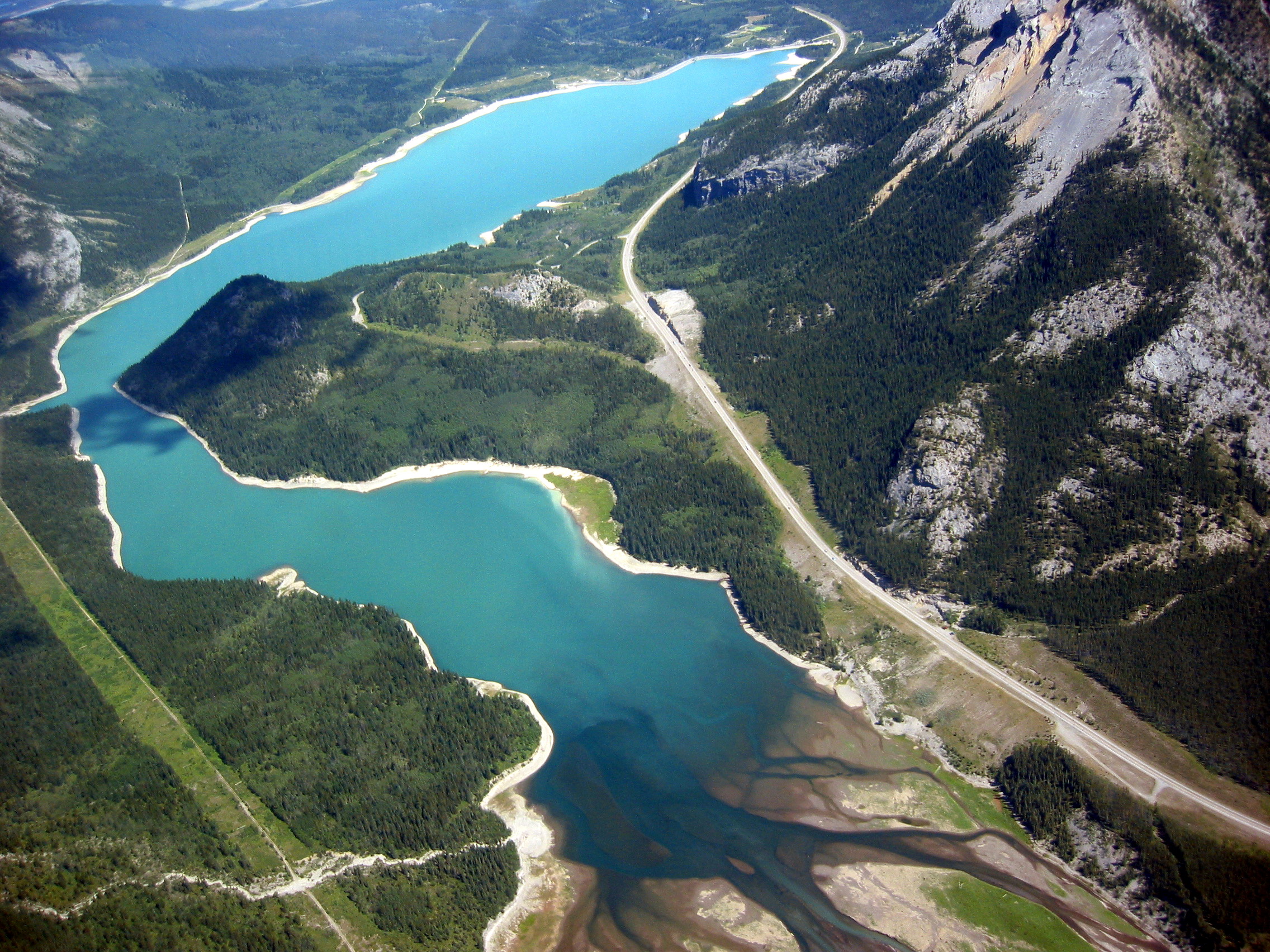
 South and west peaks from the summit of the north peak
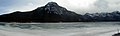 View from Barrier Lake
 Towering over Barrier Lake

References
- "Mount Baldy". PeakFinder.com. Retrieved 2019-08-20.
- "Mount Baldy". Bivouac.com. Retrieved 2008-12-25.
- "Field Station Facilities". Biogeoscience Institute. University of Calgary. Retrieved 2008-12-25.
External links
Wikimedia Commons has media related to Mount Baldy (Alberta).
- "Mount Baldy". Peakware.com. Archived from the original on 2016-03-04.
- Mount Baldy scramble description
This Alberta location article is a stub. You can help Wikipedia by expanding it. |
Текст в блоке "Читать" взят с сайта "Википедия" и доступен по лицензии Creative Commons Attribution-ShareAlike; в отдельных случаях могут действовать дополнительные условия.
Другой контент может иметь иную лицензию. Перед использованием материалов сайта WikiSort.org внимательно изучите правила лицензирования конкретных элементов наполнения сайта.
Другой контент может иметь иную лицензию. Перед использованием материалов сайта WikiSort.org внимательно изучите правила лицензирования конкретных элементов наполнения сайта.
2019-2026
WikiSort.org - проект по пересортировке и дополнению контента Википедии
WikiSort.org - проект по пересортировке и дополнению контента Википедии