geo.wikisort.org - Mountains
The Bernese Alps in the wide meaning (in German Berner Alpen i.w.S.,[2] in French Alpes Bernoises D.l.s.l.[3]) are a mountain range in the northwestern part of the Alps. They are located in Switzerland.
| Bernese Alps in the wide meaning | |
|---|---|
| German: Berner Alpen i.w.S. French: Alpes Bernoises d.l.s.l. | |
 Aerial view on the Finsteraarhorn (4275m) | |
| Highest point | |
| Peak | Finsteraarhorn[1] |
| Elevation | 4,274 m (14,022 ft) |
| Coordinates | 46°21′15″N 8°07′34″E |
| Geography | |
 Bernese Alps i.w.s. (section nr. 12) within the Western Alps
| |
| Country | Switzerland |
| Cantons | Bern, Vaud, Valais, Lucerne, Uri, Nidwalden and Obwalden |
| Parent range | Alps |
| Borders on | Lepontine Alps, Pennine Alps, Graian Alps, Savoy Prealps, Swiss Prealps and Glarus Alps i.t.w.m. |
| Geology | |
| Orogeny | Alpine orogeny |
Geography
The range concerns several Swiss cantons: Bern, Vaud, Valais, Lucerne, Uri, Nidwalden and Obwalden.
SOIUSA classification
According to SOIUSA (International Standardized Mountain Subdivision of the Alps) the range is an Alpine section, classified in the following way:[4]
- main part = Western Alps
- major sector = North Western Alps
- section = Bernese Alps i.t.w.m.
- code = I/B-12
Subdivision
The range is divided into three subsections:
- Urner Alps (in German Urner Alpen) - SOIUSA code:I/B-12.I;
- Bernese Alps s.s.[5] (in German Berner Alpen i.e.S.[6]) - SOIUSA code:I/B-12.II;
- Vaud Alps - SOIUSA code:I/B-12.III.
Notable summits

Some notable summits of the range are:
| Name | elevation (m) | Alpine subsection |
|---|---|---|
| Finsteraarhorn | 4,274 | Bernese Alps s.s. |
| Aletschhorn | 4,193 | Bernese Alps s.s. |
| Jungfrau | 4,158 | Bernese Alps s.s. |
| Mönch | 4,105 | Bernese Alps s.s. |
| Schreckhorn | 4,080 | Bernese Alps s.s. |
| Fiescherhorn | 4,049 | Bernese Alps s.s. |
| Grünhorn | 4,043 | Bernese Alps s.s. |
| Lauteraarhorn | 4,042 | Bernese Alps s.s. |
| Gletscherhorn | 3,983 | Bernese Alps s.s. |
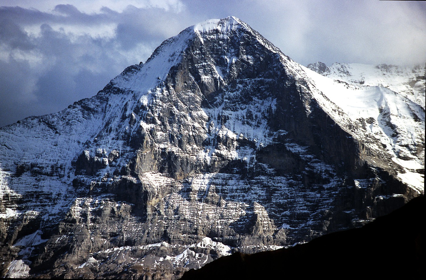
| Eiger | 3,967 | Bernese Alps s.s. |
| Äbeni Flue | 3,962 | Bernese Alps s.s. |
| Fiescher Gabelhorn | 3,876 | Bernese Alps s.s. |
| Doldenhorn | 3,643 | Bernese Alps s.s. |
| Dammastock | 3,630 | Urner Alps |
| Galenstock | 3,583 | Urner Alps |
| Sustenhorn | 3,503 | Urner Alps |
| Titlis | 3,238 | Urner Alps |
| Les Diablerets | 3,210 | Vaud Alps |
| Grand Muveran | 3,051 | Vaud Alps |
| Lohner | 3,048 | Bernese Alps s.s. |
| Wendenstöcke | 3,042 | Urner Alps |
| Sparrhorn | 3,021 | Bernese Alps s.s. |
| Torrenthorn | 2,998 | Bernese Alps s.s. |
| Dent de Morcles | 2,980 | Vaud Alps |
| Eggishorn | 2,934 | Bernese Alps s.s. |
Notable passes
Some notable mountain passes of the range are:
| Mountain pass | location | type | elevation | |
|---|---|---|---|---|
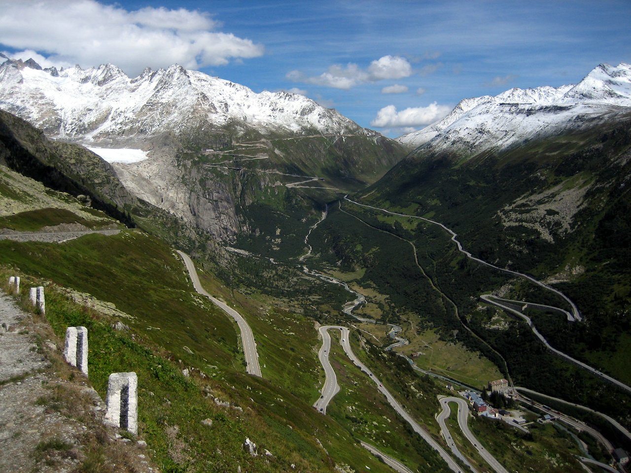
| Furka Pass | Rhône Glacier to Andermatt | road | 2436 m | 7992 ft |
| Gemmi Pass | Kandersteg to Leukerbad | bridle path | 2329 m | 7641 ft |
| Mönchjoch | Grindelwald to the Eggishorn | snow | 3560 m | 11,680 ft |
| Jungfraujoch | Wengernalp to the Eggishorn | snow | 3470 m | 11,385 ft |
| Grünhornlücke | Great Aletsch Glacier to the Fiescher Glacier | snow | 3305 m | 10,844 ft |
| Grimsel Pass | Meiringen to the Rhone Glacier | road | 2164 m | 7100 ft |
| Kleine Scheidegg | Grindelwald to Lauterbrunnen | path, railway | 2064 m | 6772 ft |
| Col de Cheville | Sion to Bex | bridle path | 2049 m | 6723 ft |
| Grosse Scheidegg | Grindelwald to Meiringen | road (restricted to bus traffic) | 1967 m | 6454 ft |
| Brünig Pass | Meiringen to Lucerne | road, railway | 1035 m | 3396 ft |
| Petersgrat | Lauterbrunnen to the Lötschental | snow | 3205 m | 10,516 ft |
| Lötschenlücke | Lötschental to the Eggishorn | snow | 3204 m | 10,512 ft |
| Susten Pass | Meiringen to Wassen | road | 2262 m | 7422 ft |
| Sanetsch Pass | Sion to Saanen | bridle path | 2234 m | 7331 ft |
References
- Highest summit elevation as reported on map.geo.admin.ch of Swiss Federal Office of Topography
- I.w.S. = in weitesten Sinne - in English: in the wide meaning
- d.l.s.l. = dans le sens large - in English: in the wide sense
- Marazzi, Sergio (2005). Atlante Orografico delle Alpi. SOIUSA (in Italian). Priuli & Verlucca. p. 145. ISBN 978-88-8068-273-8.
- s.s. = stricto sensu
- I.e.S. = in eigentlichen Sinne - in English: in the narrow meaning
Maps
- Swiss official cartography (Swiss Federal Office of Topography - Swisstopo); on-line version: map.geo.admin.ch
| Western Alps |
| ||||||
|---|---|---|---|---|---|---|---|
| Eastern Alps |
| ||||||
На других языках
[de] Berner Alpen im weiteren Sinne (SOIUSA)
Die Berner Alpen im weiteren Sinne sind eine Gebirgsgruppe in den Westalpen. Sowohl in der SOIUSA-Gebirgsklassifikation als auch in der Partizione-delle-Alpi-Einteilung werden sie als Sektion 12 geführt.- [en] Bernese Alps in the wide meaning
Текст в блоке "Читать" взят с сайта "Википедия" и доступен по лицензии Creative Commons Attribution-ShareAlike; в отдельных случаях могут действовать дополнительные условия.
Другой контент может иметь иную лицензию. Перед использованием материалов сайта WikiSort.org внимательно изучите правила лицензирования конкретных элементов наполнения сайта.
Другой контент может иметь иную лицензию. Перед использованием материалов сайта WikiSort.org внимательно изучите правила лицензирования конкретных элементов наполнения сайта.
2019-2025
WikiSort.org - проект по пересортировке и дополнению контента Википедии
WikiSort.org - проект по пересортировке и дополнению контента Википедии