geo.wikisort.org - Mountains
The Cottian Alps (/ˈkɒtiən ˈælps/; French: Alpes Cottiennes [alp kɔtjɛn]; Italian: Alpi Cozie [ˈalpi ˈkɔttsje]) are a mountain range in the southwestern part of the Alps. They form the border between France (Hautes-Alpes and Savoie) and Italy (Piedmont). The Fréjus Road Tunnel and Fréjus Rail Tunnel between Modane and Susa are important transportation arteries between France (Lyon, Grenoble) and Italy (Turin).
| Cottian Alps | |
|---|---|
| French: Alpes Cottiennes; Italian: Alpi Cozie | |
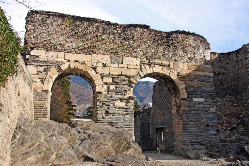
 Mont Cenis in the Cottian Alps, seen from the Rocciamelone | |
| Highest point | |
| Peak | Monte Viso |
| Elevation | 3,841 m (12,602 ft) |
| Coordinates | 44°40′18″N 7°15′13″E |
| Geography | |
 Location
| |
| Countries | Italy and France |
| Provinces and regions | Piedmont, Auvergne-Rhône-Alpes and Provence-Alpes-Côte d'Azur |
| Range coordinates | 44°45′N 7°0′E |
| Parent range | Alps |
| Borders on | Graian Alps, Dauphiné Alps, Provence Alps and Prealps, Maritime Alps and Po plain |
| Geology | |
| Orogeny | Alpine orogeny |
Etymology
The name Cottian comes from Marcus Julius Cottius, a king of the tribes inhabiting that mountainous region in the 1st century BC. Under his father Donnus, these tribes had previously opposed but later made peace with Julius Caesar. Cottius was succeeded by his son Gaius Julius Donnus II (reigned 3 BC-4 AD), and his grandson Marcus Julius Cottius II (reigned 5-63 AD), who was granted the title of king by the emperor Claudius. On his death, Nero annexed his kingdom as the province of Alpes Cottiae.[1]
History
For a long part of the Middle Ages the Cottian Alps were divided between the Duchy of Savoy, which controlled their northern part and the easternmost slopes, and the Dauphiné, which at the time was independent from France. The Dauphins also held, in addition to the southwestern slopes of the range (Briançon and Queyras, now on the French side), the upper part of some of the valleys that were tributaries of the Po River (Valle di Susa, Chisone valley, Varaita Valley). The Alpine territory of Dauphiné, known as Escartons, used to have a limited autonomy and elected its own parliament.[2] This semi-autonomous status lasted also after the annexation of the Dauphiné to France (1349), and was only abolished in 1713 due to the Treaty of Utrecht, which assigned to the House of Savoy all the mountainous area on the eastern side of the Cottian Alps.[3]
After the treaty annexing Nice and Savoy to France, signed in Turin in March 1860 (Treaty of Turin), the north-western slopes of the range became part of the French republic.[4]
Two eastern valleys of the Cottian Alps (Pellice and Germanasca) have been for centuries a kind of sanctuary for the Waldensians, a Christian movement that was persecuted as heretical from the 12th century onwards by the catholic church.[5]
Geography
Administratively the range is divided between the Italian province of Cuneo and the Metropolitan City of Turin (the eastern slopes), and the French departments of Savoie, Hautes-Alpes, and Alpes-de-Haute-Provence (the western slopes).
The Cottian Alps are drained by the rivers Durance and Arc and their tributaries on the French side; and by the Dora Riparia and other tributaries of the Po on the Italian side.
Borders
The borders of the Cottian Alps are (clockwise):
- the Maddalena Pass to the south, which connects the Cottian Alps with the Maritime Alps;
- the Ubayette Valley, the Ubaye Valley, the Serre-Ponçon Lake, the high Durance Valley, and the Guisane Valley to the southwest;
- the Col du Galibier to the west, which connects the Cottian Alps with the Dauphiné Alps;
- the Valloirette Valley, the Maurienne Valley, and the Chardoux Creek to the northwest;
- the Mont Cenis Pass to the north, which connects the Cottian Alps with the Graian Alps;
- Mont Cenis Lake, the Cenischia Valley, the Dora Riparia Valley, the Po Plain, and the Varaita Valley to the east.
Peaks

The chief peaks of the Cottian Alps are:
| name | metres | feet | name | metres | feet |
|---|---|---|---|---|---|
| Monte Viso | 3841 | 12,609 | Aiguille de Chambeyron | 3412 | 11,155 |
| Aiguille de Scolette | 3506 | 11,500 | Pics de la Font Sancte | 3387 | 11,112 |
| Brec de Chambeyron | 3388 | 11,116 | Dents d'Ambin | 3382 | 11,096 |
| Rognosa d'Etiache | 3385 | 11,106 | Visolotto | 3353 | 11,001 |
| Punta Ferrand | 3364 | 11,037 | Punta Sommeiller | 3333 | 10,935 |
| Bric de Rubren | 3340 | 10,958 | Bric Froid | 3302 | 10,833 |
| Pic de Rochebrune | 3320 | 10,891 | Rognosa di Sestriere | 3280 | 10,761 |
| Punta Merciantaira | 3293 | 10,804 | Roche du Grand Galibier | 3242 | 10,637 |
| Panestrel | 3253 | 10,673 | Rocca Bernauda | 3225 | 10,581 |
| Peou Roc | 3231 | 10,601 | Pointe Haute de Mary | 3212 | 10,539 |
| Grand Galibier | 3228 | 10,590 | Pic du Thabor | 3207 | 10,522 |
| Pic du Pelvat | 3218 | 10,558 | Mont Thabor | 3180 | 10,440 |
| Pain de Sucre | 3208 | 10,526 | Tete des Toillies | 3179 | 10,430 |
| Pointe des Cerces | 3180 | 10,434 | Monte Platasse | 3149 | 10,331 |
| Monte Granero | 3170 | 10,401 | Tête de Moïse | 3110 | 10,204 |
| Rocce del Rouit | 3145 | 10,318 | Punta Bagnà | 3129 | 10,266 |
| Mont Chaberton | 3130 | 10,286 | Pelvo d'Elva | 3064 | 10,053 |
| Monte Meidassa | 3105 | 10,187 | Rocca Bianca | 3059 | 10,307 |
| Grand Queyron | 3060 | 10,040 | Bric Ghinivert | 3037 | 9,963 |
| Monte Albergian | 3041 | 9,977 | Monte Politri | 3026 | 9,928 |
| Monte Barifreddo | 3028 | 9,933 | Viso Mozzo | 3019 | 9,905 |
| Pic Caramantran | 3025 | 9,925 | Pointe du Fréjus | 2934 | 9,626 |
| Bric Bouchet | 2998 | 9,836 | Pic du Malrif | 2906 | 9,535 |
| Monte Orsiera | 2890 | 9,479 | Cima Ciantiplagna | 2849 | 9,347 |
| Punta Cornour | 2868 | 9,259 | Mont Froid | 2822 | 9,410 |
| Pointe de Bellecombe | 2775 | 9,104 | Monte Friolànd | 2738 | 8,981 |
| L'Aiguille Rouge | 2545 | 8,350 | Gran Truc | 2366 | 7,762 |
| Pic de Morgon | 2324 | 7,625 | Monte Birrone | 2131 | 6,991 |
| Monte Ricordone | 1764 | 5,787 | Monte Freidour | 1445 | 4,741 |
Passes

The chief passes of the Cottian Alps are:
| name | location | type (as of 1911[update]) |
elevation (m/ft) |
|---|---|---|---|
| Col Sommeiller | Bardonecchia to Bramans | snow | 2993/9820 |
| Col de la Traversette | Crissolo to Abriès | bridle path | 2950/9679 |
| Col d'Ambin | Exilles to Bramans | snow | 2899/9511 |
| Col de Saint-Véran | Valle Varaita to the Queyras Valley | footpath | 2844/9331 |
| Col du Parpaillon | Ubaye Valley to the Queyras Valley | footpath | 2780/9121 |
| Col d'Étache | Bardonecchia to Bramans | bridle path | 2799/9183 |
| Col Agnel | Valle Varaita to the Queyras Valley | road | 2744/9003 |
| Col Girardin | Ubaye Valley to the Queyras Valley | bridle path | 2699/8855 |
| Col de Sautron | Valle Maira to Barcelonnette | bridle path | 2689/8823 |
| Col de Longet | Ubaye Valley to Valle Varaita | bridle path | 2672/8767 |
| Col de Mary | Ubaye Valley to Valle Maira | bridle path | 2654/8708 |
| Col d'Abriès | Perosa to Abriès | bridle path | 2650/8695 |
| Col du Fréjus | Bardonecchia to Modane | dirt road | 2542/8340 |
| Colle della Rho /Col de la Roue | Bardonecchia to Modane | dirt road/briddle path | 2541/8338 |
| Col de Clapier | Bramans to Susa | bridle path | 2477/8127 |
| Col de la Vallée Étroite | Bardonecchia to Modane | footpath | 2434/7985 |
| Col d'Izoard | Briançon to the Queyras Valley | road | 2388/7835 |
| Col de la Croix /Colle della Croce | Torre Pellice to Abriès | bridle path | 2299/7541 |
| Petit Mont Cenis | Bramans to the Mont Cenis Plateau | bridle path | 2184/7166 |
| Col de Vars | Ubaye Valley to the Queyras Valley | road | 2115/6939 |
| Mont Cenis | Lanslebourg to Susa | road | 2085/6840 |
| Colle Sestriere | Pinerolo to Cesana Torinese | road | 2021/6631 |
| Col de Larche /Maddalena Pass | Ubaye Valley to the Stura Valley | road | 1991/6532 |
| Col de Montgenèvre | Briançon to Susa | road | 1854/6083 |
| Col de l'Échelle | Briançon to Bardonecchia | road | 1760/5774 |
See also
- Alpes Cottiae (the original Roman province)
- Cottii Regnum
- Cottius
- Donnus
- Ambin group
Maps
- Italian official cartography (Istituto Geografico Militare – IGM); on-line version: www.pcn.minambiente.it
- French official cartography (Institut Géographique National – IGN); on-line version: www.geoportail.fr
References
- Chisholm, Hugh, ed. (1911). . Encyclopædia Britannica. Vol. 1 (11th ed.). Cambridge University Press. pp. 737–754. Statistics on the Cottian Alps are listed in tables on pages 741 and 742.
- Bibliotheca classica or A classical dictionary, John Lemprière, G. and C. Carvill, 1831; pag. 414
- Escartons, hommes libres, www.escartons.eu (accessed on 2012-04-05)
- Joseph Visconti (2003). The Waldensian Way to God. Xulon Press.
- "Traité de Turin, Signé à Turin le 24 mars 1860 entre la France et la Sardaigne". mjp.univ-perp.fr. Retrieved 2010-01-01.
- Mennonite Encyclopedia, Vol. 4, pp. 874–876
Authority control | |
|---|---|
| General |
|
| National libraries | |
На других языках
[de] Cottische Alpen
Die Cottischen Alpen (Kottische Alpen, frz. Alpes cottiennes, ital. Alpi Cozie) sind eine Gebirgsgruppe der Westalpen im Grenzgebiet zwischen Italien und Frankreich (siehe auch Okzitanien).- [en] Cottian Alps
[es] Alpes cocios
Los Alpes cocios (en francés: Alpes Cottiennes; en italiano: Alpi Cozie) son una sección del gran sector Alpes del sudoeste, según la clasificación SOIUSA. Su pico más alto es Monviso, con 3841 m s. n. m.. Se encuentra a lo largo de la cadena principal de los Alpes, en la frontera entre Francia (Saboya) e Italia (Piamonte). El Paso Maddalena los separa de los Alpes marítimos; el Col du Mont Cenis los separa de los Alpes grayos y el Col du Galibier de los Alpes del Delfinado. El túnel por carretera de Fréjus y el túnel de ferrocarril de Fréjus, que atreviesan estos montes, son los pasos más importantes entre Lyon y Turín. Irrigan estos montes los ríos Durance y Arc por el lado francés y el Dora Riparia y el Po por el lado italiano.[fr] Alpes cottiennes
Les Alpes cottiennes désignent à la fois un massif des Alpes (Alpi Cozie) et une ancienne province romaine (Alpes Cottiæ). La traduction française ne permet pas de faire la distinction entre les deux, mais l'on trouve parfois l'appellation d'origine Cozie pour désigner le massif.[it] Alpi Cozie
Le Alpi Cozie sono una sezione[1] della catena alpina che interessano l'Italia e la Francia.[ru] Котские Альпы
Ко́тские А́льпы (фр. Alpes Cottiennes, итал. Alpi Cozie) — горы, часть Западных Альп на территории Франции и Италии.Другой контент может иметь иную лицензию. Перед использованием материалов сайта WikiSort.org внимательно изучите правила лицензирования конкретных элементов наполнения сайта.
WikiSort.org - проект по пересортировке и дополнению контента Википедии