geo.wikisort.org - Mountains
Rocciamelone (Piedmontese: Ròcia-mlon, French: Rochemelon or Roche Melon) is a 3,538 m high mountain in Piedmont, Italy, near the border between Italy and France.
| Rocciamelone | |
|---|---|
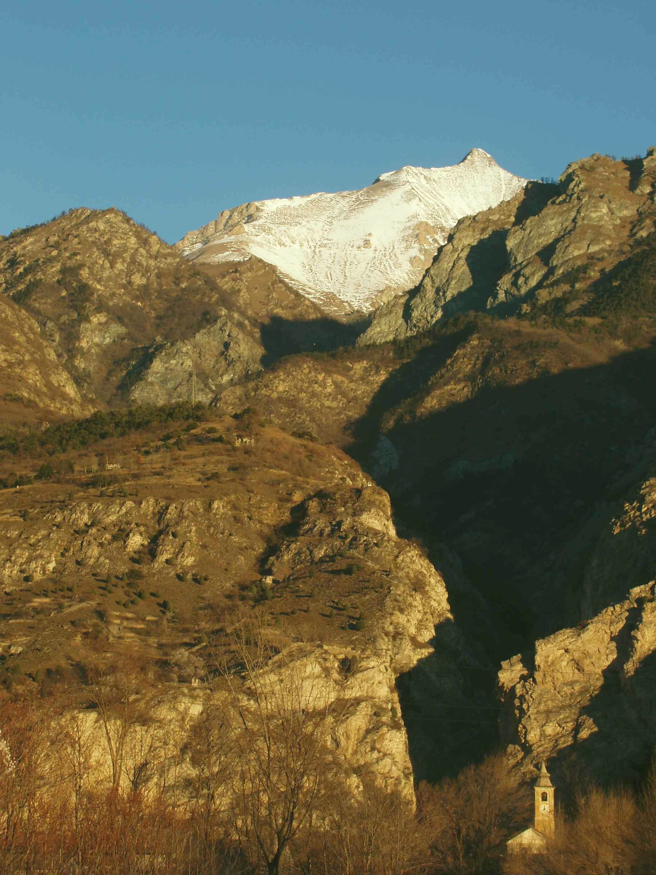
 View from Rocca Sella, Italy (1,508 m) | |
| Highest point | |
| Elevation | 3,538 m (11,608 ft)[1] |
| Prominence | 303 m (994 ft)[1] |
| Parent peak | Ouille Mouta (3,565 m)[2] |
| Isolation | 7.74 km (4.81 mi) |
| Listing | Alpine mountains above 3000 m |
| Coordinates | 45°12′14″N 7°4′38″E |
| Geography | |
 Rocciamelone Location in the Alps | |
| Location | Piedmont, Italy |
| Parent range | Graian Alps |
| Climbing | |
| First ascent | 1358 by Bonifacius Rotarius |
| Easiest route | Scramble, partly roped path |
Geography

Rocciamelone is located between Val di Susa and Maurienne, 50 km west of Turin.
Its summit is the tripoint where the comunes of Usseglio, Novalesa and Mompantero meet. The international border crosses the Glacier de Rochemelon 1 kilometer north of the summit, making it appear that the border is not following the watershed precisely in this sector. However, the glacier is draped over a ridge that is the true watershed and is precisely followed by the borderline.
SOIUSA classification
According to the SOIUSA (International Standardized Mountain Subdivision of the Alps) the mountain can be classified in the following way:[3]
- main part = Western Alps
- major sector = North Western Alps
- section = Graian Alps
- subsection = Southern Graian Alps
- supergroup = catena Rocciamelone-Charbonnel
- group = gruppo del Rocciamelone
- subgroup = nodo del Rocciamelone
- code = I/B-7.I-A.2.a
History
The teutonic knight Bonifacius Rotarius (of Asti) made the first ascent of Rocciamelone on 1 September 1358, to bring a small metal image of the Holy Virgin as a gesture of gratitude for having survived captivity in the Holy Land during a war against the Muslims. [4]
The summit of Rocciamelone is the destination of a traditional pilgrimage, every year, on August 5. A three-metre-high (9.8 ft) statue of the Blessed Virgin Mary was erected there in 1899.
Access to the summit
Because of its easy access (the start of the summit trail can be reached in a 90-minute drive from Turin), its considerable height and the panorama, this mountain is one of the most frequented of the western part of the Alps.
Mountain huts
- Rifugio Cà d'Asti (2,854 m - Mompantero)
- Rifugio Ernesto Tazzetti (2,642 - Usseglio)
- Rifugio Santa Maria (close to the summit)
Notes
- Géoportail IGN on www.geoportail.fr
- key col= Col de la Resta (3,235 m)
- Marazzi, Sergio (2005). Atlante Orografico delle Alpi. SOIUSA (in Italian). Priuli & Verlucca. p. 134. ISBN 978-88-8068-273-8.
- "L'alpinismo? È nato sul Rocciamelone". La Stampa (in Italian). 30 July 2008. Archived from the original on 16 September 2008.
Maps
- Istituto Geografico Militare (IGM) official maps of Italy, 1:25.000 and 1:100.000 scale, on-line version
- Istituto Geografico Centrale (IGC) - Carta dei sentieri e dei rifugi scala 1:50.000 n. 2 Valli di Lanzo e Moncenisio
- Istituto Geografico Centrale - Carta dei sentieri e dei rifugi scala 1:25.000 n.110 Alte Valli di Lanzo (Rocciamelone - Uja di Ciamarella - Le Levanne)
External links
![]() Media related to Rocciamelone at Wikimedia Commons
Media related to Rocciamelone at Wikimedia Commons
| Authority control |
|
|---|
На других языках
[de] Rocciamelone
Der Rocciamelone (piemontesisch Rociamlon, französisch Rochemelon) liegt am Südrand der Grajischen Alpen und überragt die Stadt Susa um etwa 3000 Meter. Dadurch galt er lange Zeit als höchster Berg der Alpen.- [en] Rocciamelone
[fr] Rochemelon
Rochemelon (ou Roche Melon, italien : Rocciamelone) est un sommet des Alpes italiennes (3 537 ou 3 538 mètres) situé dans la ville métropolitaine de Turin en Piémont, non loin de la frontière française, dans le massif des Alpes grées.[it] Rocciamelone
Il Rocciamelone (Rociamlon [rʊʧam'lʊŋ] in piemontese, Rochemelon in francese) è una montagna delle Alpi Graie della Catena Rocciamelone-Charbonnel, alta 3.538 m s.l.m., situata in Piemonte, al confine tra la Valle di Susa e la Valle di Viù, sulla cui vetta convergono i territori comunali di Mompantero, Novalesa e Usseglio.[ru] Роччамелоне
Роччамелоне (итал. Rocciamelone, фр. Rochemelon) — гора в Альпах, высота вершины 3538 метров над уровнем моря.Другой контент может иметь иную лицензию. Перед использованием материалов сайта WikiSort.org внимательно изучите правила лицензирования конкретных элементов наполнения сайта.
WikiSort.org - проект по пересортировке и дополнению контента Википедии