geo.wikisort.org - Mountains
The Barail Range is a tertiary mountain range in Northeast India with an area of approximately 80,000 ha between Brahmaputra and Barak basins stretching from Nagaland & Manipur to the east and Assam & Meghalaya to the west.[1][2]
| Barail Range | |
|---|---|
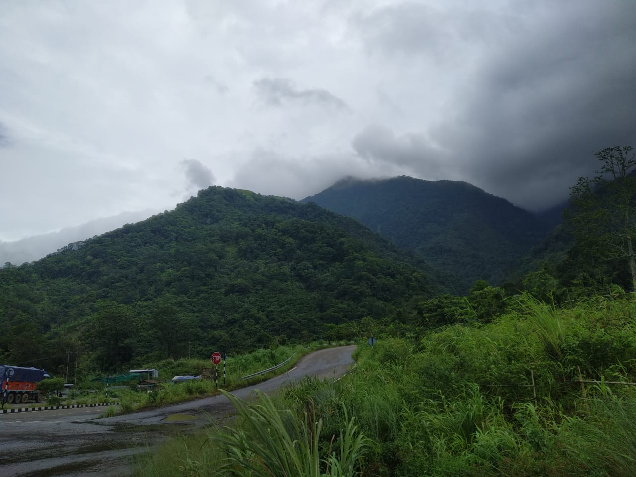 The Assam section of the Barail Range | |
| Highest point | |
| Peak | Mount Japfü, Mount Tempü, Laike, Theipibung, Hamplopet, Hemeolowa, Mahadeo, Kaukaha |
| Elevation | elevation of Mount Japfü is approx. 3048 metres from sea level |
| Coordinates | 25°16′27″N 93°20′51″E |
| Dimensions | |
| Length | 720 km (450 mi) |
| Geography | |
| Country | India |
| States | Assam, Meghalaya, Manipur and Nagaland |
| Region | Northeast India |
| Rivers | Barak, Brahmaputra and Kopili |
| Settlements | Dima Hasao, Kohima, Shillong, Diphu and Silchar |
| Range coordinates | 25°00′N 73°30′E |
| Geology | |
| Orogeny | Himalayan Orogeny |
| Type of rock | Sandstone |
References
- "BirdLife Data Zone". datazone.birdlife.org. Retrieved 9 January 2021.
- saikia, partha; protim. "Barail Range of Assam | Mountain of Assam". NORTH EAST INDIA IN DETAILS. Retrieved 9 January 2021.
This Asia mountain, mountain range, or peak related article is a stub. You can help Wikipedia by expanding it. |
Текст в блоке "Читать" взят с сайта "Википедия" и доступен по лицензии Creative Commons Attribution-ShareAlike; в отдельных случаях могут действовать дополнительные условия.
Другой контент может иметь иную лицензию. Перед использованием материалов сайта WikiSort.org внимательно изучите правила лицензирования конкретных элементов наполнения сайта.
Другой контент может иметь иную лицензию. Перед использованием материалов сайта WikiSort.org внимательно изучите правила лицензирования конкретных элементов наполнения сайта.
2019-2026
WikiSort.org - проект по пересортировке и дополнению контента Википедии
WikiSort.org - проект по пересортировке и дополнению контента Википедии