geo.wikisort.org - Mountains
Abraham Mountain is a 2,820-metre (9,250-foot) mountain summit located in the North Saskatchewan River valley of the Canadian Rockies of Alberta, Canada. Its nearest higher peak is Allstones Peak, 2.0 km (1.2 mi) to the west.[1] Abraham Mountain can be seen from David Thompson Highway and Abraham Lake. Precipitation runoff from Abraham Mountain drains east into Abraham Lake.
| Abraham Mountain | |
|---|---|
 Abraham Mountain | |
| Highest point | |
| Elevation | 2,820 m (9,250 ft)[1] |
| Prominence | 160 m (520 ft)[1] |
| Parent peak | Allstones Peak (2940 m)[1] |
| Listing | Mountains of Alberta |
| Coordinates | 52°16′04″N 116°27′53″W[1] |
| Geography | |
Abraham Mountain Location of Abraham Mountain in Alberta  Abraham Mountain Abraham Mountain (Canada) | |
| Location | Alberta, Canada |
| Parent range | Front Range Canadian Rockies |
| Topo map | NTS 83C8 Nordegg |
| Geology | |
| Type of rock | Sedimentary |
History
Like the lake, the mountain was named for Silas Abraham (1871–1961), a Stoney Indian inhabitant of the Kootenay Plains and Saskatchewan River valley, who was employed by Mary Schäffer as her guide during her 1906 and 1907 explorations.[2] He also guided Martin Nordegg.[3]
Geology
Abraham Mountain is composed of sedimentary rock laid down from the Precambrian to Jurassic periods that was pushed east and over the top of younger rock during the Laramide orogeny.[4]
Climate
Based on the Köppen climate classification, Abraham Mountain is located in a subarctic climate zone with cold, snowy winters, and mild summers.[5] Temperatures can drop below −20 °C with wind chill factors below −30 °C.
See also
- Geology of the Rocky Mountains
- Geography of Alberta
References
- "Abraham Mountain". Bivouac.com. Retrieved 2019-02-26.
- The David Thompson Highway Hiking Guide – 2nd Edition by Jane Ross, Daniel Kyba. Rocky Mountain Books, 2016. page 167
- "Abraham Mountain". PeakFinder.com. Retrieved 2020-06-03.
- Gadd, Ben (2019). "Geology of the Rocky Mountains and Columbias" (PDF). bengadd.com. Archived (PDF) from the original on 2020-09-27.
- Peel, M. C.; Finlayson, B. L.; McMahon, T. A. (2007). "Updated world map of the Köppen−Geiger climate classification". Hydrol. Earth Syst. Sci. 11: 1633–1644. ISSN 1027-5606.
Gallery
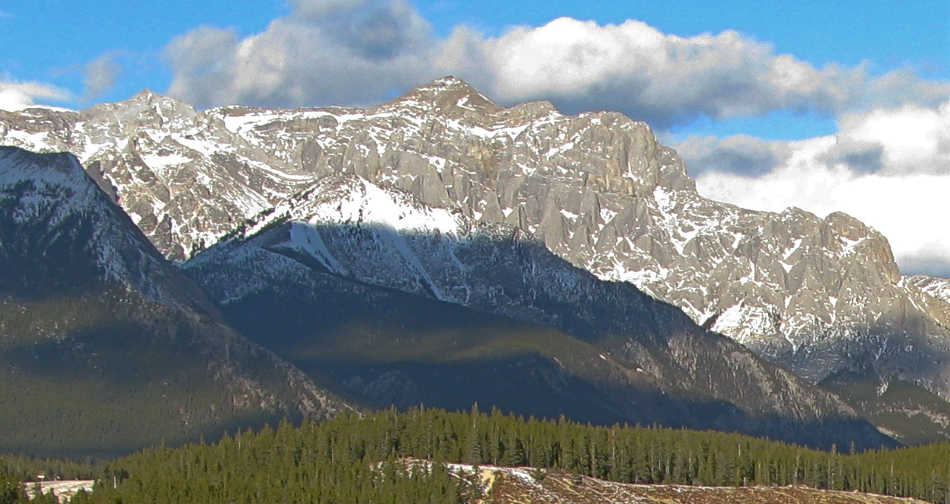
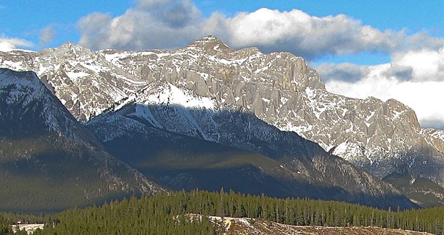 Abraham Mountain seen from mouth of Cline River
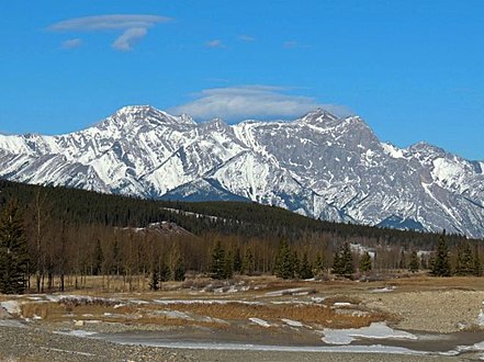 Allstones Peak (left) and Abraham Mountain (right)

Другой контент может иметь иную лицензию. Перед использованием материалов сайта WikiSort.org внимательно изучите правила лицензирования конкретных элементов наполнения сайта.
WikiSort.org - проект по пересортировке и дополнению контента Википедии