geo.wikisort.org - River
The West Lyn is a river in England which rises high in Exmoor, Somerset, and joins the East Lyn at Lynmouth in Devon.
| West Lyn River | |
|---|---|
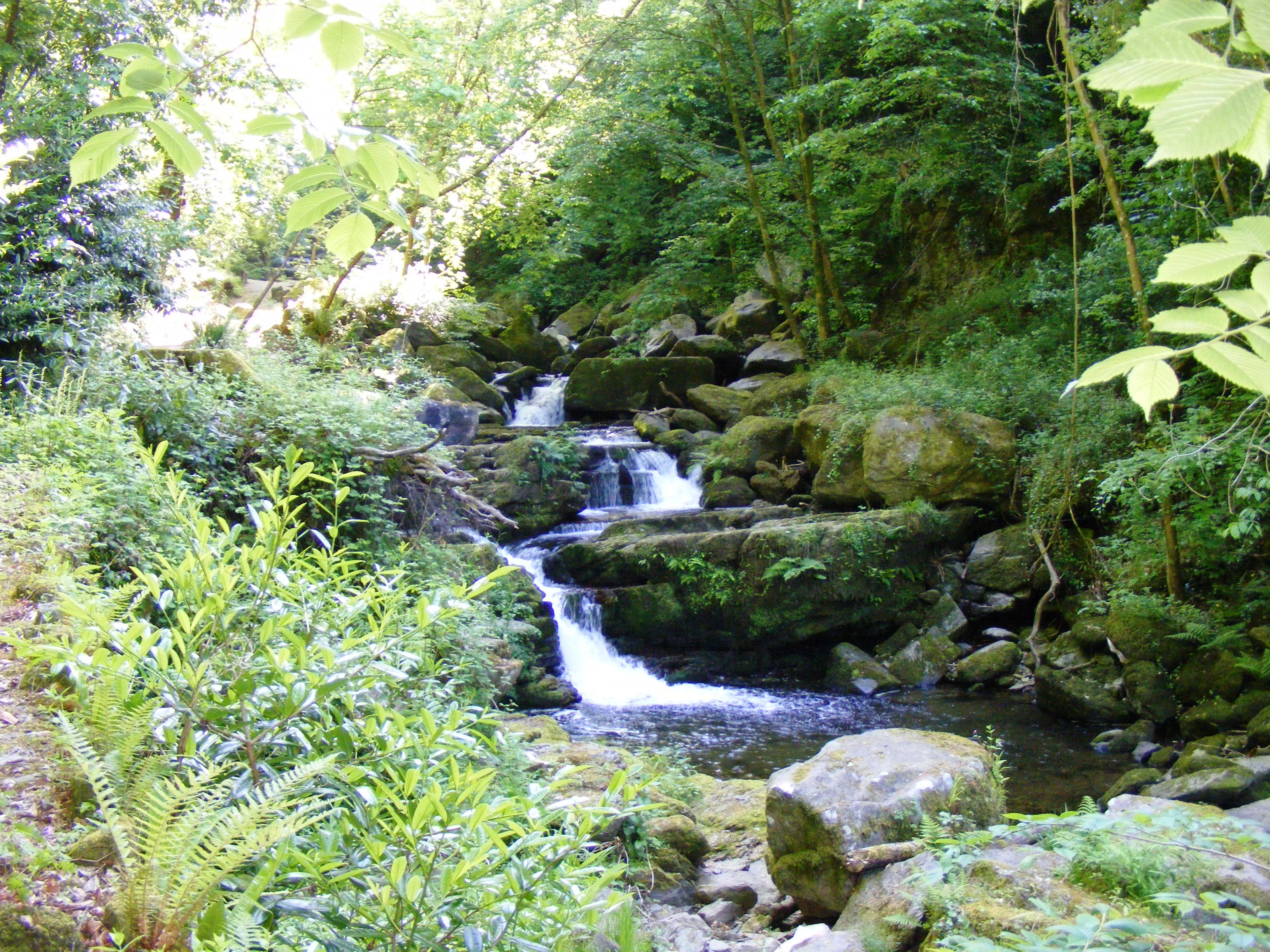 Glen Lyn Gorge | |
| Location | |
| Country | England |
| County | Somerset |
| Physical characteristics | |
| Source | |
| • location | The Chains, Somerset, England |
| • coordinates | 51°10′36″N 3°38′40″W |
| • elevation | 400 m (1,300 ft) |
| Mouth | Lynmouth |
• location | Devon, England |
• coordinates | 51°13′46″N 3°49′44″W |
• elevation | 0 m (0 ft) |
| Basin features | |
| Tributaries | |
| • left | River West Lyn |
The upper reaches have been designated as a Site of Special Scientific Interest, because of the geomorphological landforms created in the 1952 flood.[1]
The lower reaches of the river towards Lynmouth, known as the Glen Lyn Gorge, is a tourist attraction including a museum about the local water cycle, the floods of 1952, and a small hydroelectric plant.
Water is piped from the river to generate hydroelectric power for the Lynton and Lynmouth Cliff Railway, which is a water-balance funicular railway.
References
- "River Lyn SSSI citation sheet" (PDF). English Nature. Retrieved 26 May 2009.
Somerset Portal | |
| Unitary authorities |
|
| Boroughs or districts |
|
| Major settlements |
|
| Rivers |
|
| Topics |
|
This Somerset location article is a stub. You can help Wikipedia by expanding it. |
Текст в блоке "Читать" взят с сайта "Википедия" и доступен по лицензии Creative Commons Attribution-ShareAlike; в отдельных случаях могут действовать дополнительные условия.
Другой контент может иметь иную лицензию. Перед использованием материалов сайта WikiSort.org внимательно изучите правила лицензирования конкретных элементов наполнения сайта.
Другой контент может иметь иную лицензию. Перед использованием материалов сайта WikiSort.org внимательно изучите правила лицензирования конкретных элементов наполнения сайта.
2019-2026
WikiSort.org - проект по пересортировке и дополнению контента Википедии
WikiSort.org - проект по пересортировке и дополнению контента Википедии