geo.wikisort.org - River
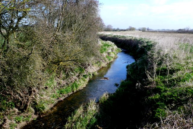
Fivehead River (also known as the River Earn[1] or Rag[2] or Ragg River) flows through south Somerset, England.
| Fivehead River River Earn, Rag River | |
|---|---|
 | |
| Location | |
| Country | England |
| County | Somerset |
| Physical characteristics | |
| Source | |
| • location | Somerset, England |
| • coordinates | 50°58′02″N 2°57′39″W |
| Mouth | River Isle |
• location | Somerset, England |
• coordinates | 50°59′52″N 2°53′42″W |
It is named after the village of Fivehead, near to two Sites of Special Scientific Interest at Fivehead Arable Fields[3] and Fivehead Woods and Meadow.[4]
The source of the river is from various streams around Batten's Green and Ashill south west of Staple Fitzpaine, and flows east past Hatch Beauchamp and Beercrocombe where it is joined by several small tributaries. It then flows north east, past Isle Abbots, joining the River Isle north of Isle Brewers.[5]
The 18th century road bridge over the river is a Grade II listed building.[6]
References
- "History of Isle Abbotts". Isle Abbotts. Retrieved 24 September 2009.
- "Village History". Fivehead Village. Archived from the original on 16 February 2008. Retrieved 24 September 2009.
- "Fivehead Arable Fields" (PDF). English Nature. Retrieved 12 August 2006.
- "Fivehead Woods and Meadow" (PDF). English Nature. Retrieved 12 August 2006.
- "Fivehead River". Somerset Rivers. Retrieved 7 September 2011.
- "Bridge at Two Bridges, carrying road over Fivehead River". British Listed Buildings. Retrieved 7 September 2011.
Somerset Portal | |
| Unitary authorities |
|
| Boroughs or districts |
|
| Major settlements |
|
| Rivers |
|
| Topics |
|
Текст в блоке "Читать" взят с сайта "Википедия" и доступен по лицензии Creative Commons Attribution-ShareAlike; в отдельных случаях могут действовать дополнительные условия.
Другой контент может иметь иную лицензию. Перед использованием материалов сайта WikiSort.org внимательно изучите правила лицензирования конкретных элементов наполнения сайта.
Другой контент может иметь иную лицензию. Перед использованием материалов сайта WikiSort.org внимательно изучите правила лицензирования конкретных элементов наполнения сайта.
2019-2026
WikiSort.org - проект по пересортировке и дополнению контента Википедии
WikiSort.org - проект по пересортировке и дополнению контента Википедии