geo.wikisort.org - River
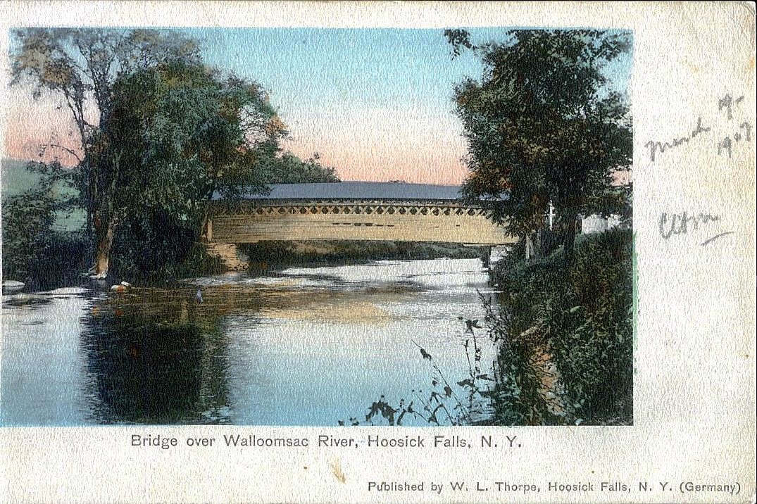
The Walloomsac River (/ˈwɑːluːmsæk, ˈwælʊmsɪk/) from the Native American name, Wal-loom-sac[1] is a 16.8-mile-long (27.0 km)[2] tributary of the Hoosic River in the northeastern United States. It rises in southwestern Vermont, in the Green Mountains east of the town of Bennington in Woodford Hollow at the confluence of Bolles Brook and City Stream where it is labeled Walloomsac Brook on maps[3][4] but is locally known as "The Roaring Branch". The river then flows west toward Bennington and passes the downtown area to the north. For many years this section was intermittent due to the water having been diverted to power mills in town (ca. 1810).[5] This divergence gave the name Walloomsac to a portion of the river flowing through town on the present course of South Stream.[3][4] The combined Walloomsac / South Stream joins the Roaring Branch northwest of town. From here the river flows westward as the Walloomsac River and joins the Hoosic River below Hoosick Falls, New York.
This article needs additional citations for verification. (August 2009) |
Bridges
The river is crossed by the following roads / railroads via bridges.
Vermont
- Walloomsac Brook
 VT 9 - "Woodford Bridge", west of Long Trail/Appalachian Trail trailhead, washed away in flood waters related to Hurricane Irene in August 2011, and another bridge east of downtown Bennington
- The Roaring Branch
 VT 279 just north of its eastern terminus and SPUI interchange at Route 9 (2 one-way bridges)
- North Branch Street - the bridge there is known locally as the Brooklyn Bridge
- Park Street
 US 7
US 7- Railroad bridge between US Route 7 and Benmont Avenue
- Walloomsac River
- Benmont Avenue
- Hunt Street foot bridge (washed away in flood waters related to Hurricane Irene in August 2011)
- VT 279 via the western leg of the "Bennington Bypass"
- Silk Road via the Silk Covered Bridge
- Murphy Road via two bridges at Paper Mill Village including the Paper Mill Village Covered Bridge
- River Road via the Burt Henry Covered Bridge
New York
- Cottrell Road in two places
- Caretakers Road
- Factory Hill Road
 NY 22
NY 22- Railroad bridges in three places
Tributaries
Traveling upstream from the confluence with the Hoosic River, the following tributaries feed the Walloomsac:
- Little White Creek
- Paran Creek
- Walloomsac River (original path through downtown Bennington, name ends at confluence of Roaring Brook and South Stream):
- Roaring Brook
- Barney Brook
- South Stream
- Jewett Brook
- Roaring Branch (of South Stream)
- Roaring Branch of the Walloomsac River (so named on maps from US 7 to VT 9, locally this name continues to Bolles Brook)
- Furnace Brook
- Stratton Brook
- Basin Brook
- Walloomsac Brook (so named on maps from VT 9 to confluence of Bolles Brook and City Stream)
- Bolles Brook
- Bickford Hollow Brook
- Hell Hollow Brook
- City Stream
- Stamford Stream
- Bolles Brook
- Furnace Brook
See also
References
- Aboriginal place names of New York, By William Martin Beauchamp, page 185
- U.S. Geological Survey. National Hydrography Dataset high-resolution flowline data. The National Map, accessed October 3, 2011
- 1898 topographical map of Bennington, VT
- 1954 topographical map of Bennington, VT
- Molly Stark Byway, Bennington, History In The Making
External links
- USGS water flow statistics near North Bennington
- NOAA Advanced Hydrologic Prediction Service, Walloomsac River
Другой контент может иметь иную лицензию. Перед использованием материалов сайта WikiSort.org внимательно изучите правила лицензирования конкретных элементов наполнения сайта.
WikiSort.org - проект по пересортировке и дополнению контента Википедии