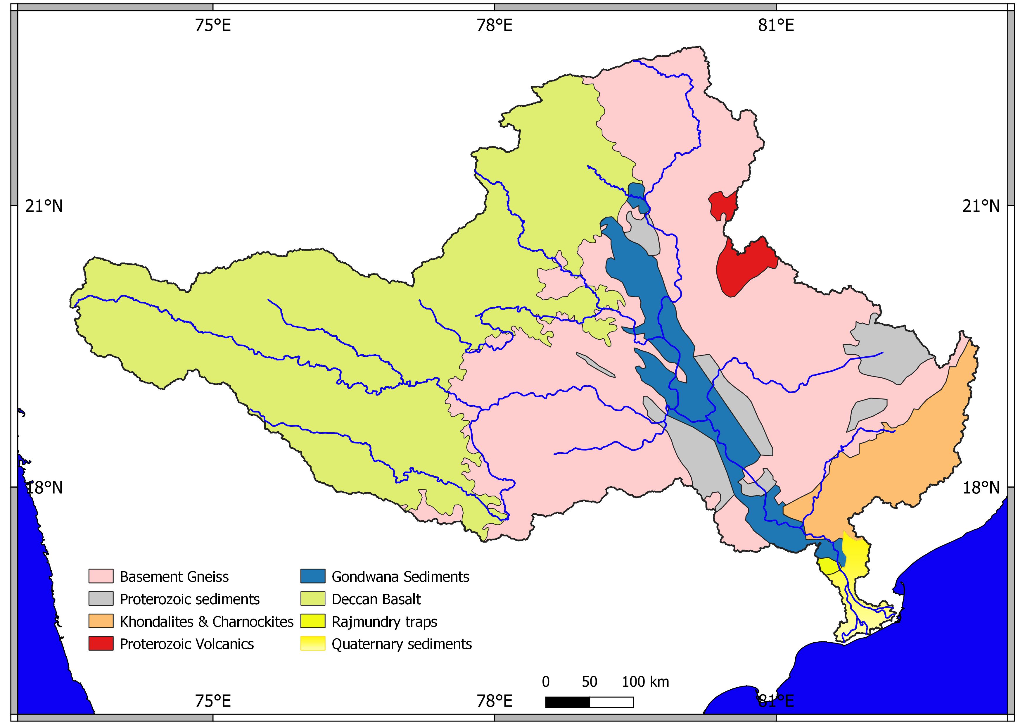
geo.wikisort.org - River
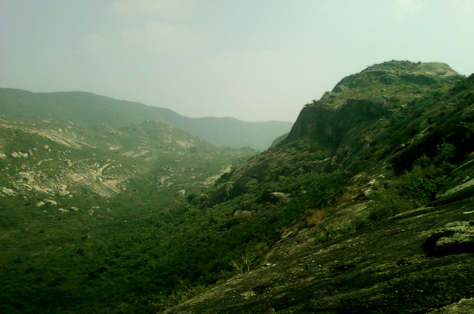
Sileru River is a tributary of Sabari River. It originates in Andhra Pradesh and also flows through Odisha before merging with Sabari. Sabari river crosses the border into Andhra Pradesh to merge with Godavari river.[1] Sileru (known as Machkund in its upper reaches) river joins Sabari river tri-junction boundary point of Andhra Pradesh, Chhattisgarh and Odisha.
Hydro power potential
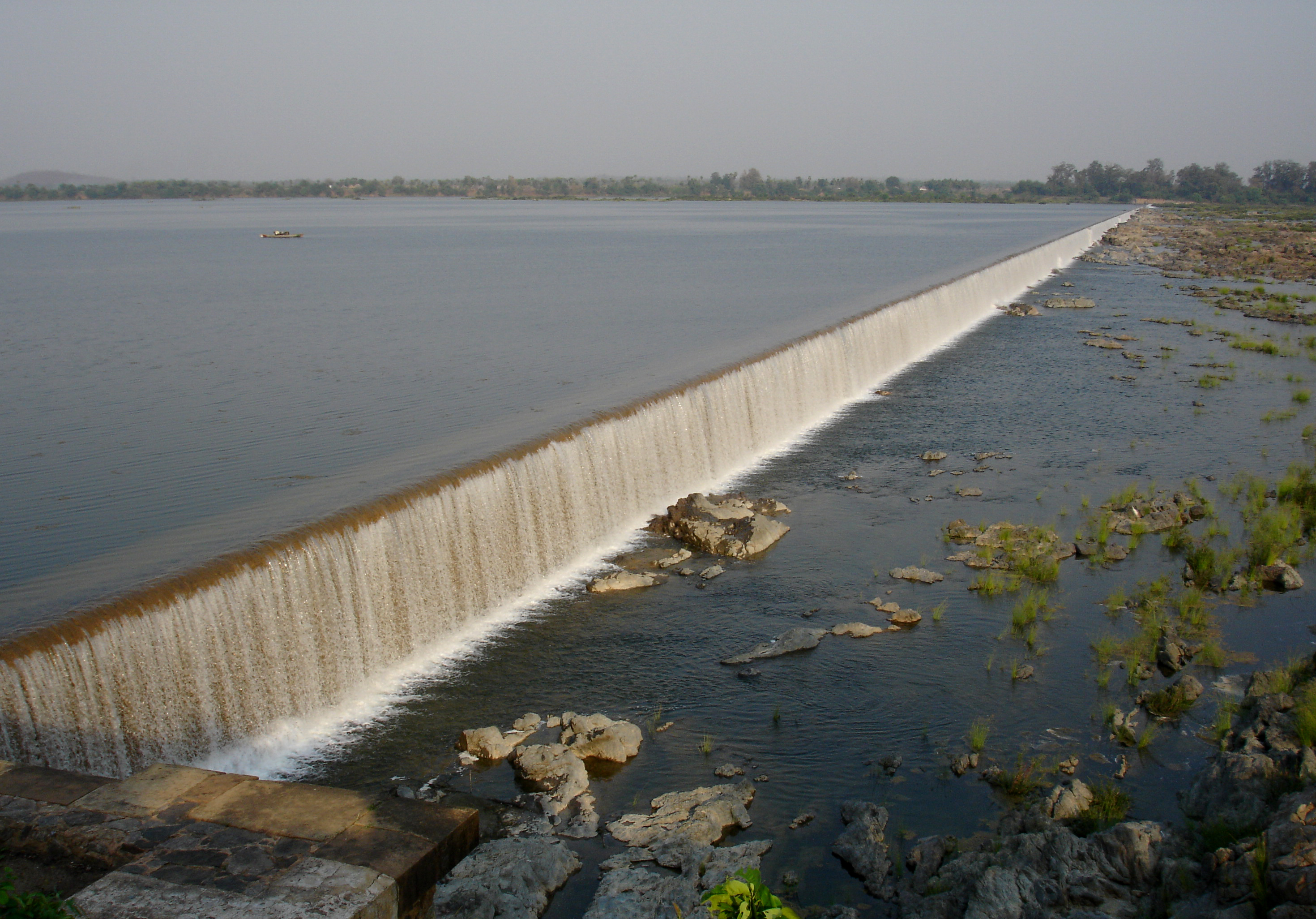
Sileru river has huge potential of hydro electricity generation which has been substantially harnessed by constructing Machkund (120 MW), Balimela (510 MW), Upper Sileru (240 MW), Donkarayi (25 MW) and Lower Sileru hydro (460 MW) power projects.[2] Chitrakonda (60 MW) hydro project located at the toe of Balimela earth dam is planned to utilise the head available across the earth dam.[3]
Irrigation potential
The water released from the Balimela power station is used for irrigation in the Potteru tributary basin of Sabari in Odisha. At present the water released from the other power stations is not useful to irrigation needs except during lean flow period in main Godavari river for the requirements of Godavari delta. Uttarandhra region can create huge irrigation potential with the perennial water supply from the available water storages in Seleru river basin. The mid lands of East Godavari district can get augmented water supply by diverting Sileru river water from Donkarayi reservoir (310 m MSL) towards east of Eastern Ghats by constructing 35 km long tunnel with enhanced power potential.[4] Similarly, mid lands of Vishakhapatnam District, Vizianagaram district and Srikakulam district can get augmented water supply by diverting Sileru river water from Guntawada weir (head works of Upper Sileru power station) at 410 m MSL towards east by constructing 30 km long tunnel with enhanced power potential.[5] The diverted water of Sileru river to the east can also be used to supply water to the Polavaram left bank canal and Visakhapatnam city's continuous drinking water needs when water level is not adequate in Polavaram reservoir during non monsoon months.
The water released from the Lower Sileru power station can be diverted to Yeleru reservoir by gravity with a 70 km long tunnel to create additional irrigation in East Godavari district. Part of the water released by Lower Sileru power station can also be used for the planned Lower Sileru irrigation scheme located in Sileru and Sabari basins.
See also
- Kanithi Balancing Reservoir
- Jalaput Dam
References
- Britannica
- Andhra Pradesh Power Generation Corporation Ltd Archived 25 February 2012 at the Wayback Machine
- "AP, Orissa join hands to build hydel project". Retrieved 4 November 2013.
- "Donkarai( S.H.E.S) D03456". Retrieved 4 November 2015.
- "Guntawada Main Dam D06086". Retrieved 4 November 2015.
Godavari basin | |||||||||||||||
|---|---|---|---|---|---|---|---|---|---|---|---|---|---|---|---|
| Rivers |
|     | |||||||||||||
| Dams, barrages |
| ||||||||||||||
| Geographical features / regions |
| ||||||||||||||
| Riparian districts |
| ||||||||||||||
| Cities | |||||||||||||||
| Languages / people | |||||||||||||||
| Coalfields |
| ||||||||||||||
| Oil / gas fields |
| ||||||||||||||
| Industries |
| ||||||||||||||
| Transport |
| ||||||||||||||
| Pollution concerns, River basin's sustainable productivity & ecology |
| ||||||||||||||
| Related topics |
| ||||||||||||||
| Other basins | |||||||||||||||
| Rivers |
|      |
|---|---|---|
| Regions |
| |
| Hills |
| |
| Peaks | ||
| Waterfalls |
| |
| Parks & Reserves |
| |
| States |
| |
На других языках
- [en] Sileru River
[ru] Мачкунд
Ма́чкунд[1][2] (англ. Machkund River[3]; в нижнем течении — Силеру[1][2], англ. Sileru River[3]) — река на северо-востоке южной части Индии, течёт по территории штатов Орисса и Андхра-Прадеш. Левый приток нижнего течения Сабари[2]. Относится к бассейну Годавари[1].Другой контент может иметь иную лицензию. Перед использованием материалов сайта WikiSort.org внимательно изучите правила лицензирования конкретных элементов наполнения сайта.
WikiSort.org - проект по пересортировке и дополнению контента Википедии