geo.wikisort.org - River
Duduma Waterfall is situated in the border of Koraput (Odisha) districts of India.[1][2][3]
| Duduma Waterfall | |
|---|---|
 | |
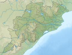 | |
| Location | Koraput District, Odisha, India |
| Coordinates | 18°31′6.68″N 82°27′12.83″E |
| Type | Horsetail |
| Total height | 157 meter |
| Number of drops | 1 |
Geography
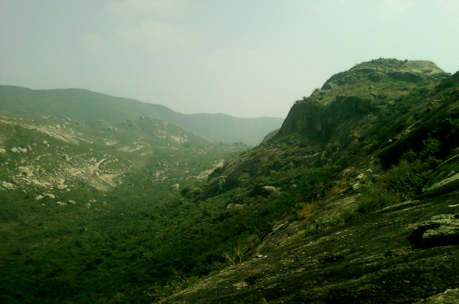
This horsetail type waterfall is 175 metres (574 ft) in height and is formed by the Machkund river. It has two sub-waterfalls, one on the Odisha side and the other on the Andhra Pradesh side.[citation needed] Duduma is about 92 km from Koraput and about 177 km from Visakhapatnam.
Hydroelectric project
Machhakund (Duduma) Hydroelectric Project is located near Duduma Falls.[4] It is a collaborative project between the Government of Andhra Pradesh and the Government of Odisha. The project, consisting of 6 units, has an installed capacity of 120 MW.
Tourism
Machkund is a pilgrimage destination. The aboriginal tribe of Bonda, Gadaba, and paraja's live near this waterfall.
Gallery


See also
- List of waterfalls in India
- List of waterfalls in India by height
References
- "MACHHKUND (Duduma) | Koraput District : Odisha". Retrieved 21 January 2019.
- "Duduma Waterfall". siliconindia.com. Retrieved 27 November 2016.
- whereincity.com: Duduma Waterfall - Koraput
- "DUDUMA". Archived from the original on 15 April 2012. Retrieved 11 March 2013.
| Rivers |
|      |
|---|---|---|
| Regions |
| |
| Hills |
| |
| Peaks | ||
| Waterfalls |
| |
| Parks & Reserves |
| |
| States |
| |
This waterfall-related article is a stub. You can help Wikipedia by expanding it. |
Другой контент может иметь иную лицензию. Перед использованием материалов сайта WikiSort.org внимательно изучите правила лицензирования конкретных элементов наполнения сайта.
WikiSort.org - проект по пересортировке и дополнению контента Википедии