geo.wikisort.org - River
The River Erne (/ɛərn/ AIRN, Irish: Abhainn na hÉirne or An Éirne) in the northwest of the island of Ireland, is the second-longest river in Ulster, flowing through Northern Ireland and the Republic of Ireland, and forming part of their border.
| River Erne | |
|---|---|
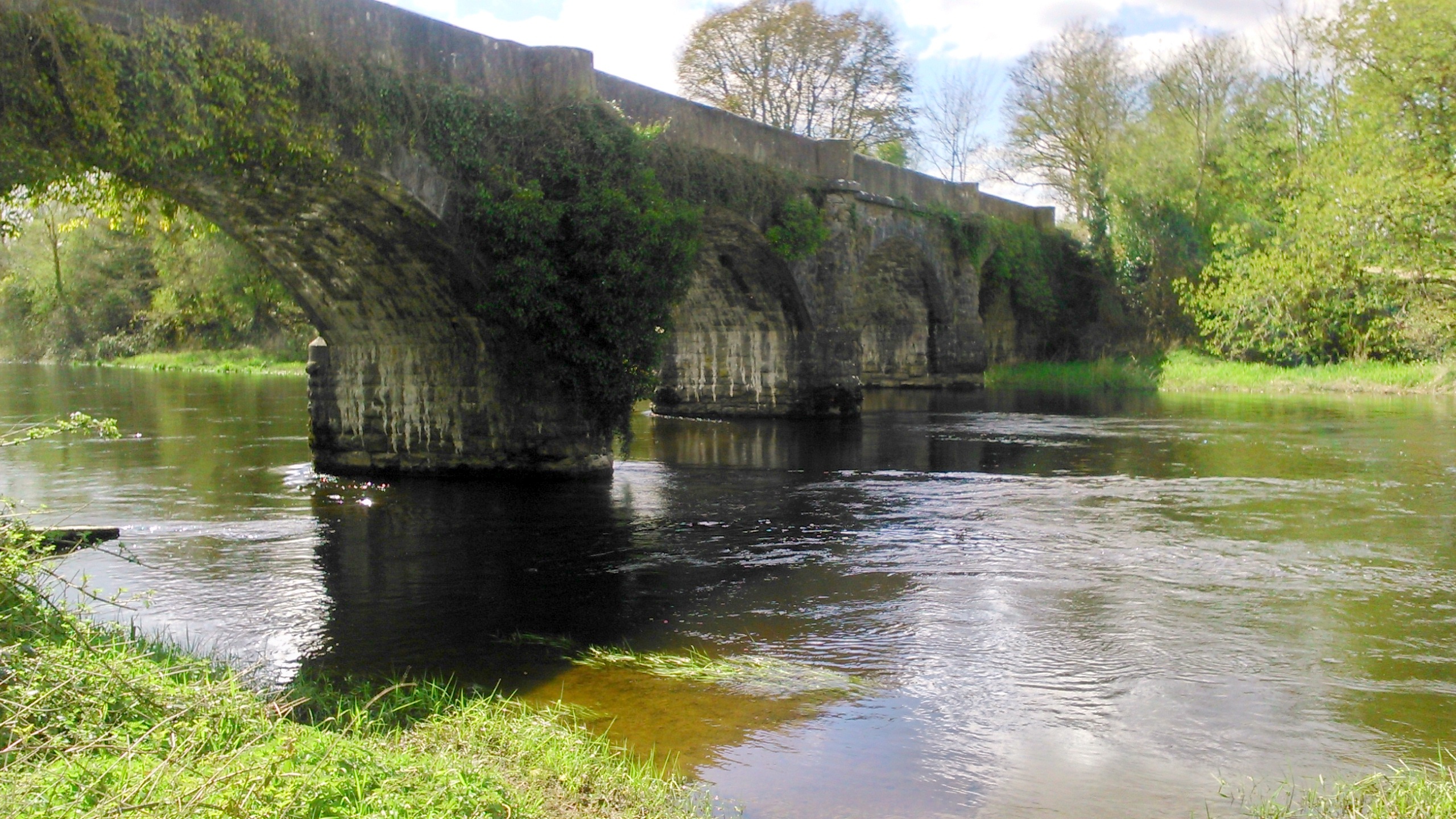
 The River Erne in Ballyshannon | |
| Native name | An Éirne (Irish) |
| Location | |
| Country | Republic of Ireland, Northern Ireland |
| Physical characteristics | |
| Source | |
| • location | Slieve Glah, County Cavan, Ireland |
| • elevation | ~255 m (837 ft) |
| Mouth | |
• location | Atlantic Ocean at Ballyshannon, County Donegal |
• coordinates | |
| Length | ~129 km (80 mi) |
| Basin size | 4,372 km2 (1,688 sq mi) |
| Discharge | |
| • average | 101.7 m3/s (3,590 cu ft/s) |
| Basin features | |
| Tributaries | |
| • left | Arney River, Sillees River |
| • right | River Annalee, River Finn (Erne tributary), Colebrooke River, Ballycassidy River, Kesh River, Brannagh River |
Course
The Erne rises on the east shoulder of Slieve Glah mountain [1] three miles south of Cavan in County Cavan, Republic of Ireland, and flows 80 miles (129 km)[2] through Lough Gowna, Lough Oughter and Upper and Lower Lough Erne, County Fermanagh, Northern Ireland, to the sea at Ballyshannon, County Donegal back in the Republic.[3] The river is 120 kilometres long and is used for fly fishing for trout and salmon, with a number of fisheries along both the river itself and its tributaries. The town of Enniskillen is mostly situated on an island in the river, between Upper and Lower Lough Erne. It is linked to the River Shannon by the Shannon–Erne Waterway.
The total catchment area of the River Erne is 4,372 km2.[4] The long-term average rate of the River Erne is 101.7 cubic metres per second (m3/s)[4]
Name
The river takes its name from a mythical princess named Éirne.
Angling

Pleasure boating
Live aboard pleasure cruisers are available in several locations along the Erne waterway, including Belturbet, Knockniny, Carrybridge, Bellanaleck, Enniskillen, and Killadeas.[citation needed] In addition to the use of the Erne for live aboard boating holidays, sections of the river are used for water skiing, bank fishing, trolling, jet skiing and scuba diving.[citation needed] Boaters are cautioned, by the Northern Ireland Tourist Board, that Upper Lough Erne is a maze of small islands needing careful navigation, and waves on Lower Lough Erne can reach "open-sea dimensions".[5]
Ancient ruins
The Erne waterway is home to ancient ruins, both Christian and Pagan, with ruins found in several locations, including: Crom Estate, on the North bank of the Upper Erne channel, Gad Island, near Crom Estate, Devenish Island, Inismacsaint Island, Davy’s Island, White Island, and Boa Island. Many of these locations can only be reached by boat.
Devenish Island has a historical display centre adjacent to its ruins. Visitors sometimes use rental boats and the Ordnance Survey of Northern Ireland Activity Map of Lough Erne (ISBN 978-1-905306-26-8) to locate these ancient sites.[citation needed]
Culture
The song Buachaill Ón Éirne is an Irish ballad about a young boy from the Erne area. It has been recorded by such groups as Clannad and The Corrs.[citation needed]
The Erne is also mentioned in a traditional song, An Mhaighdeán Mhara, which has been recorded by Mairéad Ní Mhaonaigh of Altan, Maighread Ní Dhomhnaill, and Moya Brennan.[citation needed]
Former railway lines
A number of places were once accessible by train along the River Erne, with the once extensive Great Northern Railway and the Sligo, Leitrim and Northern Counties Railway both serving the area.
References
- Explanatory Memoir, sheets 68 and 69 of the Geological Survey of Ireland, 1878 (PDF). Memoirs of the Geological Survey. 1878 – via geologicalmaps.net.
- Williams, Robert A. (1872). Notes on River Basins. p. 67 – via archive.org.
- "Fisheries - River Erne". Ireland Fly Fishing. Archived from the original on 13 July 2011. Retrieved 28 February 2009.
- South Eastern River Basin District Management System (PDF). serbd.com (Report). p. 38. Archived from the original (PDF) on 3 March 2016.
- "Northern Ireland - County Fermanagh/Lough Erne". geographia.com.
External links
На других языках
[de] Erne (Fluss)
Die Erne (irisch Abhainn na hÉirne, An Éirne) ist ein Fluss im Nordwesten Irlands.- [en] River Erne
[es] Río Erne
El Erne, es un río en el noroeste de Irlanda, nace en el lago Gowna, en el condado de Cavan (República de Irlanda) y transcurre por Irlanda del Norte a través del condado de Fermanagh hasta desembocar en Ballyshannon, en el condado de Donegal. El Erne tiene 120 kilómetros de largo y en él se practica la pesca de la trucha, debido a lo que existen diversas piscifactorías a lo largo de su curso y el de sus afluentes. La mayor parte de la localidad de Enniskillen se encuentra ubicada en una isla fluvial del río Erne.[it] Erne
L'Erne (in gaelico Abhainn na hÉirne, in inglese River Erne) è un fiume dell'Irlanda che nasce sul confine fra Repubblica d'Irlanda e Irlanda del Nord, per percorrere verso nord il Fermanagh fino all'Upper Lough Erne, dopo il quale cambia corso verso ovest-nord ovest, immettendosi nel Lower Lough Erne prima di entrare in Donegal e sfociare nei pressi di Ballyshannon. L'Erne è collegato allo Shannon tramite un canale (Shannon-Erne Waterway) che parte dalla contea di Leitrim e confluisce nei pressi di Belturbet.[ru] Эрн (река)
Эрн (англ. River Erne, ирл. Abhainn na hÉirne / An Éirne) — река в северной части острова Ирландия, текущая из озера Лох-Гауна (Loch Gowna, графство Лонгфорд) на северо-запад, в залив Донегол Атлантического океана. Река образует ряд озёр, в частности — Лох-Эрн[1].Другой контент может иметь иную лицензию. Перед использованием материалов сайта WikiSort.org внимательно изучите правила лицензирования конкретных элементов наполнения сайта.
WikiSort.org - проект по пересортировке и дополнению контента Википедии