geo.wikisort.org - River
The Pithlachascotee River, often called the Cotee or "Cootie" River,[1][2][3] is a blackwater river in Pasco County, Florida.
| Pithlachascotee River "Cotee River" | |
|---|---|
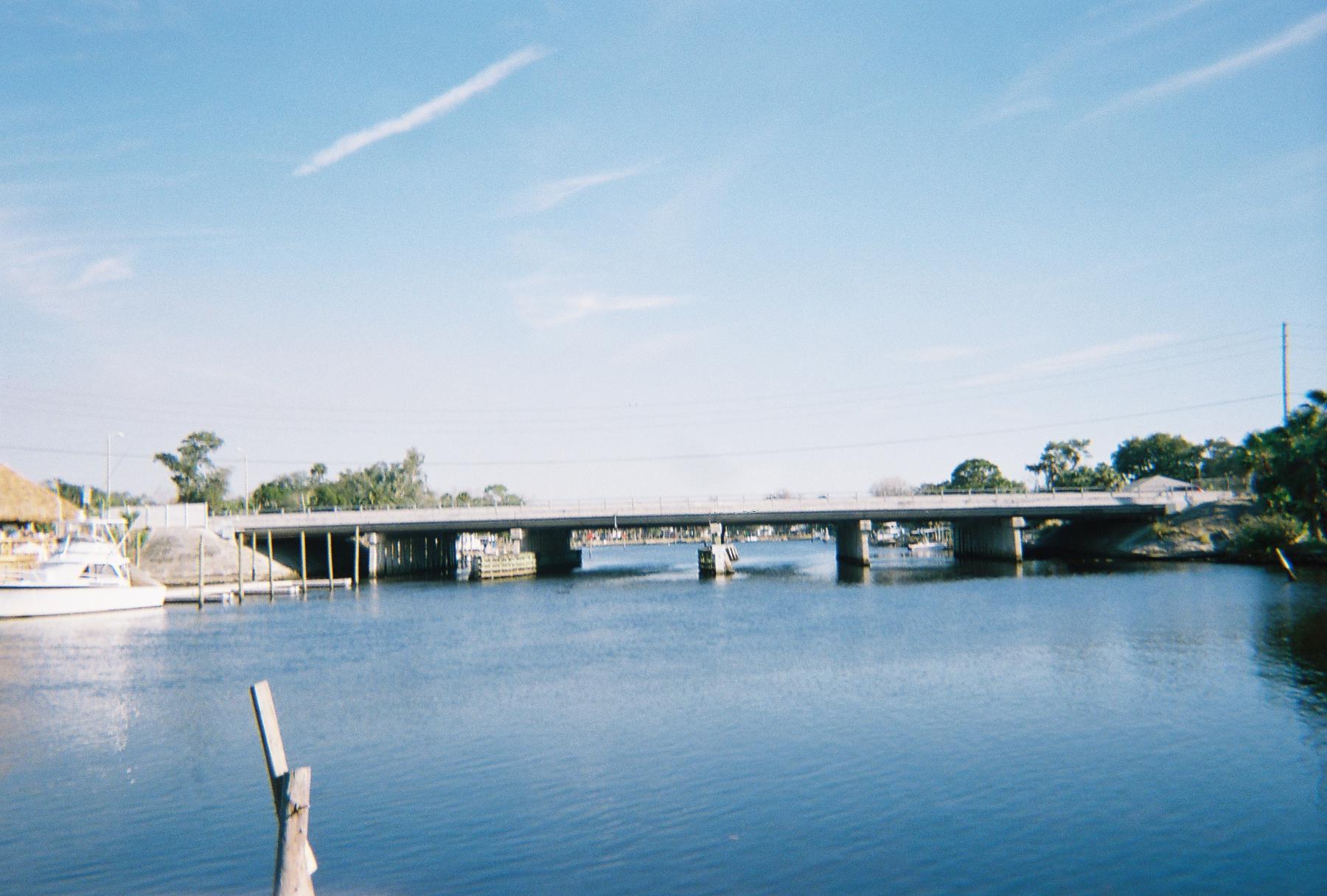 The US 19 bridge over the Pithlachascotee River between Port Richey(left) and New Port Richey. | |
| Location | |
| Country | United States |
| State | Florida |
| County | Pasco |
| District | SWFWMD |
| Physical characteristics | |
| Source | Starkey park |
| • location | Shady Hills, Florida |
| • coordinates | 28°22′08″N 82°31′58″W |
| Mouth | Gulf of Mexico |
• location | Port Richey, Florida |
• coordinates | 28°16′40″N 82°44′37″W |
| Length | 23 mi (37 km) |
| Discharge | |
| • location | 10.5mi upstream from mouth |
| • average | 25.42 cu ft/s (0.720 m3/s) |
| Basin features | |
| Tributaries | |
| • right | Five Mile Creek, |

Originating near Crews Lake, the river flows for over 23 miles (37 km)[4] to the south and west, flowing through the Starkey Wilderness Park before turning northwest through downtown New Port Richey, entering the Gulf of Mexico at Miller's Bayou. A Florida State Canoe Trail runs along the river.
On a chart representing the west coast of Florida accompanying the annual report of the U.S. Coast Survey for 1851, the name is translated as "Boat Building River". The whole word signifies the place where canoes were chopped or dug out. The Seminole used canoes dug out of cypress trunks. It is derived from the Creek pithlo (canoe), and chaskita (to chop out).[5]
List of crossings
This list is incomplete; you can help by adding missing items. (February 2011) |
| Crossing | Carries | Image | Location | Coordinates |
|---|---|---|---|---|
| Headwaters | 28°22′08″N 82°31′58″W | |||
| 140018 |  |
Fivay Junction | 28°19′45″N 82°32′11″W | |
| 140080 140081 |
Suncoast Parkway |
 |
28°18′33″N 82°33′01″W | |
| power line road | Starkey Wilderness Park | 28°17′33″N 82°35′05″W | ||
| Wilderness Road | Starkey Wilderness Park | 28°15′25″N 82°38′35″W | ||
| 144048 | Starkey Boulevard |  |
New Port Richey | 28°15′20″N 82°39′03″W |
| 144026 144050 |
Little Road |
 |
New Port Richey | 28°14′23″N 82°40′26″W |
| ford? | Nova Court | New Port Richey | 28°14′13″N 82°41′14″W | |
| 144025 144049 |
Rowan Road |
 |
New Port Richey | 28°14′15″N 82°41′38″W |
| 140064 | Madison Street | 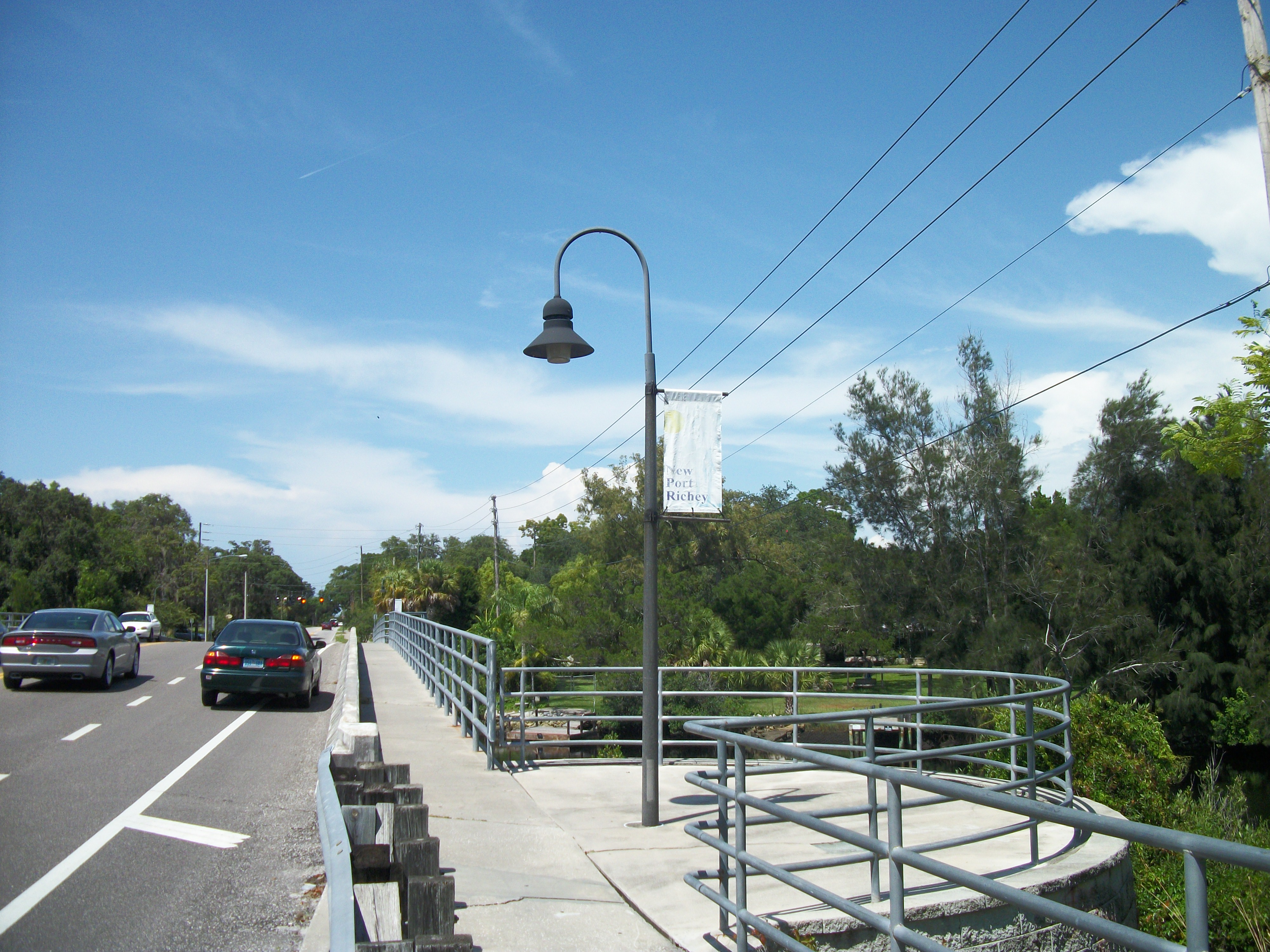 |
New Port Richey | 28°14′30″N 82°42′56″W |
| 140050 | Grand Boulevard |
 |
New Port Richey | 28°14′24″N 82°43′10″W |
| 140021 | Main Street |
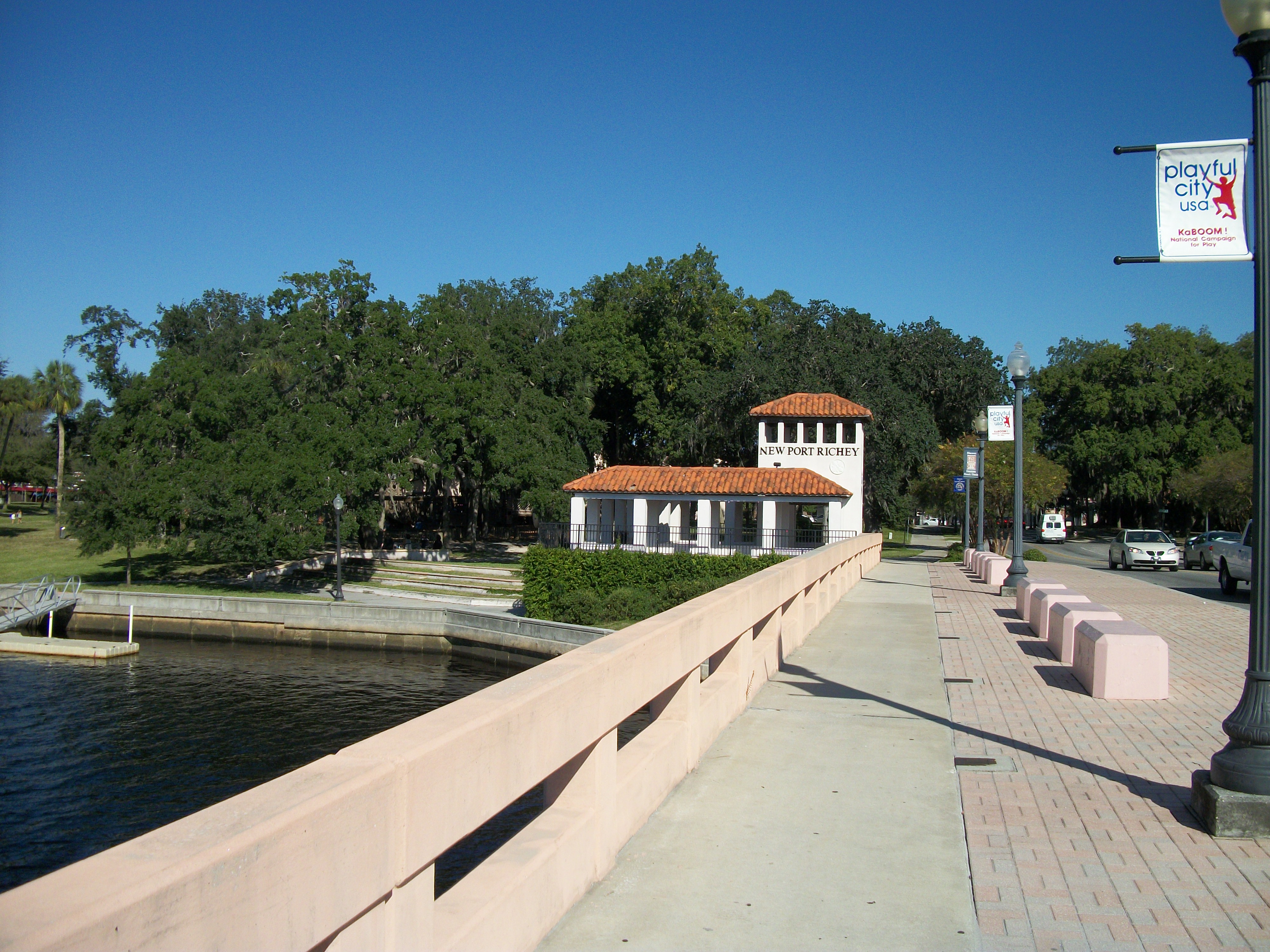 |
New Port Richey | 28°15′01″N 82°43′22″W |
| 140005 | Port Richey | 28°16′10″N 82°43′33″W | ||
| Outflow of Miller's Bayou | 28°16′21″N 82°43′40″W | |||
| Mouth | 28°16′40″N 82°44′37″W | |||
References
- Cannon, Jeff (2009). Hudson. Images of America. Mount Pleasant, SC: Arcadia Publishing. p. 41. ISBN 9780738567815. Retrieved 2011-10-18.
- Ford, Norman D. (1969). Norman Ford's Florida. New York: Harian Publications. p. 180. Retrieved 2011-10-18.
- Henshall, James Alexander (1884). Camping and Cruising in Florida. Cincinnati, OH: Robert Clarke & Co. p. 230. Retrieved 2011-10-18.
Cootie River.
- U.S. Geological Survey. National Hydrography Dataset high-resolution flowline data. The National Map, accessed April 18, 2011
- Simpson, J. Clarence (1956). Mark F. Boyd (ed.). Florida Place-Names of Indian Derivation. Tallahassee, Florida: Florida Geological Survey.
External links
- SWFWMD: Pithlachascotee River
- FDEP EcoSummary: Pithlachascotee River
- U.S. Army Corps of Engineers: Pithlachascotee River improvements
| Authority control: National libraries |
|---|
Другой контент может иметь иную лицензию. Перед использованием материалов сайта WikiSort.org внимательно изучите правила лицензирования конкретных элементов наполнения сайта.
WikiSort.org - проект по пересортировке и дополнению контента Википедии