geo.wikisort.org - Reservoir
Lake Harris is a lake in Lake County, Florida, United States, 31 miles (50 km) northwest of Orlando. It is part of the Upper Ocklawaha River Basin, a sub-watershed of the St. Johns River. It is one of seven lakes in the Harris Chain of Lakes or "Ocklawaha Chain of Lakes".
| Lake Harris | |
|---|---|
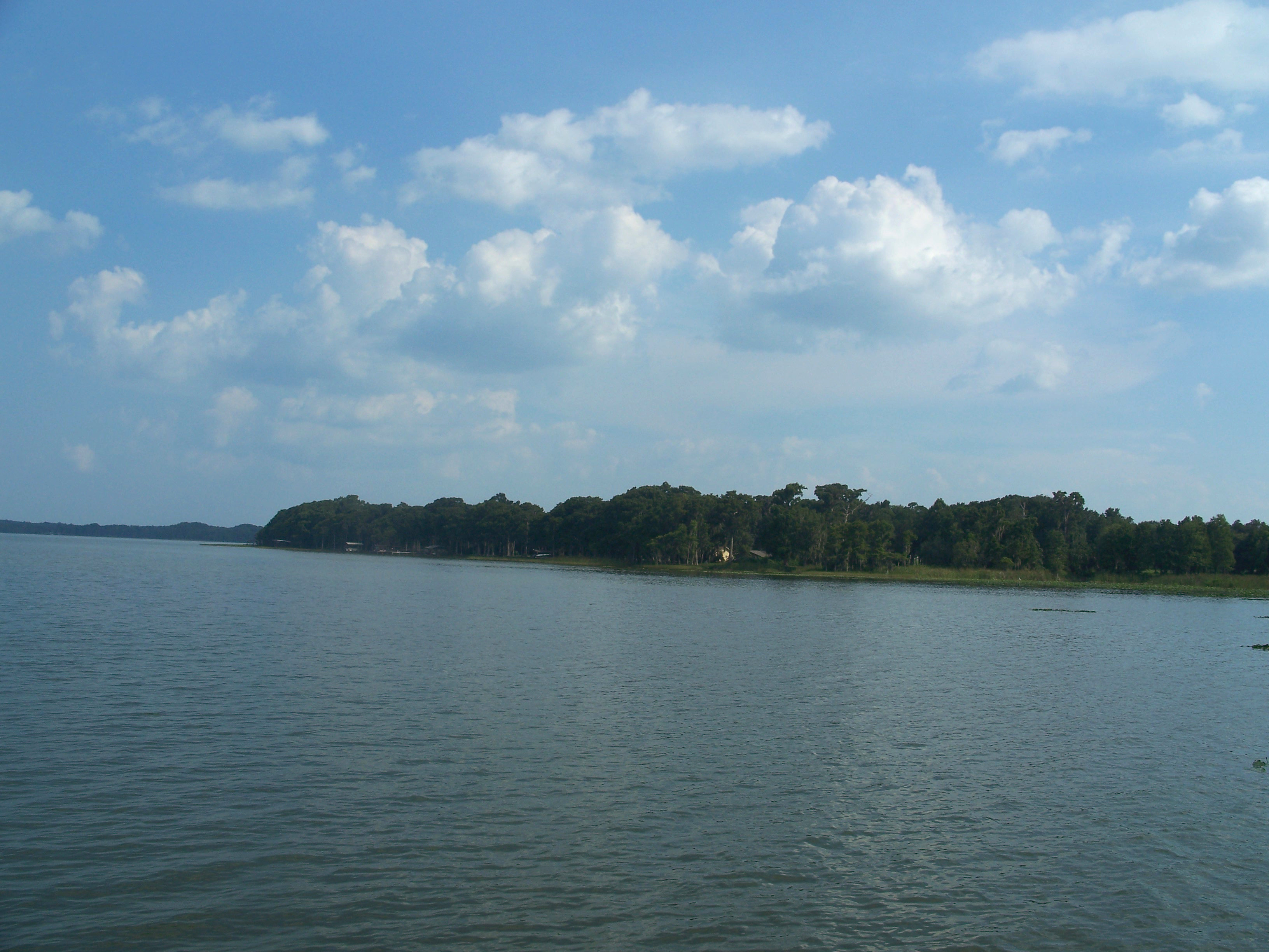 Looking east from Singletary Park | |
 Lake Harris  Lake Harris | |
| Location | Lake County, Florida |
| Coordinates | 28°46′4″N 81°48′57″W |
| Basin countries | United States |
| Surface area | 13,788 acres (55.80 km2) |
| Surface elevation | 62 ft (19 m) |

Lake Harris is the largest lake entirely in Lake County, at 13,788 acres (56 km2), with an irregular shape when viewed from the air. An adjoining bay, Little Lake Harris, east of SR 19, is a smaller version of the lake. The combined area of the two lakes exceeds 15,000 acres (61 km2).
The lake's northeastern shore is a landing approach zone for Leesburg International Airport. It is a harbor city for Leesburg, at the northwestern shore of the lake. At the westernmost point of the lake is U.S. Route 27/SR 25.
Lake Harris' primary inflow is at its southwestern shore from the Palatlakaha River, which originates from the Clermont chain of lakes to the south. Other inflowing rivers include Helena Run, and outflow from many small springs in Yalaha.
Lake Harris' depth is much greater than Lake Okeechobee to the south, with many deeper holes and ledges. The lake is surrounded by sandhills and cypress trees, part of the Central Florida Ridge. This region has the highest elevations in central Florida, including Sugarloaf Mountain reaching 312 feet (95 m) above sea level. Compared to the rest of Florida, which is relatively flat, it is quite hilly.
There are three public launching ramps on Lake Harris; off U.S. Route 27 to the west, Venetian Gardens in Leesburg, and Hickory Point near the Howey-in-the-Hills bridge off SR 19. There is a small but serviceable ramp on the east side of Little Lake Harris in the town of Astatula.
The lake is ringed with cattail and bullrush, except for the occasional boat, dock, or seawall. The depth in these tall grasses normally ranges from 2 to 5 feet (0.61 to 1.52 m). The bottom is mostly hard sand, except for some marshy areas where the bottom is considerably softer. These sheltered areas around the edge can offer a good place to fish during inclement weather.
Origin of name
Lake Harris derives its name from Ebenezer Jackson Harris (1815–1885),[1] a pioneer resident who lived at Yalaha on the south side of the lake in the 1840s. Lake Harris had been originally called "Lake Eustis" since 1823, in honor of Colonel Abraham Eustis. A freshwater lake to the north, the modern-day Lake Eustis, now honors the pioneer settler. Lake Eustis is connected by the Dead River directly to Lake Harris, which was also known by its Seminole name Astatula.[2]
References
- Findagrave - Ebenezer Jackson Harris
- Lake County, Florida Water Atlas
External links
- U.S. Geological Survey Geographic Names Information System: Lake Harris
- Ocklawaha River Watershed and Lake Harris Protection - Florida DEP
| Authority control: National libraries |
|---|
На других языках
[de] Lake Harris (Florida)
Lake Harris ist ein See im Lake County im US-Bundesstaat Florida. Er hat eine Fläche von 61 km².- [en] Lake Harris (Florida)
Другой контент может иметь иную лицензию. Перед использованием материалов сайта WikiSort.org внимательно изучите правила лицензирования конкретных элементов наполнения сайта.
WikiSort.org - проект по пересортировке и дополнению контента Википедии