geo.wikisort.org - River
The Kaso River (Sungai Kaso or Kacu) is a stream in the Indonesian part of the island of Borneo, about 1100 km northeast of the Indonesian capital Jakarta.[1] One of its tributaries is the Seputan River. The Kaso flows into the Mahakam River.[2] In 1889, Tromp reported three villages of Bukat people on the Kaso. In fact the villages were on the Penane River, a tributary of the Kacu at Long Mecai. The semi-nomadic Seputan people also live on the Kacu at times.[3]
| Kaso River Sungai Kaso, Sungai Kacu, Soengai Kasau, Sungai Kasso, Soengai Kasso | |
|---|---|
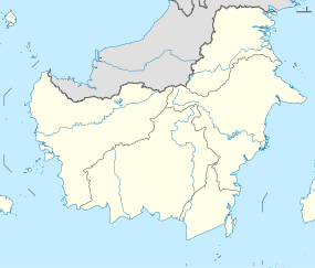  Location of river mouth 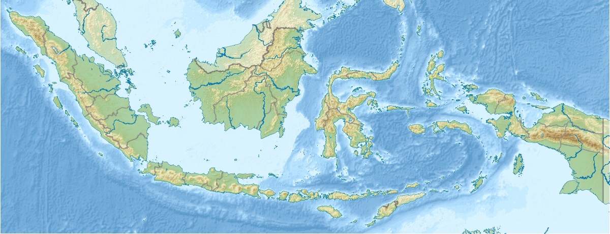 Kaso River, Borneo (Indonesia) | |
| Location | |
| Country | Indonesia |
| Province | East Kalimantan |
| Physical characteristics | |
| Source | |
| • location | Borneo |
Geography
The river flows in the central area of Borneo with predominantly tropical rainforest climate (designated as Af in the Köppen-Geiger climate classification).[4] The annual average temperature in the area is 21 °C. The warmest month is September, when the average temperature is around 22 °C, and the coldest is June, at 20 °C.[5] The average annual rainfall is 4449 mm. The wettest month is November, with an average of 554 mm rainfall, and the driest is October, with 235 mm rainfall.[6]
See also
References
- Sungai Kaso at Geonames.org (cc-by); Last updated 2013-06-04; Database dump downloaded 2015-11-27
- Michels, John (1891). Science. American Association for the Advancement of Science. p. 106. Retrieved 10 December 2011.
- Sellato, Bernard (1994). Nomads of the Borneo rainforest: the economics, politics, and ideology of settling down. University of Hawaii Press. ISBN 0-8248-1566-1.
- Peel, M C; Finlayson, B L; McMahon, T A (2007). "Updated world map of the Köppen-Geiger climate classification". Hydrology and Earth System Sciences. 11 (5): 1633–1644. doi:10.5194/hess-11-1633-2007. Retrieved 30 January 2016.
- "NASA Earth Observations Data Set Index". NASA. 30 January 2016.
- "NASA Earth Observations: Rainfall (1 month - TRMM)". NASA/Tropical Rainfall Monitoring Mission. 30 January 2016.
Другой контент может иметь иную лицензию. Перед использованием материалов сайта WikiSort.org внимательно изучите правила лицензирования конкретных элементов наполнения сайта.
WikiSort.org - проект по пересортировке и дополнению контента Википедии