geo.wikisort.org - Reservoir
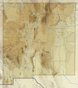
Navajo Lake is a reservoir located in San Juan County and Rio Arriba County[1] in northwestern New Mexico, in the southwestern United States. Portions of the reservoir extend into Archuleta County in southern Colorado. The lake is part of the Colorado River Storage Project, which here manages the upper reaches of the San Juan River, storing and releasing water that is used locally for irrigation, or ultimately reaching the Colorado River in Utah. Water is impounded in Navajo Lake by the earth- and rock-filled Navajo Dam, 3,800 feet (1,200 m) long and 400 feet (120 m) high, completed in 1962. The 15,600-acre (63 km2) lake is over 25 miles (40 km) long and lies at an elevation of up to 6,085 feet (1,855 m).
| Navajo Lake | |
|---|---|
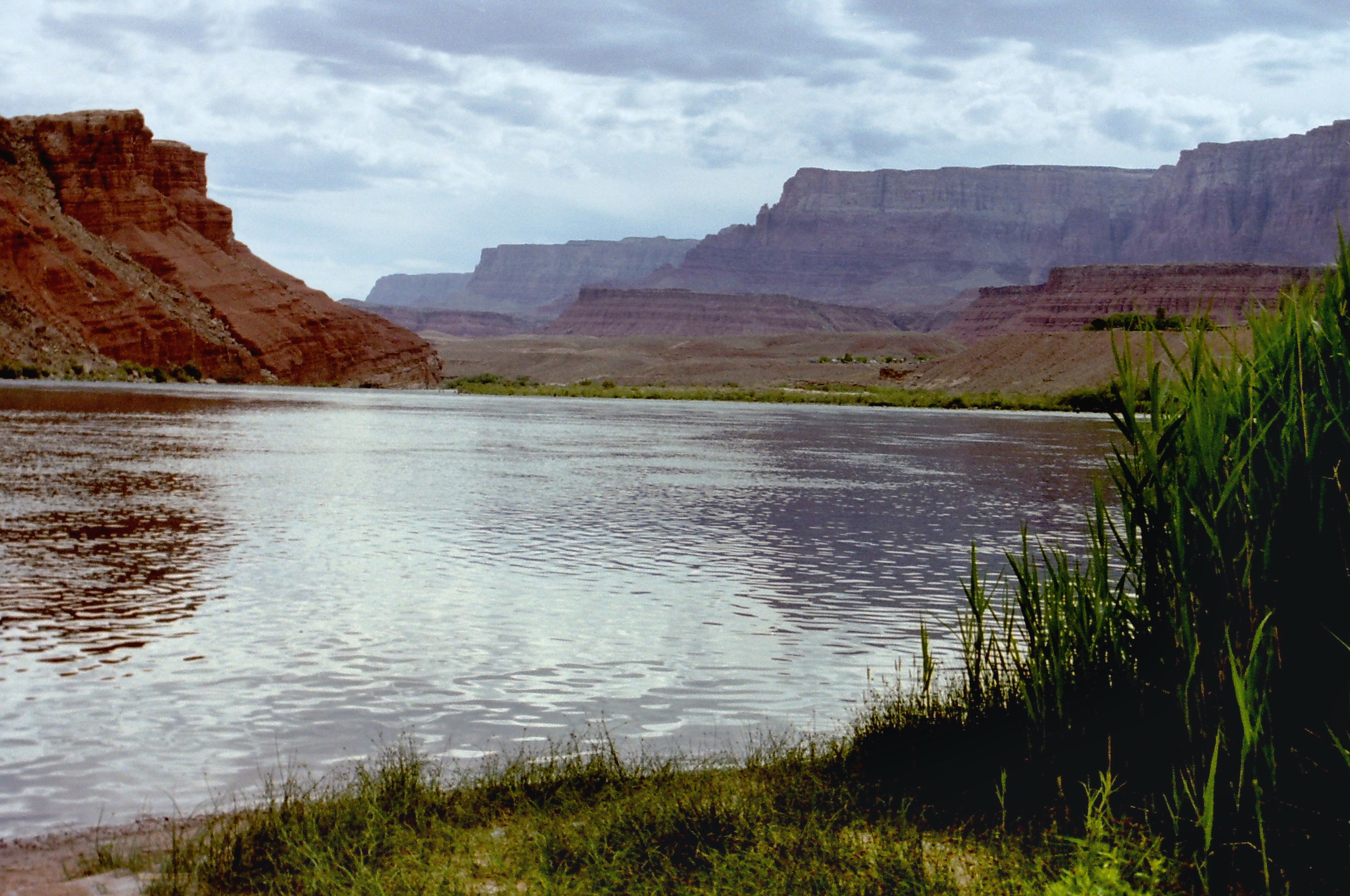
 Looking north. Navajo Dam is on the left side. | |
 Navajo Lake 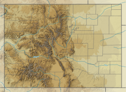 Navajo Lake  Navajo Lake | |
| Location | Rio Arriba / San Juan counties in New Mexico; Archuleta County in Colorado, United States |
| Coordinates | 36°50′52″N 107°37′07″W[1] |
| Type | reservoir |
| Primary inflows | San Juan River, Piedra River |
| Primary outflows | San Juan River |
| Catchment area | 3,190 sq mi (8,300 km2) |
| Basin countries | United States |
| Surface area | 15,600 acres (63 km2) |
| Water volume | 1,708,600 acre⋅ft (2.1075 km3) |
| Surface elevation | 6,035 ft (1,839 m) |

The construction of the dam and the resulting lake flooded and destroyed one of the Navajos' most sacred sites.[2]
The Lake and associated shoreline areas near the dam in New Mexico and the river shorelines below the dam are part of New Mexico's Navajo Lake State Park, while the Portion of the shoreline and portion of the lake that is located in Colorado make up Navajo State Park which is managed as part of the Colorado State Parks system. The lake has smallmouth bass, black crappie, northern pike, channel catfish, and trout. The waters of Navajo Lake forced hundreds of families to leave their homes and communities.[3] The four communities affected were Los Arboles, Los Pinos, Rose and Los Martinez.[4]The 1.7 million acre-foot reservoir displaced an unknown amount of farms and ranches.[5]It has been estimated that almost 200 mainly Hispanic families had to move.[6] Some families had been here nearly 80-90 years.[7]
See also
- List of largest reservoirs of Colorado
References
- U.S. Geological Survey Geographic Names Information System: Navajo Lake
- Linford, Laurance. Navajo Places. History, Legend, Landscape. University of Utah Press. Salt Lake City: 2000.
- Romeo, Jonathan. "Researchers record the stories of communities inundated by Navajo Lake". Durango Herald. Retrieved 2022-05-02.
- Romeo, Jonathan. "Researchers record the stories of communities inundated by Navajo Lake". Durango Herald. Retrieved 2022-05-02.
- Romeo, Jonathan. "Researchers record the stories of communities inundated by Navajo Lake". Durango Herald. Retrieved 2022-05-02.
- Romeo, Jonathan. "Researchers record the stories of communities inundated by Navajo Lake". Durango Herald. Retrieved 2022-05-02.
- Romeo, Jonathan. "Researchers record the stories of communities inundated by Navajo Lake". Durango Herald. Retrieved 2022-05-02.
External links
Colorado River system | |||||||||
|---|---|---|---|---|---|---|---|---|---|
| Jurisdictions |
|     | |||||||
| Canyons |
| ||||||||
| Natural features |
| ||||||||
| Tributaries |
| ||||||||
| Engineering |
| ||||||||
| Designated areas |
| ||||||||
| Related topics |
| ||||||||
| National Parks |
|
|---|---|
| National Historical Parks |
|
| National monuments |
|
| National Recreation Areas |
|
| National Trails |
|
| National Forests |
|
| National Grasslands |
|
| National Wildlife Refuges |
|
| National Conservation Areas |
|
| BLM National Monuments |
|
| National Natural Landmarks |
|
| National Preserves |
|
| Wilderness |
|
| Wild and Scenic Rivers |
|
| State Parks |
|
На других языках
- [en] Navajo Lake
[ru] Навахо (водохранилище)
Навахо (англ. Navajo Lake) — водохранилище в округах Сан-Хуан и Рио-Арриба штата Нью-Мексико, США. Часть водохранилища простирается также на территорию округа Арчулета штата Колорадо. Расположено на реке Сан-Хуан, которая является притоком реки Колорадо. Сформировано плотиной Навахо, которая расположена примерно в 48 км к востоку от города Фармингтон. Строительство плотины было завершено в 1962 году.Другой контент может иметь иную лицензию. Перед использованием материалов сайта WikiSort.org внимательно изучите правила лицензирования конкретных элементов наполнения сайта.
WikiSort.org - проект по пересортировке и дополнению контента Википедии