geo.wikisort.org - Reservoir
Lake Mainit is the fourth largest lake in the Philippines, having a surface area of 173.40 square kilometres (66.95 sq mi).[2][3][4] The lake is also the deepest lake in the country with maximum depth reaching 223 metres (732 ft).[2][5] It is located in the northeastern section of Mindanao and shared between the provinces of Surigao del Norte and Agusan del Norte.
| Lake Mainit | |
|---|---|
 | |
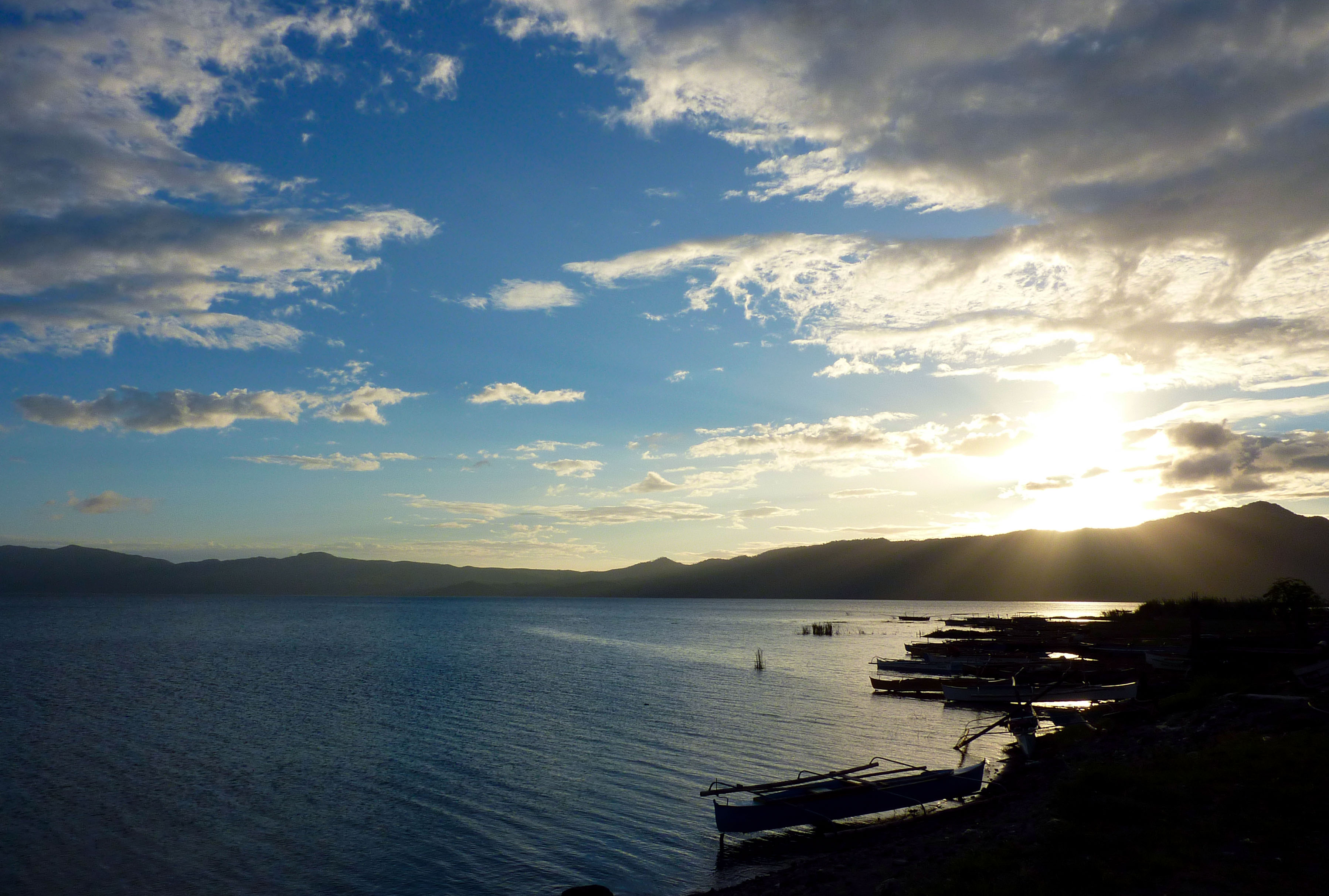
 Lake Mainit Location within the Philippines | |
| Location | Mindanao |
| Coordinates | 9°25′57″N 125°31′22″E |
| Type | Oligotrophic Freshwater lake |
| Primary inflows | 28 creeks and rivers |
| Primary outflows | Calinawan River |
| Catchment area | 87,072 ha (870.72 km2) |
| Basin countries | Philippines |
| Max. length | 29.10 km (18.08 mi) |
| Surface area | 17,340 ha (173.40 km2) |
| Average depth | 128 m (419.95 ft) |
| Max. depth | 223 m (731.63 ft) |
| Water volume | 18.00 km3 (4.32 cu mi) |
| Shore length1 | 62.10 km (38.59 mi) |
| Surface elevation | 42 m (137.80 ft) |
| Settlements |
|
| References | [1][2] |
 | |
| 1 Shore length is not a well-defined measure. | |
Etymology
The name of the lake is a Visayan word mainit, which means "hot".[6][better source needed]
Flora and fauna
Plants
- Fire orchid (Vanda hookeriana)
- Narra tree (Pterocarpus indicus)
- Molave tree (Vitex parviflora)
- Philippine rosewood or "toog"
- Kamagong
- Mancono
- Malabayabas (Eucalyptus spp.)
- Indian lotus (Nelumbo nucifera)
Animals
- Animals
- Mindanao scops owl
- Mindanao savanna nightjar
- Mindanao Himalayan swiftlet
- Mindanao forest kingfisher
- White-breasted sea eagle (Haliaeetus leucogaster)
- Monkeys
- Wild pigs
- Fish
- "Casili" (Anguilla spp.)
- Mudfish, "hayuan" or "halwan" (Channa striata)
- Gurami (Gourami belontiidae)
- "Bolinao" (Neostethus thessa)
- Common carp (Cyprinus carpio)
- "Tilapia" (Oreochromis niloticus)
List
Municipalities bordering the lake
- Mainit, Surigao del Norte
- Alegria, Surigao del Norte
- Jabonga, Agusan del Norte
- Kitcharao, Agusan del Norte
Municipalities within Lake Mainit's watershed
- Alegria,[7] Surigao del Norte,
- Sison, Surigao del Norte
- Tubod, Surigao del Norte
- Mainit, Surigao del Norte
- Kitcharao, Agusan del Norte
- Jabonga, Agusan del Norte
- Santiago, Agusan del Norte
- Tubay, Agusan del Norte
References
- "Philippine Lakes - Lake Look to Lake Pandin". Retrieved 17 October 2008.
- "Physical Features of Lake Mainit". Lake Mainit Development Alliance (LMDA). 8 February 2008. Retrieved 17 October 2008.
- "Lake Mainit". ASEAN Regional Centre for Biodiversity Conservation (ARCBC). Retrieved 17 October 2008.
- "Lake Mainit". Encyclopædia Britannica. Retrieved 17 October 2008.
- "Lake Mainit". BIMP-EAGA. Archived from the original on 30 October 2008. Retrieved 17 October 2008.
- "How Mainit got its name?".
- "Municipality of Alegria". Municipality of Alegria.
Further reading
- A Directory of Philippine Wetlands. Vol I, compiled by Davies, J. et al. (Asian Wetland Bureau Philippines Foundation, Inc, 1991)
- Webpage on Lake Minit (cited part available online)
External links
 Geographic data related to Lake Mainit at OpenStreetMap
- Lake Mainit Updates
- Lake Mainit Development Alliance
- LMDA Updates
| Major | |
|---|---|
| Minor |
|
| Artificial | |
This article about a location in Caraga region is a stub. You can help Wikipedia by expanding it. |
На других языках
[de] Mainit-See
Der Mainit-See ist der viertgrößte See der Philippinen und befindet sich im Nordosten der Insel Mindanao. Er nimmt eine Gesamtfläche von 173,4 km² ein und hat eine maximale Tiefe von 223 m.- [en] Lake Mainit
Текст в блоке "Читать" взят с сайта "Википедия" и доступен по лицензии Creative Commons Attribution-ShareAlike; в отдельных случаях могут действовать дополнительные условия.
Другой контент может иметь иную лицензию. Перед использованием материалов сайта WikiSort.org внимательно изучите правила лицензирования конкретных элементов наполнения сайта.
Другой контент может иметь иную лицензию. Перед использованием материалов сайта WikiSort.org внимательно изучите правила лицензирования конкретных элементов наполнения сайта.
2019-2026
WikiSort.org - проект по пересортировке и дополнению контента Википедии
WikiSort.org - проект по пересортировке и дополнению контента Википедии