geo.wikisort.org - Reservoir
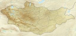
Khar Lake (Mongolian: Хар нуур, lit. "black lake"is located in the Khovd aimag (province) in western Mongolia's Great Lakes Depression.
| Khar Lake | |
|---|---|
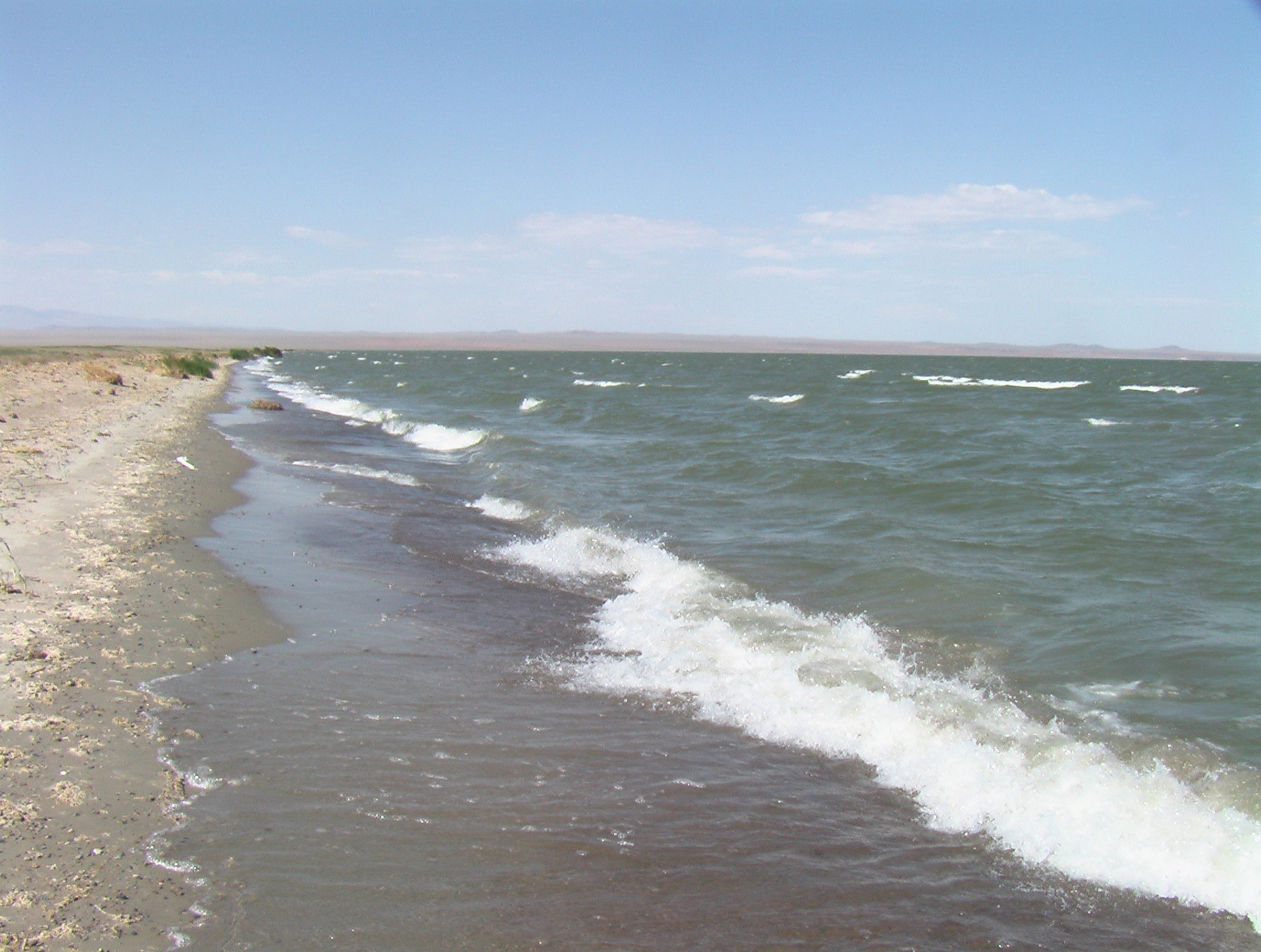 The western shore of Khar Nuur | |
 Khar Lake | |
| Location | Great Lakes Depression, Western Mongolia |
| Coordinates | 48.08°N 93.2°E |
| Lake type | eutrophic |
| Primary inflows | Chono Kharaikh Gol |
| Primary outflows | Teeliin Gol |
| Catchment area | 76,800 km2 (29,700 sq mi)[1] |
| Basin countries | Mongolia, Russia[2] |
| Max. length | 37 km (23 mi) |
| Max. width | 24 km (15 mi) |
| Surface area | 575 km2 (222 sq mi) |
| Average depth | 4.2 m (14 ft) |
| Max. depth | 7 m (23 ft) |
| Water volume | 2.422 km3 (0.581 cu mi) |
| Residence time | 1.7 years |
| Surface elevation | 1,132.3 m (3,715 ft) |
| Frozen | December - April |
Name
It is also known as Ha-la Hu, Hara Nuur, Har Nuur, Khara Nur, Khar Nuur, and Ozero Kara-Nor[3]
It should be distinguished from the similarly named Khar Lake (Zavkhan), another lake further east in Mongolia.
Description
It is part of a group of lakes that were once part of a larger prehistoric lake that disappeared 5,000 years ago as the region became drier.
Some sources are using different Khar Lake statistics values:[4]
- Water level: 1,134.08 m
- Surface area: 565.2 km²
- Average depth: 4.14 m
- Volume: 2.34 km³.
Water Balance
| Surface input | Surface output | Groundwater inflow- outflow |
Retention time, years | ||
|---|---|---|---|---|---|
| Precipitation | Inflow | Evaporation | Outflow | ||
| 54.0 | 1,786.9 | 1,117.8 | 1,287.9 | +564.8 | 1.7 |
Khar Lake has a single inflow - Chono Kharaikh Gol river, which creates a river delta.

Khar Lake has a connection to Dörgön Nuur south of it.
References
- includes 74,500 km² of Khar-Us Nuur lake catchment area
- Russian part of the catchment area belongs to the Khar-Us Nuur lake catchment area.
- Geody. "Ha-la Hu / Hara Nuur / Har Nuur / Khara Nur / Khar Nuur / Ozero Kara-Nor, Mongolia, Earth - Geody". www.geody.com. Retrieved 2017-02-09.
- "Surface Water of Mongolia", Gombo Davaa, Dambaravjaa Oyunbaatar, Michiaki Sugita
External links
This Mongolia location article is a stub. You can help Wikipedia by expanding it. |
На других языках
- [en] Khar Lake (Khovd)
[it] Har Nuur (Hovd)
Il lago Har nuur (in mongolo: Хар нуур, "lago nero") si trova in Mongolia occidentale, nella valle dei laghi un bacino chiuso situato a nord-est della catena montuosa dell'Altaj e al confine nord-orientale della provincia di Hovd, tra il distretto di Dôrgôn e quello di Čandman'.[ru] Хар-Нуур (бассейн Тээла)
Хар-Нуур[1][2] (ранее именовалось по-русски Ха́ра-Нур[3]; монг. Хар нуур — «Чёрное озеро») — пресноводное озеро на западе Котловины Больших озёр в Монголии.Другой контент может иметь иную лицензию. Перед использованием материалов сайта WikiSort.org внимательно изучите правила лицензирования конкретных элементов наполнения сайта.
WikiSort.org - проект по пересортировке и дополнению контента Википедии