geo.wikisort.org - Reservoir
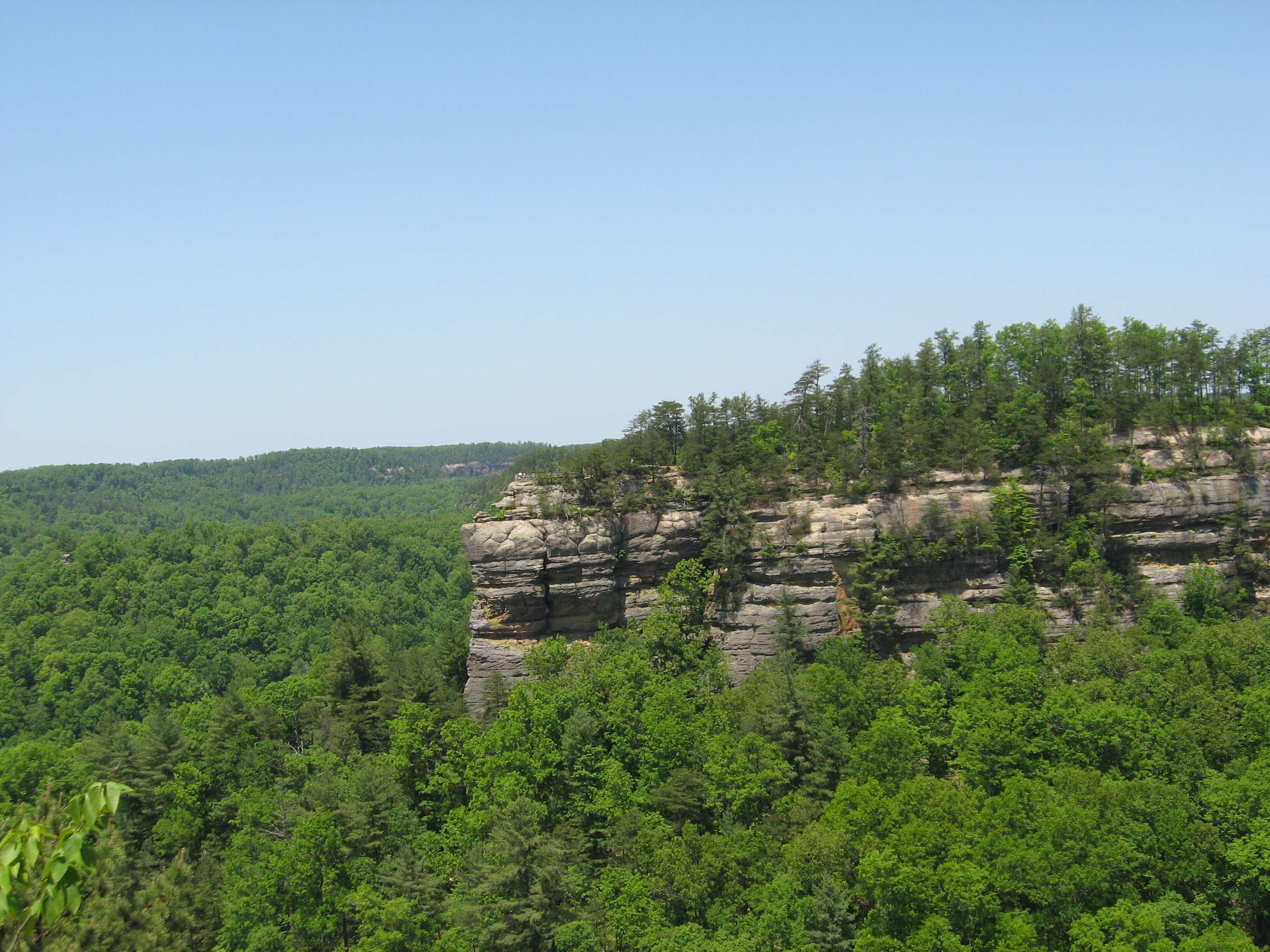
Grayson Lake is a 1,500-acre (6.1 km2) reservoir in Carter and Elliott counties in Kentucky. It was created by the United States Army Corps of Engineers in 1968 by impounding the Little Sandy River[2] with the Grayson Dam, an earthen structure 120 feet high, creating a maximum capacity of 118,990 acre-feet. Sections of Kentucky Route 7 were re-routed as a result of the lake's creation. KY 7 now traverses a modern highway stretch around the park, crossing the dam also.
| Grayson Lake | |
|---|---|
 Lake and Dam | |
 Grayson Lake | |
| Location | Carter / Elliott counties, Kentucky, United States |
| Coordinates | 38°15′5.5″N 82°59′1.88″W |
| Type | artificial lake |
| Primary inflows | Little Sandy River |
| Primary outflows | Little Sandy River |
| Basin countries | United States |
| Surface area | 1,500 acres (6.1 km2) |
| Max. depth | 60 feet (18 m)[1] |
The lake is the major attraction of Grayson Lake State Park.[3]

See also
- Grayson Lake State Park
References
- "Fishing and Boating Grayson Lake Kentucky".
- Kleber, John E., ed. (1992). "Lakes". The Kentucky Encyclopedia. Associate editors: Thomas D. Clark, Lowell H. Harrison, and James C. Klotter. Lexington, Kentucky: The University Press of Kentucky. ISBN 0-8131-1772-0.
- "Grayson Lake State Park". Kentucky Department of Parks. 2005-10-10. Retrieved 2007-02-17.
External links

Visitor attractions of the Eastern Kentucky Coalfield | ||||||||
|---|---|---|---|---|---|---|---|---|
| Parks |
|      | ||||||
| Museums |
| |||||||
| Forests |
| |||||||
| Reservoirs | ||||||||
| Natural features |
| |||||||
| Miscellaneous |
| |||||||
| Authority control |
|
|---|
This Carter County, Kentucky state location article is a stub. You can help Wikipedia by expanding it. |
This Elliott County, Kentucky state location article is a stub. You can help Wikipedia by expanding it. |
Текст в блоке "Читать" взят с сайта "Википедия" и доступен по лицензии Creative Commons Attribution-ShareAlike; в отдельных случаях могут действовать дополнительные условия.
Другой контент может иметь иную лицензию. Перед использованием материалов сайта WikiSort.org внимательно изучите правила лицензирования конкретных элементов наполнения сайта.
Другой контент может иметь иную лицензию. Перед использованием материалов сайта WikiSort.org внимательно изучите правила лицензирования конкретных элементов наполнения сайта.
2019-2025
WikiSort.org - проект по пересортировке и дополнению контента Википедии
WikiSort.org - проект по пересортировке и дополнению контента Википедии