geo.wikisort.org - Reservoir
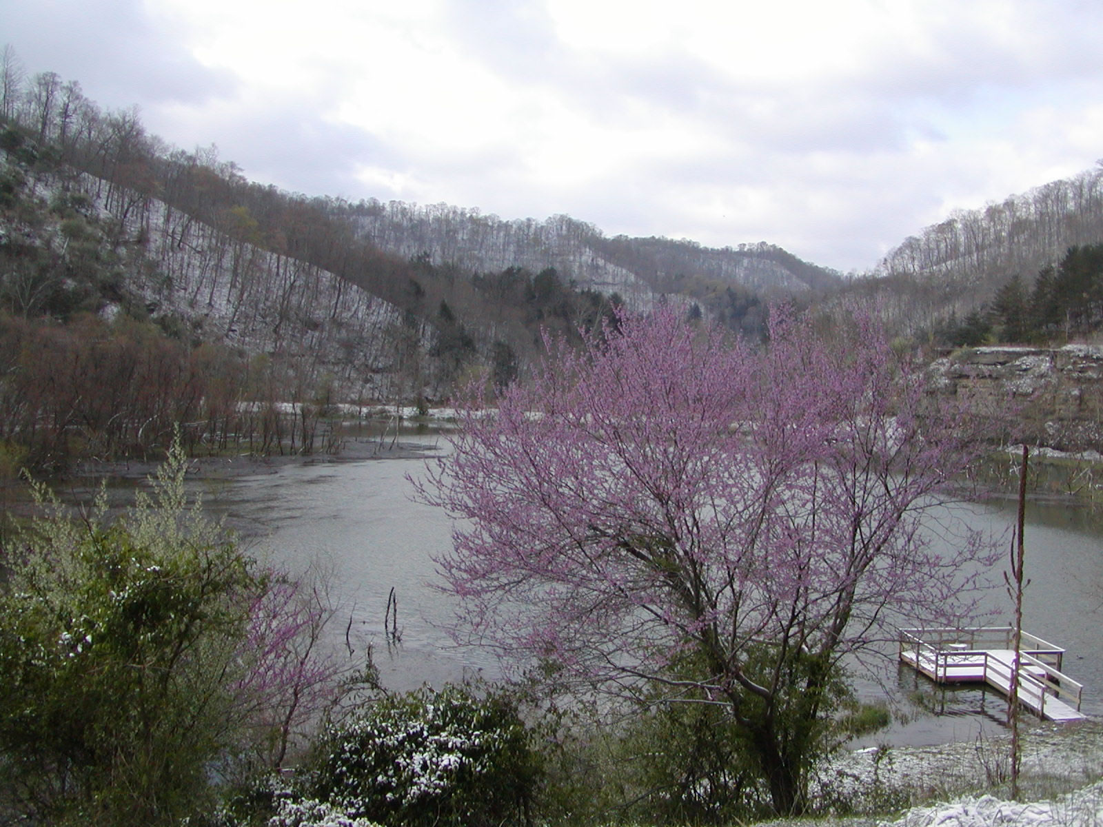
Carr Creek Lake (formerly Carr Fork Lake), located east of Hazard, Kentucky, along Kentucky Route 15 in Knott County, is a 710 acres (3 km2) reservoir created by the U.S. Army Corps of Engineers in 1976.[1] Carr Creek Lake's earth and rock fill dam is 130 ft (40 m) tall and 720 ft (219 m) long, and the dam is located 8.8 mi (14 km) above the mouth of Carr Fork River, a tributary of the North Fork Kentucky River.[2]
| Carr Creek Lake | |
|---|---|
 | |
 Carr Creek Lake | |
| Location | Knott County, Kentucky |
| Coordinates | 37.235°N 83.003°W |
| Type | reservoir |
| Basin countries | United States |
| Surface area | 710 acres (3 km2) |
The lake is the main attraction of Carr Creek State Park.[3]
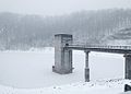 Control tower at Carr Creek Dam

References
- Kleber, John E., ed. (1992). "Lakes". The Kentucky Encyclopedia. Associate editors: Thomas D. Clark, Lowell H. Harrison, and James C. Klotter. Lexington, Kentucky: The University Press of Kentucky. ISBN 0-8131-1772-0.
- "Carr Creek Lake". U.S. Army Corps of Engineers. Retrieved 2007-02-17.
- "Carr Creek State Park". Kentucky Department of Parks. 2005-10-10. Archived from the original on 2007-02-04. Retrieved 2007-02-17.
External links

Visitor attractions of the Eastern Kentucky Coalfield | ||||||||
|---|---|---|---|---|---|---|---|---|
| Parks |
|      | ||||||
| Museums |
| |||||||
| Forests |
| |||||||
| Reservoirs | ||||||||
| Natural features |
| |||||||
| Miscellaneous |
| |||||||
This Knott County, Kentucky state location article is a stub. You can help Wikipedia by expanding it. |
Текст в блоке "Читать" взят с сайта "Википедия" и доступен по лицензии Creative Commons Attribution-ShareAlike; в отдельных случаях могут действовать дополнительные условия.
Другой контент может иметь иную лицензию. Перед использованием материалов сайта WikiSort.org внимательно изучите правила лицензирования конкретных элементов наполнения сайта.
Другой контент может иметь иную лицензию. Перед использованием материалов сайта WikiSort.org внимательно изучите правила лицензирования конкретных элементов наполнения сайта.
2019-2025
WikiSort.org - проект по пересортировке и дополнению контента Википедии
WikiSort.org - проект по пересортировке и дополнению контента Википедии