geo.wikisort.org - Mountains
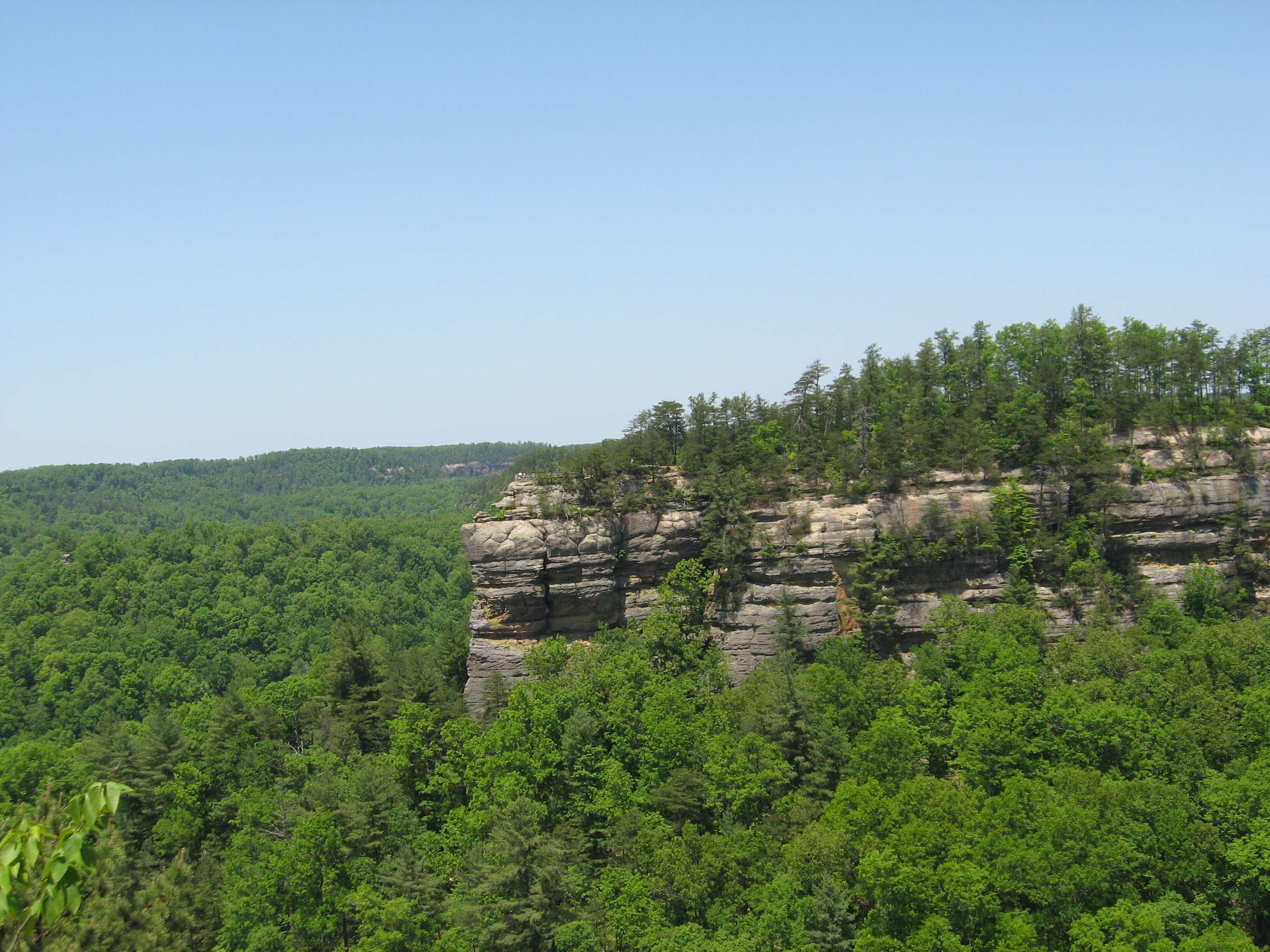
Tri-State Peak is a mountain located in the Cumberland Gap National Historical Park, near the "saddle" of the gap. It gets its name from being on the tripoint of the states of Kentucky, Tennessee, and Virginia.
| Tri-State Peak | |
|---|---|
 The summit of Tri-State Peak | |
| Highest point | |
| Elevation | 1,990 ft (610 m)[1] |
| Coordinates | 36°36′03″N 83°40′28″W |
| Geography | |
| Location | Cumberland Gap National Historical Park, Bell County, Kentucky, Claiborne County, Tennessee, and Lee County, Virginia, United States |
| Parent range | Cumberland Mountains |
| Climbing | |
| Easiest route | Tri-State Peak Trail |
The elevation at the tri-state marker is 1,990 feet (610 m).[2] The marker can be accessed via the "tri-state peak trail," (via connections with the Gap trail and the Object Lesson Road trail) and is about 1.2 miles (1.9 km) from the park's visitor's center.[3]
The site also includes a marker denoting the location as being on the "Royal Colonial Boundary of 1665," which was marked by the American Society of Civil Engineers.
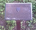 Royal Colonial Boundary of 1665 plaque
 Marker for Tennessee at Tri-State Peak
 Marker for the KY-TN-VA tripoint


See also
- Tri-state area
References
- United States Geological Survey (2016). Middlesboro South (PDF) (Topographic map). 1:24,000. 7.5 Minute Series. Reston, VA: United States Geological Survey. Retrieved October 21, 2020.
- "Tri-State Peak at Cumberland Gap". Archived from the original on 2007-02-10.
- "Trails at Cumberland Gap". Archived from the original on 2007-02-10.
Visitor attractions of the Eastern Kentucky Coalfield | ||||||||
|---|---|---|---|---|---|---|---|---|
| Parks |
|      | ||||||
| Museums |
| |||||||
| Forests |
| |||||||
| Reservoirs | ||||||||
| Natural features |
| |||||||
| Miscellaneous |
| |||||||
Mountains of Kentucky | |
|---|---|
This Bell County, Kentucky state location article is a stub. You can help Wikipedia by expanding it. |
This Claiborne County, Tennessee geography–related article is a stub. You can help Wikipedia by expanding it. |
This Lee County, Virginia state location article is a stub. You can help Wikipedia by expanding it. |
Другой контент может иметь иную лицензию. Перед использованием материалов сайта WikiSort.org внимательно изучите правила лицензирования конкретных элементов наполнения сайта.
WikiSort.org - проект по пересортировке и дополнению контента Википедии