geo.wikisort.org - Reservoir
Dewey Lake, located near Prestonsburg, Kentucky in Floyd County, is part of the integrated flood reduction system operated by the United States Army Corps of Engineers for the entire Ohio River Basin.[2]
| Dewey Lake | |
|---|---|
 Lake and dam | |
 Dewey Lake | |
| Location | Floyd County, Kentucky |
| Coordinates | 37°44′08″N 82°43′40″W |
| Type | reservoir |
| Primary inflows | John's Creek |
| Primary outflows | John's Creek |
| Basin countries | United States |
| Surface area | 1,100 acres (4 km2) |
| Average depth | 40 feet (12 m) [1] |
| Water volume | Maximum: 93,000 acre⋅ft (0.115 km3) |
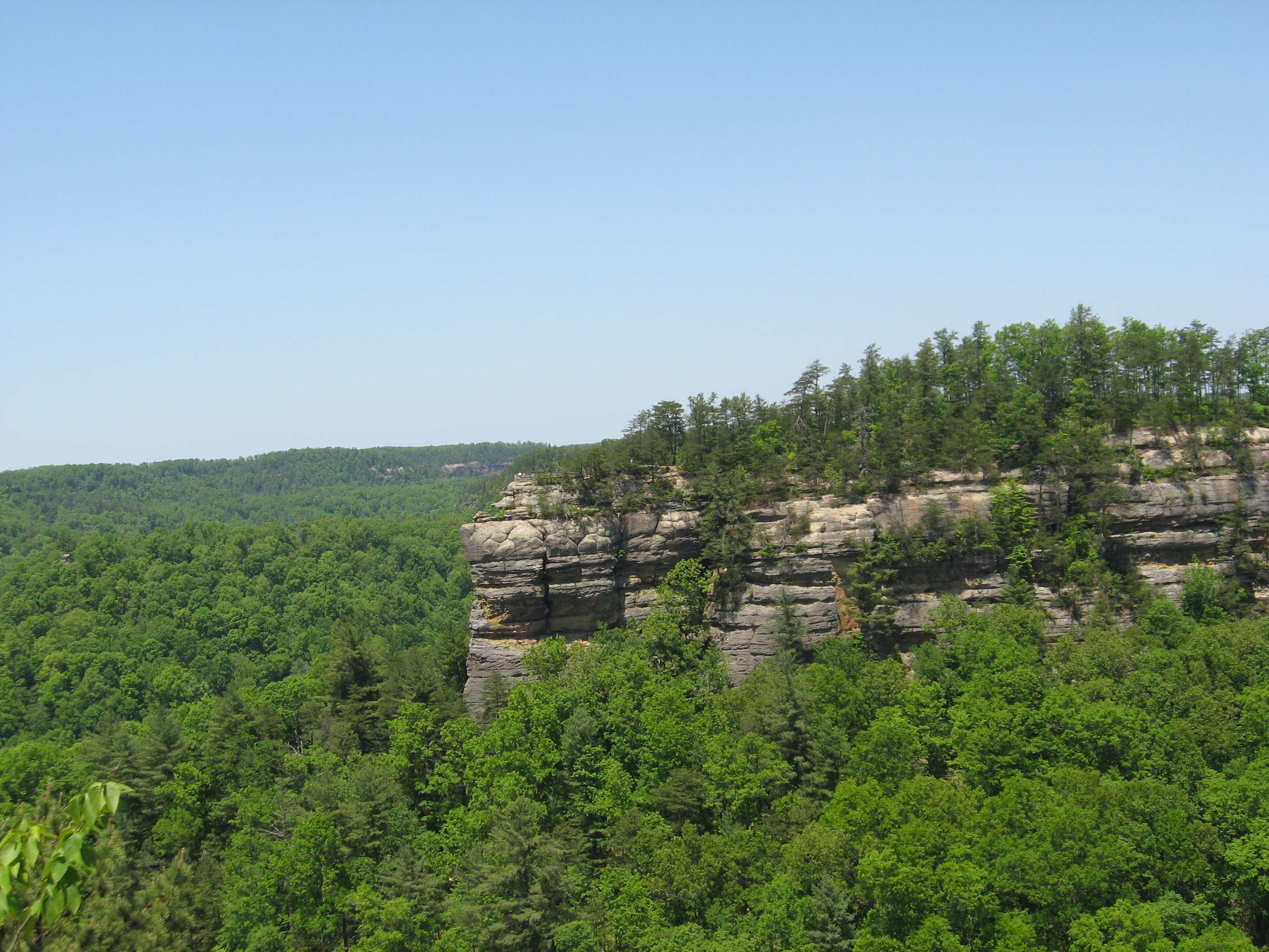
The 1,100-acre (4 km2) lake was formed by impounding John's Creek in 1949, and was named for Admiral George Dewey.[3] Dewey Dam (National ID # KY03029) is an earthen dam, 118 feet high. The length of the lake is 18.5 miles upstream from the dam and its water shed covers 207 square miles.[2]
Jenny Wiley State Resort Park is located on Dewey Lake.
Recreation
The largest tiger muskie ever taken in the state of Kentucky (13 lb., 12 oz.) was caught in Dewey Lake.[4]
References
- "Fishing and Boating Dewey Lake Kentucky".
- "Dewey Lake". United States Army Corps of Engineers. Retrieved 2020-04-05.
- Kleber, John E., ed. (1992). "Lakes". The Kentucky Encyclopedia. Associate editors: Thomas D. Clark, Lowell H. Harrison, and James C. Klotter. Lexington, Kentucky: The University Press of Kentucky. ISBN 0-8131-1772-0.
- "Kentucky State Record Fish List". Kentucky Department of Fish and Wildlife Resources. 2006-04-17. Archived from the original on 2007-02-10. Retrieved 2007-02-17.

Visitor attractions of the Eastern Kentucky Coalfield | ||||||||
|---|---|---|---|---|---|---|---|---|
| Parks |
|      | ||||||
| Museums |
| |||||||
| Forests |
| |||||||
| Reservoirs | ||||||||
| Natural features |
| |||||||
| Miscellaneous |
| |||||||
This Floyd County, Kentucky state location article is a stub. You can help Wikipedia by expanding it. |
Другой контент может иметь иную лицензию. Перед использованием материалов сайта WikiSort.org внимательно изучите правила лицензирования конкретных элементов наполнения сайта.
WikiSort.org - проект по пересортировке и дополнению контента Википедии