geo.wikisort.org - Mountains
Pyroclastic Peak is the second highest of the five named volcanic peaks immediately south of Mount Cayley in British Columbia, Canada. It is steep and rotten and is located 12 km (7 mi) southwest of Callaghan Lake and 24 km (15 mi) west of Whistler. It is part of the Pacific Ring of Fire that includes over 160 active volcanoes.
| Pyroclastic Peak | |
|---|---|
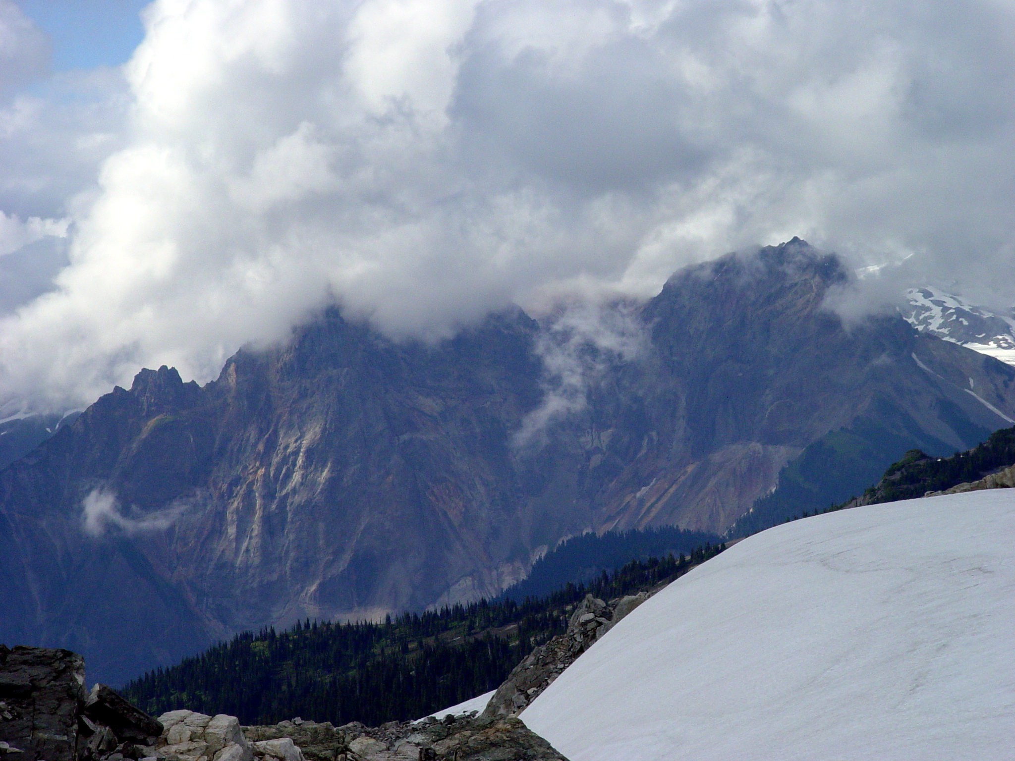 South face of Pyroclastic Peak | |
| Highest point | |
| Elevation | 2,349 m (7,707 ft) |
| Prominence | 145 m (476 ft) |
| Coordinates | 50°06′51.8″N 123°17′34.1″W |
| Geography | |
| Location | British Columbia, Canada |
| District | New Westminster Land District |
| Parent range | Pacific Ranges |
| Topo map | NTS 92J3 Brandywine Falls |
| Geology | |
| Age of rock | Pleistocene |
| Mountain type | Stratovolcano |
| Volcanic arc/belt | Canadian Cascade ArcGaribaldi Volcanic Belt |
| Last eruption | Pleistocene |
| Climbing | |
| First ascent | 1971 R. Chicoine; F. Douglas; R. Wyborn[1] |
On the south ridge of Pyroclastic Peak is a feature known as The Vulcan's Thumb which remains unclimbed[1] because of the looseness of the rock.
See also
- Cascade Volcanoes
- Mount Cayley
- Garibaldi Volcanic Belt
- Volcanism of Canada
- Volcanism of Western Canada
- List of volcanoes in Canada
References
- "Pyroclastic Peak". Bivouac.com. Retrieved 2007-05-01.
This article about a location on the Coast of British Columbia, Canada is a stub. You can help Wikipedia by expanding it. |
На других языках
- [en] Pyroclastic Peak
[fr] Pic Pyroclastic
Le pic Pyroclastic est le deuxième sommet le plus élevé des cinq sommets volcaniques principaux du mont Cayley.Текст в блоке "Читать" взят с сайта "Википедия" и доступен по лицензии Creative Commons Attribution-ShareAlike; в отдельных случаях могут действовать дополнительные условия.
Другой контент может иметь иную лицензию. Перед использованием материалов сайта WikiSort.org внимательно изучите правила лицензирования конкретных элементов наполнения сайта.
Другой контент может иметь иную лицензию. Перед использованием материалов сайта WikiSort.org внимательно изучите правила лицензирования конкретных элементов наполнения сайта.
2019-2026
WikiSort.org - проект по пересортировке и дополнению контента Википедии
WikiSort.org - проект по пересортировке и дополнению контента Википедии