geo.wikisort.org - Mountains
Mount Seymour is a mountain located in Mount Seymour Provincial Park in the District of North Vancouver, British Columbia, Canada. It is a part of the North Shore Mountains, rising to the north from the shores of Burrard Inlet and Indian Arm to a summit of 1,449 m (4,754 ft) above the Indian River and Deep Cove neighbourhoods. Mount Seymour is most commonly identified for its ski area of the same name, and as a popular hiking area. It is named in honour of Frederick Seymour, second governor of the Colony of British Columbia. The name is used to refer to the ridge although the main summit is one of several, and is also known as Third Peak.
| Mount Seymour | |
|---|---|
 View from Pump Peak, the first of two subpeaks of Mount Seymour. | |
| Highest point | |
| Elevation | 1,449 m (4,754 ft)[1] |
| Prominence | 453 m (1,486 ft)[1] |
| Listing | Mountains of British Columbia |
| Coordinates | 49°23′36″N 122°56′40″W[2] |
| Geography | |
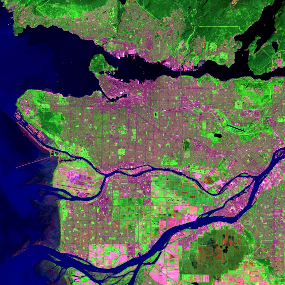
 Mount Seymour Location in Metro Vancouver | |
| Location | British Columbia, Canada |
| District | New Westminster Land District |
| Parent range | Fannin Range |
| Topo map | NTS 92G7 Port Coquitlam[2] |
| Climbing | |
| First ascent | 1908 C. Chapman; B. Darling; W. Gray; G. Harrow; R. Mills |
| Mount Seymour Ski Area | |
|---|---|
| Location | British Columbia, Canada |
| Nearest major city | North Vancouver |
| Coordinates | 49°23′46″N 122°56′40″W |
| Vertical | 330 m (1,083 ft) |
| Top elevation | 1,265 m (4,150 ft) |
| Base elevation | 935 m (3,068 ft) |
| Skiable area | 81 ha (200 acres) |
| Runs | 23 total 22% beginner 61% intermediate 17% expert |
| Longest run | 1.6 km (1 mi) |
| Lift system | 5 total 1 high speed detachable quad 2 double chairlifts 2 magic carpets |
| Snowfall | 1,200 cm (472 in) |
| Website | Mt. Seymour |
History
The mountain opened for skiing in 1938 under the ownership of the Swedish emigrant, Harald Enqvist, with a cafeteria and ski rental. A few years later, in 1949, the Government of British Columbia bought the ski area. The Government did not have the experience to run a ski area, so, they issued Mr. Enqvist the first Park Use Permit to operate the area. When the permit expired in 1951, the government found a concessionaire, who was put in charge of running the lifts, ski school and cafeteria. The name Enqvist was later spelled Enquist giving name to "The Enquist Lodge" and "Enquist Tube Park" among other facilities. The government retained overall ownership until 1984, when it privatized its operation as part of a cost-cutting measure.
The ski area has been run by the Wood family since 1984. They installed the Lodge chairlift in 1986 and the Brockton chairlift in the early 1990s.[3] Starting in the 2010s, the mountain has been more aggressively upgraded. The original Mystery Peak chairlift was removed in 2012 and replaced with a high-speed quad, while the Goldie rope tow was replaced with a magic carpet.

On January 19, 2014, Tim Jones died while coming down from the North Shore Rescue team cabin on Mount Seymour. Tim had saved many lives on the mountain over the years. Shortly after his passing a community movement was formed to name the yet unnamed Second Peak of Seymour after him. This movement has gained a lot of traction in the community and has resulted in Bivouac.com changing the name on their mountain database.[4][5][6]
Vegetation
Recreation
Facilities
This section does not cite any sources. (March 2020) |
The Mount Seymour ski area has four lifts, the Mystery Peak Express high-speed quad chairlift, Brockton and Lodge double chairlifts, and the Goldie Lake covered magic carpet. Another double chairlift, the Ridge Chair, was destroyed in a windstorm in 1998, and is currently still standing, though gradually rotting away. Another beginner lift, the Goldie Ropetow was removed in 2011 replaced by the magic carpet. The area offers 330 m (1,083 ft) of vertical drop and about 1,000 cm (394 in) of annual snowfall. Skiing and snowboarding are available on 40 marked trails and many unmarked routes. The longest trail is 1.6 km (1 mi) long (Unicorn) and 18 of the trails have night lighting. Four additional terrain parks exist for freestyle activities. Terrain has also been developed for snowtubing and tobogganing.
Guided and unguided snowshoeing takes place on a separate 10 km (6 mi) network of maintained trails. Backcountry access for snowshoeing and camping is permitted.
Mount Seymour's Enquist Cabin, located in the Tube Park Parking Lot was destroyed in a fire in the late spring of 2005. The cabin was available for rental and was the home of the Mount Seymour Ski Club. This cabin has been rebuilt, and has been in operation since the beginning of the 2010/2011 season.
Snow depth
Mount Seymour has three weather stations: one at the bottom of the Mystery Peak Chairlift, one near tower 9 of the Mystery Peak Chairlift, and one just below Brockton Point which is the top lift station of the Brockton Chairlift. Except for the unusually warm winter of 2014-2015, there is usually a snow depth of 500 cm (197 in) or more at the Brockton weather station.
BCRFC historical records (from 1960 to 1989) report that Mount Seymour's average snow base has been 160 cm (63 in) on January 1, increasing through winter and spring to 345 cm (136 in) on May 1.[7]
Broadcasting
Several Vancouver-area broadcasters use transmission towers located on Mount Seymour. On 16 December 1953, the first television broadcast in Western Canada was transmitted from this site by the Canadian Broadcasting Corporation's CBUT Channel 2. The CBC broadcasting site on Mount Seymour was both the first television broadcasting site in Western Canada and the first high elevation/mountain top broadcasting site in Canada.[8]
FM stations
- CBU-2-FM 88.1 (CBC Radio One)
- CBUX-FM 90.9 (ICI Musique)
- CKYE-FM 93.1 (Red FM)
- CJJR-FM 93.7 (JR-FM)
- CFBT-FM 94.5 (Virgin Radio 94.5)
- CKZZ-FM 95.3 (Z 95.3)
- CHKG-FM 96.1 (Fairchild Radio)
- CJAX-FM 96.9 (Jack FM)
- CBUF-FM 97.7 (ICI Radio-Canada Première)
- CFOX-FM 99.3 (99.3 The Fox)
- CFMI-FM 101.1 (Rock 101)
- CKPK-FM 102.7 (The Peak)
- CHQM-FM 103.5 (103.5 QM/FM)
- CHHR-FM 104.3 (LG 104.3 FM)
- CKKS-FM-2 104.9 (Kiss Radio)
- CBU-FM 105.7 (CBC Radio 2)
- CKAV-FM-2 106.3 (Aboriginal Voices Radio)
TV stations
- CBUT-DT (CBC): UHF 35 (digital)
- CHAN-DT (Global): UHF 22 (digital)
- CIVI-DT-2 (rebroadcaster of CIVI-TV, CTV Two): UHF 17 (digital)
- CBUFT-DT (Radio-Canada): UHF 26 (digital)
- CIVT-DT (CTV): UHF 32 (digital)
- CHNM-DT (OMNI): UHF 20 (digital)
- CKVU-DT ("Citytv"): UHF 33 (digital)
Filming location
Due to its easy road access and ample parking lots, Mount Seymour is often used as a filming location. Films and TV series shot using its forests, snowy slopes and region-spanning vistas include:
- MacGyver
- Highlander: The Series
- Pathfinder
- Stargate SG-1
- X-Files
- Hot Tub Time Machine
- The Twilight Saga: Eclipse
See also
- List of ski areas and resorts in Canada
- Grouse Mountain
- Cypress Mountain
References
- "Mount Seymour". Bivouac.com. Retrieved 2020-01-14.
- "Mount Seymour". Geographical Names Data Base. Natural Resources Canada. Retrieved 2020-01-14.
- "Last Ride on Historical Mystery Chair Lift". youtube.com. April 19, 2012. Archived from the original on 2021-12-12. Retrieved 2020-01-14.
- "Tim Jones Peak". Bivouac.com. Retrieved 6 March 2014.
- Woo, Andrea (February 7, 2014). "Tim Jones obituary: His life was saving the lives of others". Globe and Mail. Retrieved 6 March 2014.
- "North Shore Rescue supports naming 2nd peak of Mt. Seymour after Tim Jones". Global BC. January 30, 2014. Retrieved 6 March 2014.
- "Historical Snowdepth Comparison along the Cascade Range" (PDF). skimountaineer.com. Archived from the original (PDF) on 2006-05-25.
- "Milestones:First Television Broadcast in Western Canada". IEEE Global History Network. Institute of Electrical and Electronics Engineers (IEEE). Retrieved 6 April 2014.
External links
- "Mount Seymour". Bivouac.com.
- "Mount Seymour". BC Geographical Names.
- LiveTrails: Mount Seymour
- Mount Seymour Ski Resort Official Site
- Mount Seymour Ski Club Mount Seymour Ski Club Official Site
- Mount Seymour Hiking Trail Route Description
Landmarks in Greater Vancouver | ||
|---|---|---|
| Buildings |
|  |
| Bridges |
| |
| Locations |
| |
| Natural |
| |
На других языках
[de] Mount Seymour
Der Mount Seymour ist ein 1449 m hoher Berg in der kanadischen Provinz British Columbia, im Mount Seymour Provincial Park.- [en] Mount Seymour
[es] Monte Seymour
El monte Seymour es una montaña situada en el parque provincial del Monte Seymour en el Distrito de North Vancouver, Columbia Británica. Es una parte de las montañas de North Shore, pasando al norte de la costa del Burrard Inlet y del Brazo India, a la cumbre de 1449 msnm por encima del río Indio y de los suburbios de Deep Cove.[fr] Mont Seymour
Le mont Seymour (Mount Seymour) est une montagne de la Colombie-Britannique faisant partie des montagnes North Shore, située dans le district de North Vancouver. Il a été nommé en l'honneur de Frederick Seymour, deuxième gouverneur de la colonie de la Colombie-Britannique. Plusieurs tours de transmission de stations de radio et de télévision de Vancouver y sont situées.Другой контент может иметь иную лицензию. Перед использованием материалов сайта WikiSort.org внимательно изучите правила лицензирования конкретных элементов наполнения сайта.
WikiSort.org - проект по пересортировке и дополнению контента Википедии