geo.wikisort.org - Mountains
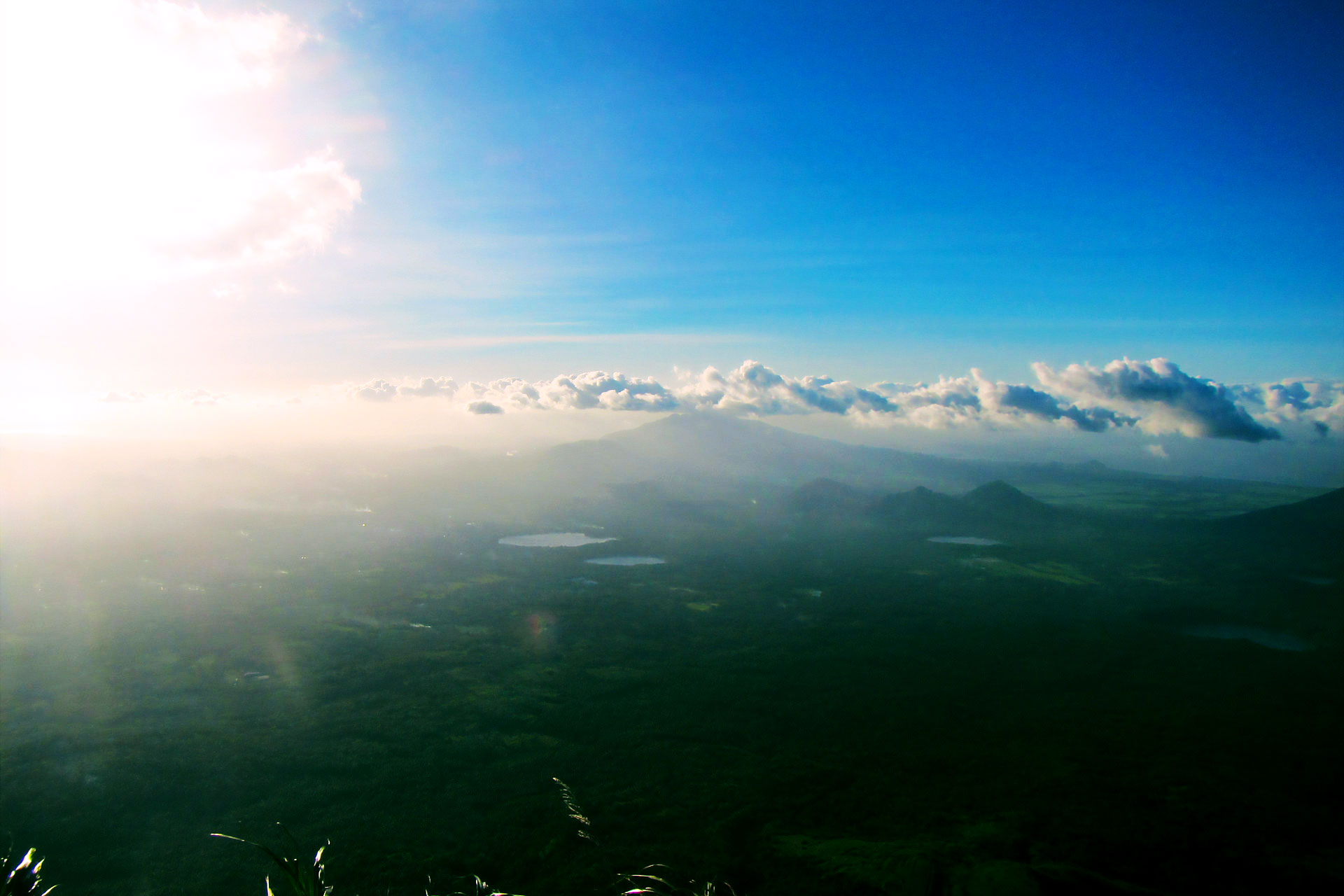
Mount San Cristobal is a potentially active stratovolcano at the boundary of the provinces of Laguna and Quezon on the island of Luzon, Philippines. The mountain rises to an elevation of 1,470 m (4,820 ft) above mean sea level[1] and is one of the volcanic features of Macolod Corridor.[3]
| Mount San Cristobal | |
|---|---|
 | |
| Highest point | |
| Elevation | 1,470 m (4,820 ft)[1] |
| Listing | Potentially active[2] |
| Coordinates | 14°03′52″N 121°25′36″E |
| Geography | |
 Mount San Cristobal Location within the Philippines | |
| Location | Luzon |
| Country | Philippines |
| Region | Calabarzon |
| Provinces |
|
| Municipalities |
|
| Geology | |
| Mountain type | Stratovolcano |
| Volcanic arc/belt | Macolod Corridor |
| Last eruption | Unknown |
| Climbing | |
| Easiest route | from Dolores, Quezon |
 | |
Mount San Cristobal is considered the Devil's Mountain in Filipino folklore. It is the alter-ego of the Holy Mountain,[1] Mount Banahaw, and is part of Mounts Banahaw–San Cristobal Protected Landscape, covering 10,901 hectares (26,940 acres) of land.
The mountain is bordered by San Pablo, province of Laguna at its northern slope and Dolores, province of Quezon at its southern slope.
See also
- List of mountains in the Philippines
- List of national parks of the Philippines
References
- "Mt. Cristobal (1,470+)". Pinoy Mountaineer. 23 September 2007. Retrieved 5 February 2015.
- "Potentially Active". Philippine Institute of Volcanology and Seismology. 30 July 2008. Retrieved 24 March 2016.
- Tectonophysics. Amsterdam: Elsevier Science Publishers. 1990. p. 266.
External links
 Media related to Mount San Cristobal at Wikimedia Commons
Текст в блоке "Читать" взят с сайта "Википедия" и доступен по лицензии Creative Commons Attribution-ShareAlike; в отдельных случаях могут действовать дополнительные условия.
Другой контент может иметь иную лицензию. Перед использованием материалов сайта WikiSort.org внимательно изучите правила лицензирования конкретных элементов наполнения сайта.
Другой контент может иметь иную лицензию. Перед использованием материалов сайта WikiSort.org внимательно изучите правила лицензирования конкретных элементов наполнения сайта.
2019-2026
WikiSort.org - проект по пересортировке и дополнению контента Википедии
WikiSort.org - проект по пересортировке и дополнению контента Википедии