geo.wikisort.org - Island
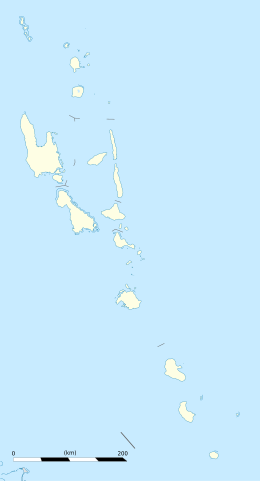
Uripiv Island is a small inhabited island in Malampa Province of Vanuatu in the Pacific Ocean.[1] Uripiv lies off the north coast of Malekula Island.[2] The estimated terrain elevation above the sea level is some 8 meters.[3]
 Uripiv | |
| Geography | |
|---|---|
| Location | Pacific Ocean |
| Coordinates | 16°04′14.7″S 167°27′03.1″E |
| Archipelago | Vanuatu |
| Highest elevation | 8 m (26 ft) |
| Administration | |
| Province | Malampa Province |
| Demographics | |
| Population | 351 (2015) |
| Ethnic groups | None |
Population
As of 2015, the official local population was 351 people in 76 households.[4] Local people speak Uripiv language, a dialect of the language spoken on the north-east coast of Malakula. The language is referred to as Northeast Malakula or Uripiv-Wala-Rano-Atchin, and is spoken on the islands of Uripiv, Wala, Rano, and Atchin and on the mainland opposite to these islands.
References
- "Uri and Uripiv Islands, Malekula". Positive Earth. Retrieved 6 August 2018.
- "URIPIV ISLAND, LIFE WITHOUT ELECTRICITY, ROADS OR INTERNET". The Lost Passport. 4 October 2018. Retrieved 6 August 2018.
- "Uripiv". Elevation Map. Retrieved 8 August 2018.
- "2015 Vanuatu National Population and Households Projections by Province and Islands" (PDF). Vanuatu National Statistics Office. Retrieved 6 August 2018.
Islands of Vanuatu by province | |||||||||||||
|---|---|---|---|---|---|---|---|---|---|---|---|---|---|
| Provinces of Vanuatu |
|  | |||||||||||
| Islands and islets |
| ||||||||||||
This Vanuatu location article is a stub. You can help Wikipedia by expanding it. |
На других языках
[de] Uripiv
Uripiv ist eine kleine Insel der Neuen Hebriden vor der Küste von Malakula im Inselstaat Vanuatu.- [en] Uripiv
Текст в блоке "Читать" взят с сайта "Википедия" и доступен по лицензии Creative Commons Attribution-ShareAlike; в отдельных случаях могут действовать дополнительные условия.
Другой контент может иметь иную лицензию. Перед использованием материалов сайта WikiSort.org внимательно изучите правила лицензирования конкретных элементов наполнения сайта.
Другой контент может иметь иную лицензию. Перед использованием материалов сайта WikiSort.org внимательно изучите правила лицензирования конкретных элементов наполнения сайта.
2019-2026
WikiSort.org - проект по пересортировке и дополнению контента Википедии
WikiSort.org - проект по пересортировке и дополнению контента Википедии