geo.wikisort.org - Island
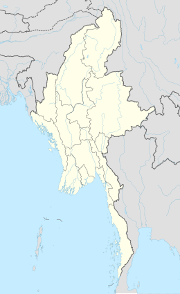
Kaingthaung Island is an island in Myanmar. It is located in the Ayeyarwady Region, in the south-central part of the country, 500 km south of the capital Naypyidaw. The area is 11.4 square kilometers.[1]
 Kaingthaung Island | |
| Geography | |
|---|---|
| Location | Andaman Sea, Myanmar |
| Coordinates | 15.73°N 95.04375°E |
| Area | 11.4 km2 (4.4 sq mi) |
| Administration | |
Myanmar | |
| Additional information | |
| Time zone |
|
There is a major settlement on the northeastern part of the island, and several smaller ones on the rest. There is a pagoda by the island, which received damage during the 2004 Sumatra-Andaman earthquake.[2] There have also recently been issues with rising sea levels submerging the island and threatening its residents.[3]
References
- "GeoNames.org". www.geonames.org. Retrieved 2020-12-18.
- Satake, Kenji; Aung, Than Tin; Sawai, Yuki; Okamura, Yukinobu; Win, Kyaw Soe; Swe, Win; Swe, Chit; Swe, Tint Lwin; Tun, Soe Thura; Soe, Maung Maung; Oo, Thant Zin (February 2006). "Tsunami heights and damage along the Myanmar coast from the December 2004 Sumatra-Andaman earthquake". Earth, Planets and Space. 58 (2): 243–252. doi:10.1186/BF03353384. ISSN 1880-5981.
- "REFORESTATION OFFERS HOPE FOR MYANMAR'S SINKING ISLAND | RADIO FREE ASIA (RFA)". Radio Free Asia. February 6, 2020. Retrieved 2020-12-18.
Islands of Myanmar (Burma) | ||
|---|---|---|
| ||
| ||
This Myanmar-related article is a stub. You can help Wikipedia by expanding it. |
Текст в блоке "Читать" взят с сайта "Википедия" и доступен по лицензии Creative Commons Attribution-ShareAlike; в отдельных случаях могут действовать дополнительные условия.
Другой контент может иметь иную лицензию. Перед использованием материалов сайта WikiSort.org внимательно изучите правила лицензирования конкретных элементов наполнения сайта.
Другой контент может иметь иную лицензию. Перед использованием материалов сайта WikiSort.org внимательно изучите правила лицензирования конкретных элементов наполнения сайта.
2019-2026
WikiSort.org - проект по пересортировке и дополнению контента Википедии
WikiSort.org - проект по пересортировке и дополнению контента Википедии