geo.wikisort.org - Island
The Bounty Islands (Māori: Moutere Hauriri; "Island of angry wind") are a small group of 13 uninhabited granite islets and numerous rocks, with a combined area of 135 ha (330 acres),[1] in the South Pacific Ocean. Territorially part of New Zealand, they lie about 670 km (416 mi) east-south-east of New Zealand's South Island, 530 km (329 mi) south-west of the Chatham Islands, and 215 km (134 mi) north of the Antipodes Islands. The group is a World Heritage Site.[2]
 Panorama of a seabird colony on Proclamation Island, part of the Bounty Islands | |
 Map of the Bounty Islands | |
 Bounty Islands Location of the Bounty Islands within the Pacific Ocean | |
| Geography | |
| Coordinates | 47°45′S 179°03′E |
| Area | 1.35 km2 (0.52 sq mi) |
| Highest elevation | 73 m (240 ft) |
| Administration | |
| Demographics | |
| Population | 0 |
The islands are listed with the New Zealand Outlying Islands. The islands are an immediate part of New Zealand, but not part of any region or district. Rather, they are listed as an Area Outside Territorial Authority, similar to all other outlying islands except for the Solander Islands / Hautere.
History
Captain William Bligh discovered the Bounty Islands en route from Spithead to Tahiti in 1788, and named them after his ship HMS Bounty, just months before the famous mutiny. The location of the islands were only roughly marked on charts. In early 1866 Commander W. H. Norman of HMVS Victoria (1855) was tasked with determining more accurately their position. He reported them as being latitude 47ˈ50 South and longitude 179ˈ00 East.[3] Captain George Palmer, during the search for the Matoaka placed the islands at 47ˈ46ˈ24 South 178ˈ56ˈ45 East. Palmer also annexed the islands for New Zealand.[4]
During the 19th century the area was a popular hunting-ground for sealers.[5] The islands were also searched from time to time for missing ships and crews, including those from the General Grant and the Matoaka.[6]
The Hinemoa visited the islands in March 1886 and erected a depot for marooned sailors on the largest island. Captain Fairchild noted that there was no fresh water available on these islands.[7] The depot had been destroyed by the sea by the time the Stella visited the island in 1887.[8] A new Admiralty chart 1022 was issued for the area in 1888, which took into account survey work undertaken by the Hinemoa.
In November 1891 the Hinemoa returned to the islands and built a fresh provisions storage.[9]
Flora and fauna
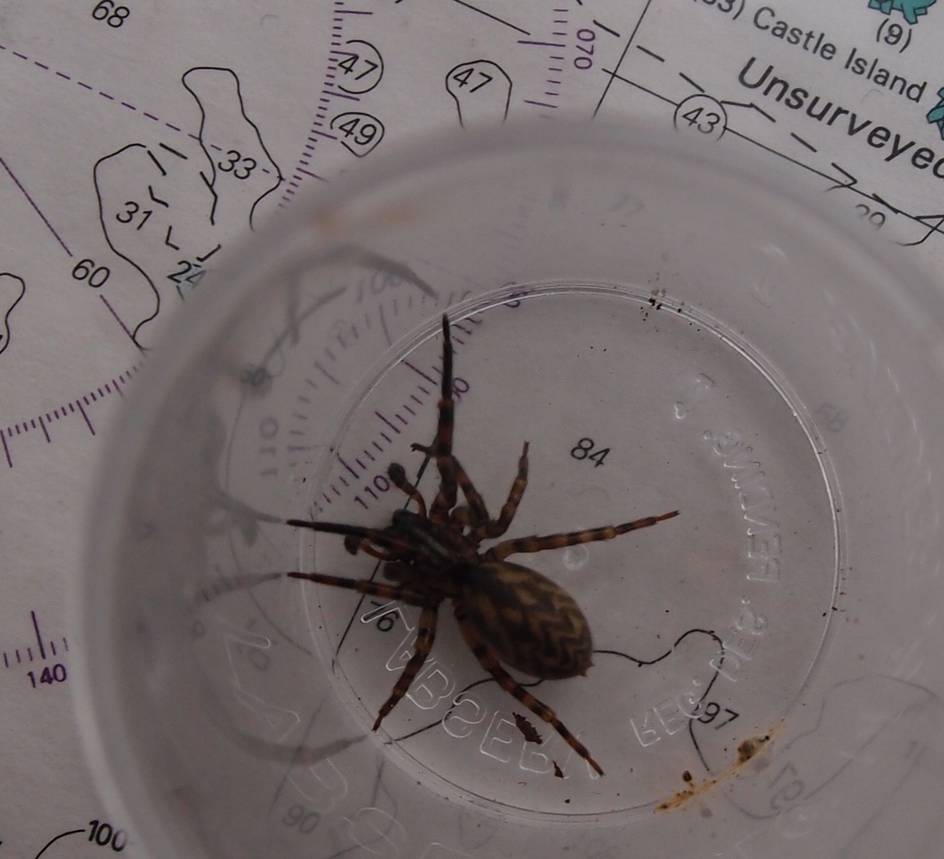
Ecologically, the islands are part of the Antipodes Subantarctic Islands tundra ecoregion. Plants include Cook's scurvy grass. The group is home to an endemic spider,[10] endemic insects, and large numbers of seabirds.
Important Bird Area
The Bounty group has been identified as an Important Bird Area (IBA) by BirdLife International because of its significance as a breeding site for erect-crested penguins, Salvin's albatrosses and Bounty shags.[11]
Geography
The whole chain is only 5 km (3.1 mi) across at its longest axis, and comprises three subgroups, the Main Group, the Centre Group, and the East Group. The total area is only 1.35 km2 (0.52 sq mi). The islands are at the antipodes of Bouillé-Ménard, in France (Pays de la Loire).
The Main Group is the largest of the three groups, and is located in the northwest of the chain. It includes the group's largest island, Depot Island, which is around 700 metres in length and 400 metres across at its widest point. Proclamation and Tunnel Islands are separated from Depot Island by only a narrow cleft, and are joined to it at low tide. A small islet off the north coast of this group's Spider Island is the chain's northernmost point; the westernmost point is the western tip of Penguin Island.[12]
The Centre Group is located some 1.5 to 2 kilometres to the southeast of the Main Group, and contains three main islands, arrayed in a north–south line. A smaller islet lies immediately to the west. The northernmost of the Centre Group, Funnel Island, contain's the chain's highest point, at 73 metres (240 ft) above sea level.[13] A further 1.5 kilometres to the east is the East Group, which is also arrayed roughly in a north–south line. The largest island in this group, Molly Cap, is the group's southernmost island, and contains the chain's second-highest point, 70 metres (230 ft) above sea level. This group contains two large islets and one small islet, along with several reefs and stacks, one of which is the easternmost point in the chain.[12]
Islands
- Main Group (47°45′S 179°02′E):
- Depot Island (largest in the group), named for the castaway depot on the island.
- Dog Rock
- Lion Island
- Penguin Island
- Proclamation Island
- Ranfurly Island
- Ruatara Island
- Seal Rock
- Skua Rock
- Spider Island
- Tunnel Island
- Centre Group (47°45′45″S 179°02′40″E):
- Coronet Island
- Funnel Island (main islet)
- Prion Island
- East Group (47°46′S 179°04′E):
- Con Island
- Molly Cap (main islet)
- North Rock
See also
- List of Antarctic and subantarctic islands
- List of islands of New Zealand
- List of islands
- New Zealand subantarctic islands
- Water hemisphere
- Bounty Islands nonmarine fauna
- Campbell Plateau
- Desert island
References
- "Data Table – Protected Areas – LINZ Data Service (recorded area 135 ha)". Land Information New Zealand. Retrieved 27 August 2019.
- New Zealand Sub-Antarctic Islands. UNESCO.org (27 June 2013). Retrieved 2 August 2013.
- "Shipping," Lyttelton Times, Volume XXV, Issue 1609, 9 February 1866, Page 2
- "Proclamation," Otago Daily Times, Issue 2680, 8 September 1870, Page 2
- "Bluff Harbour," Southland Times, Issue 3773, 26 July 1880, Page 2
- "The missing boats crew," Hawke's Bay Herald, Volume 12, Issue 918, 18 February 1868, Page 3
- "The SS Hinemoa's trip," Press, Volume XLIII, Issue 6397, 22 March 1886, Page 2
- "The SS Stella's Visit to the Islands," Evening Post, Volume XXXIII, Issue 71, 25 March 1887, Page 3
- "The Hinemoa's Cruise," Oamaru Mail, Volume XVI, Issue 5125, 7 November 1891, Page 3
- . 'Radio New Zealand Going on a spider hunt'. Retrieved 3 December 2016 3:00 pm
- BirdLife International. (2012). Important Bird Areas factsheet: Bounty Islands. Downloaded from "BirdLife International - conserving the world's birds". Archived from the original on 10 July 2007. Retrieved 17 August 2013. on 27 January 2012.
- NZMS 272/1+5 (1981) "Snares Islands and Bounty Islands", Wellington:NZ Government Department of Lands and Surveys.
- ""New Zealand offshore islands maps – BI01 Bounty Islands"". Land Information New Zealand. 2 October 2017. Retrieved 27 August 2019.
Countries and territories of Oceania | |||||||||||
|---|---|---|---|---|---|---|---|---|---|---|---|
| Sovereign states |
|  | |||||||||
Associated states of New Zealand |
| ||||||||||
Dependencies and other territories |
| ||||||||||
Authority control | |
|---|---|
| General |
|
| Other |
|
На других языках
[de] Bountyinseln
Die Bountyinseln (englisch Bounty Islands) sind eine Inselgruppe im Südpazifik. Sie gehören politisch zu Neuseeland und werden dort zu den New Zealand Offshore Islands gezählt. Die unbewohnte Inselgruppe besteht aus 22 kleinen und kleinsten Granitinseln, die sich in eine westliche und eine östliche Gruppe unterteilen. Die Gruppe misst etwa 5 km im Durchmesser.- [en] Bounty Islands
[es] Islas Bounty
Las islas Bounty son un pequeño grupo de 13 islotes y numerosas rocas en el sur del océano Pacífico que forma parte de Nueva Zelanda. Están localizadas entre 47°44'35" y 47°46'10" de latitud sur, y 179°01' y 179°04'20" de longitud este, 650 kilómetros al sureste de la isla Sur de Nueva Zelanda. El archipiélago está deshabitado, pero densamente poblado por los pingüinos y los albatros.[fr] Îles Bounty
Les îles Bounty constituent un groupe de 13 petites îles et de nombreux rochers dans le Sud de l'océan Pacifique, qui font territorialement partie de la Nouvelle-Zélande[1].[it] Isole Bounty
Le Isole Bounty sono un piccolo gruppo composto da 13 isole e da numerosi scogli che si trova nell'Oceano Pacifico, circa 650 chilometri a sudest dell'Isola del Sud; politicamente esse fanno parte della Nuova Zelanda. L'arcipelago è disabitato, ma ha forti popolazioni di pinguini e albatros. Nel XIX secolo era un luogo popolare per la caccia degli otaridi.[ru] Баунти (острова)
Ба́унти (англ. Bounty Islands) — архипелаг, состоящий из 13 островков и многочисленных скал, расположенный приблизительно в 650 километрах к юго-востоку от Южного острова Новой Зеландии.Другой контент может иметь иную лицензию. Перед использованием материалов сайта WikiSort.org внимательно изучите правила лицензирования конкретных элементов наполнения сайта.
WikiSort.org - проект по пересортировке и дополнению контента Википедии