geo.wikisort.org - River
The Noosa River is a river situated in South East Queensland. The catchment starts in the Como Escarpment near Mount Elliott in the coastal Great Sandy National Park and meanders south through a lakes district around Tewantin.[2]
| Noosa River | |
|---|---|
 | |
| Location | |
| Country | Australia |
| State | Queensland |
| Physical characteristics | |
| Source | |
| • location | Como Escarpment |
| Mouth | |
• location | Pacific Ocean |
| Basin size | 854 km2 (330 sq mi)[1] |
Lakes situated on the river include Lake Cooloola, Lake Como, Lake Cootharaba, Lake Cooroibah and Lake Weyba. The catchment is mostly covered by sand dunes and has two major tributaries—Kin Kin Creek and Teewah Creek.[1]
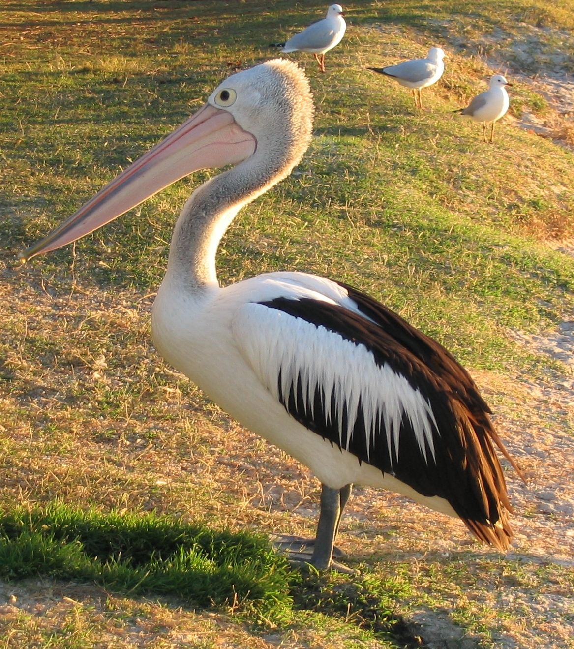
The Noosa River enters the Coral Sea between Noosa Heads and Noosa North Shore. Substantial residential development has encroached into areas previously occupied by the changing river path. The river is noted for its populations of migratory birdlife.[3]
History
Logging along the river began in 1864. The logs were transported north to a sawmill near Maryborough until 1870 when a sawmill was built on Lake Cootharaba.[4]
Richard Branson purchased Makepeace Island on the river in May 2003. Noosa Council scaled down his plans for a luxury resort on the river.[5]
Several kilometres of beach to the north of the mouth were a popular destination for four-wheel driving, until Sunshine Coast Regional Council placed restrictions on them in May 2007.[3]
Chemical contamination has been the suspected cause of a fish mutation resulting in two-headed fish larvae found in the Noosa River.[6] Government investigations into the problem began in 2007. A final scientific report into the cause of the spawning was delayed in 2010 because of the potential to prejudice ongoing civil court proceedings involving the hatchery and a nearby macadamia nut farm.[7]

Until the 1960s the Noosa beach and river entrance were in a state of dynamic equilibrium. The beach was wide and usable and it recovered quickly from the occasional extreme storm events such as cyclones. From the mid-1960s rapid development on the beachfront including building a rockwall along the beach created instability. The beach became narrow and often non existent at high tide. At this time the river entered the sea at the present day Noosa Woods. In 1978 a training wall was built to relocate the river entrance to the northwest where it is today.[8]
Attractions
The Noosa Ferry operates along the Noosa River from Noosa Heads via Noosaville to Tewantin with timetabled regular services and tourist cruises.[9]
Noosa River & Canal Cruises offers tourist cruises on the Noosa River and its canals departing Noosaville and Noosa Heads.[10]
See also
- List of rivers of Australia
- Noosa River Ferry
- Great Sandy National Park
References
- "Water resources - Overview - Queensland - Basin & Surface Water Management Area: Noosa River". Australian Natural Resources Atlas. Department of the Environment, Water, Heritage and the Arts. Archived from the original on 4 October 2009. Retrieved 20 May 2009.
- weyba. "Noosa Integrated Catchment Association - the Noosa River Catchment". Noosa Integrated Catchment Association. Retrieved 28 January 2021.
- "Birds return to Noosa River". Sunshine Coast Daily. Retrieved 14 May 2008.
- Explore Queensland's National Parks. Prahran, Victoria: Explore Australia Publishing. 2008. p. 24. ISBN 978-1-74117-245-4.
- "Virgin tycoon presses on with luxury island resort". Sydney Morning Herald. 27 April 2008. Archived from the original on 2 May 2008. Retrieved 14 May 2008.
- Brian Williams and Sophie Elsworth (13 January 2009). "Two-headed fish larvae blamed on farm chemicals in Noosa River". News Limited. Archived from the original on 25 February 2009. Retrieved 20 May 2009.
- Marrisa Calligeros (23 July 2010). "Two-headed fish report kept under wraps". Brisbane Times. Fairfax Media. Archived from the original on 25 July 2010. Retrieved 24 August 2010.
- "Archived copy" (PDF). Archived (PDF) from the original on 1 April 2015. Retrieved 22 January 2015.
{{cite web}}: CS1 maint: archived copy as title (link) - "Ferry". Noosa Marina. Archived from the original on 16 March 2020. Retrieved 14 April 2020.
- "Home - Noosa River & Canal Cruises". www.noosariverandcanalcruises.com.au. Archived from the original on 13 March 2020. Retrieved 29 April 2020.
Rivers of Queensland | |||||||||||||||
|---|---|---|---|---|---|---|---|---|---|---|---|---|---|---|---|
| |||||||||||||||
| |||||||||||||||
| |||||||||||||||
| |||||||||||||||
| |||||||||||||||
| |||||||||||||||
| Authority control |
|
|---|
На других языках
- [en] Noosa River
[ru] Нуса (река, впадает в Коралловое море)
Ну́са (англ. Noosa River) — река в регионе Саншайн-Кост, Юго-Восточный[en] Квинсленд, Австралия. Площадь водосборного бассейна — 1948 км².[источник не указан 812 дней]Другой контент может иметь иную лицензию. Перед использованием материалов сайта WikiSort.org внимательно изучите правила лицензирования конкретных элементов наполнения сайта.
WikiSort.org - проект по пересортировке и дополнению контента Википедии