geo.wikisort.org - River
The Mulgrave River, incorporating the East Mulgrave River and the West Mulgrave River, is a river system located in Far North Queensland, Australia. The 70-kilometre (43 mi)-long river flows towards the Coral Sea and is located approximately 50 kilometres (31 mi) south of Cairns.
| Mulgrave | |
|---|---|
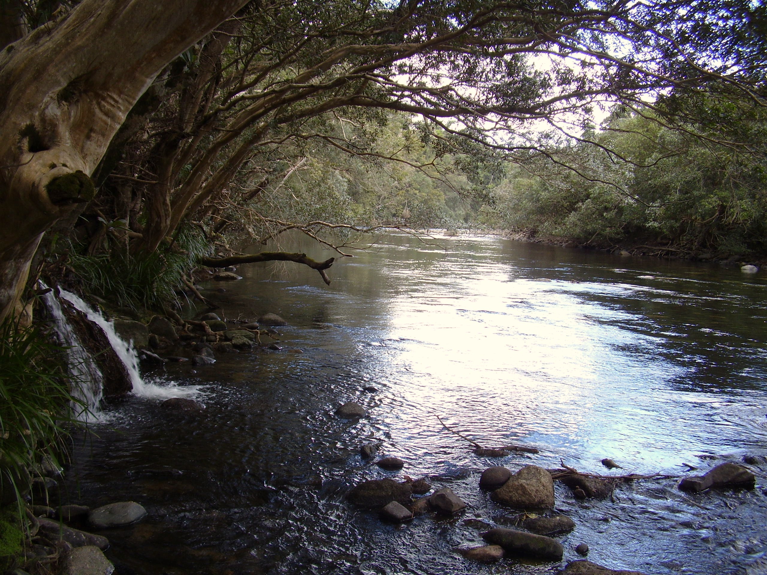 The Mulgrave River in the Goldsbrough Valley | |
 Location of Mulgrave River river mouth in Queensland | |
| Location | |
| Country | Australia |
| State | Queensland |
| Region | Far North Queensland |
| Physical characteristics | |
| Source | Bellenden Ker Range |
| 2nd source | West Mulgrave River |
| • location | west of Babinda |
| • coordinates | 17°21′16″S 145°46′52″E |
| • elevation | 376 m (1,234 ft) |
| 3rd source | East Mulgrave River |
| • location | below South Peak |
| • coordinates | 17°17′37″S 145°51′00″E |
| • elevation | 665 m (2,182 ft) |
| Source confluence | West and East branches of the Mulgrave River |
| • location | south of Little Mulgrave |
| • coordinates | 17°17′50″S 145°48′01″E |
| • elevation | 120 m (390 ft) |
| Mouth | Coral Sea |
• location | Mutchero Inlet |
• coordinates | 17°13′18″S 145°58′30″E |
• elevation | 0 m (0 ft) |
| Length | 70 km (43 mi) |
| Basin size | 1,315 km2 (508 sq mi) |
| Basin features | |
| Tributaries | |
| • right | Russell River |
| National parks | Wooroonooran National Park; Russell River National Park |
| [1][2][3][4] | |
Location and features
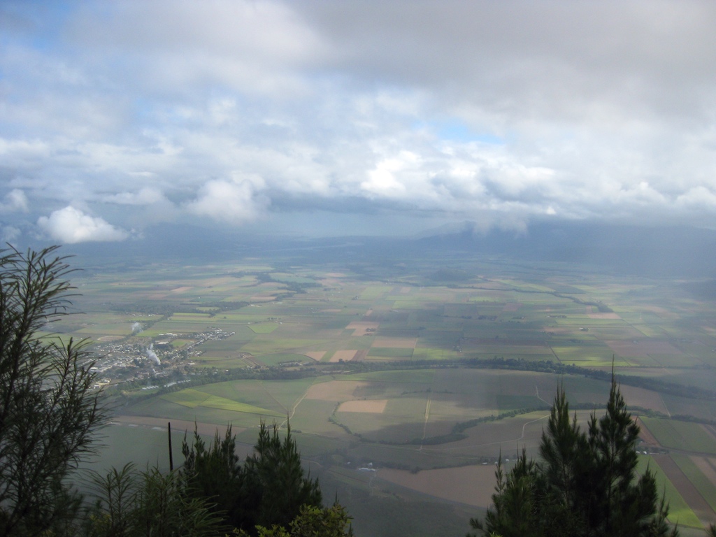
Sourced by runoff from the Bellenden Ker Range, the headwaters of the Mulgrave River rise as the east and west branches of the river below South Peak and west of Babinda respectively. The two branches form their confluence within the Wooroonooran National Park and the Wet Tropics World Heritage Area. The Mulgrave River flows generally north towards Little Mulgrave and through the outskirts of Gordonvale and flows through the Goldsborough Valley. From Gordonvale the river flows east by south and then south where the Mulgrave River empties into the Coral Sea 30 kilometres (19 mi) south at the southern extremity of the Yarrabah Hills range where the Mulgrave meets the Russell River. The Trinity Inlet was once the river mouth of the Mulgrave River.[5] Volcanic activity that resulted in the rise of Green Hill in the Mulgrave Valley blocked the river from entering the sea near present-day Cairns.[6] However, further research has shown river sediments above the basalt flows and it is now believed that other factors such as alluvial sediments may have altered the river's course and that perhaps it has alternated between the two mouths over time.[7]
The river has a catchment area of 1,315 square kilometres (508 sq mi).[5] From source to mouth, incorporating the east and west branches of the river, the river descends 665 metres (2,182 ft) over a combined 78 kilometres (48 mi) course.[1][2][3]
The river is crossed by the Bruce Highway south of Gordonvale via the Desmond Trannore Bridge.
Gold was discovered in the river in the 1870s, bringing considerable change to the Goldsborough Valley. Gravel is now extracted from the riverbed.[5]
Freshwater stonefish and crocodiles are found in the river, so caution is advised if swimming in the river.[8] The pest fish tilapia have been discovered in the river and have been the target of eradication efforts.[9]
Together with the Russell River, the Mulgrave River has a quite well-recorded flood history with documented evidence of flooding beginning in the late 19th century.[10][11]
Language
Yidinji (also known as Yidinj, Yidiny, and Idindji) is an Australian Aboriginal language. Its traditional language region is within the local government areas of Cairns Region and Tablelands Region, in such localities as Cairns, Gordonvale, and the Mulgrave River, and the southern part of the Atherton Tableland including Atherton and Kairi.[12]
See also
- Kearneys Falls
- List of rivers of Queensland
References
- "Map of Mulgrave River, QLD". Bonzle Digital Atlas of Australia. Retrieved 20 October 2015.
- "Map of East Mulgrave River, QLD". Bonzle Digital Atlas of Australia. Retrieved 21 October 2015.
- "Map of West Mulgrave River, QLD". Bonzle Digital Atlas of Australia. Retrieved 21 October 2015.
- "Water resources - Overview - Queensland - Basin & Surface Water Management Area: Musgrave River". Australian Natural Resources Atlas. Department of the Environment, Water, Heritage and the Arts. Archived from the original on 4 October 2009. Retrieved 21 May 2009.
- "Chapter 2: The Cairns Setting" (PDF). Geoscience Australia. Australian Government. Archived from the original (PDF) on 11 September 2007.
- "17°S 146°E Cairns – Queensland by Degrees". Royal Geographical Society of Queensland. Archived from the original on 18 March 2018. Retrieved 22 April 2018.
- "Chapter 2: The Cairns Setting" (PDF). Geoscience Australia. Australian Government. Archived from the original (PDF) on 11 September 2007.
- "SATURADAY MAGAZINE". The Canberra Times. Vol. 62, no. 19, 269. Australian Capital Territory, Australia. 9 July 1988. p. 17. Retrieved 2 September 2020 – via National Library of Australia.
- Stephen, Adam (14 September 2009). "Terminating Talapia". ABC Rural. Australian Broadcasting Corporation. Retrieved 21 May 2009.
- "CAIRNS". The Queenslander. Vol. XVII, no. 238. Queensland, Australia. 6 March 1880. p. 296. Retrieved 2 September 2020 – via National Library of Australia.
- "Flood Warning System for the Mulgrave and Russell Rivers". Bureau of Meteorology. Australia: Australian Government. Retrieved 21 October 2015.
-
 This Wikipedia article incorporates CC-BY-4.0 licensed text from: "Yidinji". Queensland Aboriginal and Torres Strait Islander languages map. State Library of Queensland. Retrieved 30 January 2020.
Rivers of Queensland | |||||||||||||||
|---|---|---|---|---|---|---|---|---|---|---|---|---|---|---|---|
| |||||||||||||||
| |||||||||||||||
| |||||||||||||||
| |||||||||||||||
| |||||||||||||||
| |||||||||||||||
Другой контент может иметь иную лицензию. Перед использованием материалов сайта WikiSort.org внимательно изучите правила лицензирования конкретных элементов наполнения сайта.
WikiSort.org - проект по пересортировке и дополнению контента Википедии