geo.wikisort.org - River
The Motagua River (Spanish pronunciation: [moˈtaɣwa]) is a 486-kilometre-long (302 mi) river in Guatemala.[1] It rises in the western highlands of Guatemala where it is also called Río Grande, and runs in an easterly direction to the Gulf of Honduras.[2] The final few kilometres of the river form part of the Guatemala–Honduras border. The Motagua River basin covers an area of 12,670 square kilometres (4,890 sq mi) and is the largest in Guatemala.
| Motagua River | |
|---|---|
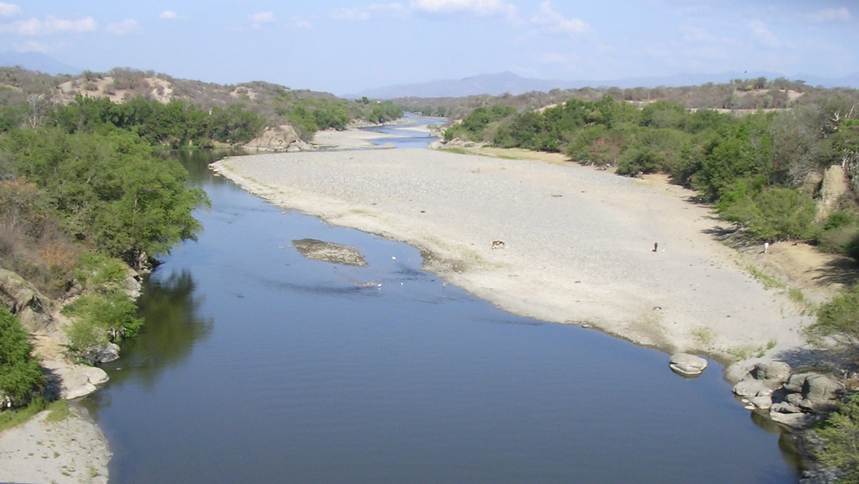 The Motagua River during the dry season | |
 The Motagua River, flowing from the highlands in western Guatemala to the coast at the Guatemala–Honduras border | |
| Location | |
| Countries | Guatemala and Honduras |
| Physical characteristics | |
| Source | Quiché Department |
| • coordinates | 14°56′57″N 91°00′32″W |
| • elevation | 1,800 m (5,900 ft) |
| 2nd source | Baja Verapaz Department |
| Mouth | Gulf of Honduras in the Atlantic Ocean |
• location | Puerto Barrios |
• coordinates | 15°43′29″N 88°13′18″W |
• elevation | 0 m (0 ft) |
| Length | 486.55 km (302.33 mi)[1] |
| Basin size | 12,670 km2 (4,890 sq mi)[1] |
| Discharge | |
| • average | 208.7 m3/s (7,370 cu ft/s)[1] |
The Motagua River is believed to be the number one most plastic-emitting river in the world, contributing around two per cent of global plastic pollution emissions into the world's oceans annually.[3]
Overview
The river runs in a valley that has the only known source of jadeitite (jade) in Mesoamerica, and was an important commerce route during the Pre-Columbian era. The important Maya site of Quirigua is near the river's north bank, as are several smaller sites with jade quarries and workshops.
The Motagua river valley also marks the Motagua Fault, the tectonic boundary between the North American and the Caribbean Plates. The Motagua fault has been the source of several major earthquakes in Guatemala.
"World’s most polluted river"
Much like Lake Amatitlán, the river is highly polluted with untreated sewage, industrial waste, tons of sediment (garbage) and blackwater from Guatemala City. It is "considered the world’s most polluted river" and accounts for about 2 percent of the total emissions of plastic into the world’s oceans. As such, The Ocean Cleanup chose it as the test site for its experimental "Interceptor Trashfence," which attempts to filter out solid pollutants as they flow downriver.[4]
Tributaries
Left
Río Cocoyá, Río Cotón, Río Suchicul, Río Morazán, Río Comajá, Río Lato, Río Huijo, Río La Palmilla, Río Teculutan, Río Pasabien, Río Hondo, Río Jones, RíoLos Achiotes, Río Mayuelas, Río El Lobo, Quebrada Agua Fría, Quebrada La Vegega, Río Las Conchas
Right
Río Chipaca, Rio Agua Escondida, Rio Quisaya, Rio Pixcayá, Río Cotzibal, Río Las Vacas, Río Grande, Río Ovejas, Río El Tambor, Río San Vicente, Río Grande o Zapaca, Río Carí, Río Las Naranjas, Río Biafra, Río El Islote, Río Jubuco, Río Lagarto, Río Tepemechín, Río Juyamá, Río Bobos, Río Animas, Río Chiquito, Río Nuevo o Cacao
References
- INSIVUMEH. "Principales ríos de Guatemala".
- "Tapping a Rubber Tree, Motagua Valley, Guatemala". World Digital Library. 1890–1925. Retrieved 2013-05-30.
- "The Ocean Cleanup Trials New Interceptor in World's Most Polluting River • Updates • the Ocean Cleanup". June 2022.
- Slat, Boyan (June 2022). "THE OCEAN CLEANUP TRIALS NEW INTERCEPTOR IN WORLD'S MOST POLLUTING RIVER". The Ocean Cleanup. Retrieved 13 June 2022.
External links
Rivers of Honduras | ||
|---|---|---|
| Atlantic Basin | ||
| Pacific Basin | ||
| Authority control |
|
|---|
На других языках
[de] Río Motagua
Der Río Motagua (auch Río Grande) ist mit 486 km Länge der längste Fluss Guatemalas. Sein Einzugsgebiet umfasst knapp 18.000 km², von denen ca. 12.500 km² auf Guatemala entfallen.- [en] Motagua River
[es] Río Motagua
El río Motagua es un importante río de la vertiente del mar Caribe de Centroamérica que discurre principalmente por Guatemala, aunque en su tramo final forma frontera con Honduras. Tiene una longitud de 486 km y drena una amplia cuenca de 12 670 km², que lo convierten en el río más largo y con mayor cuenca de Guatemala.[1][it] Motagua
Il Motagua (in spagnolo: Río Motagua o Río Grande) è il principale fiume del Guatemala, nasce negli altipiani centrali del dipartimento di Quiché, nel territorio del comune di Santo Tomás Chichicastenango (a nordest di Città del Guatemala) e scorre per circa 400 km nella parte orientale del paese attraversando i dipartimenti di Chimaltenango, El Progreso, Zacapa, e Izabal fino a sfociare nella baia di Omoa nel Golfo dell'Honduras del mar dei Caraibi. L'ultimo tratto del suo corso costituisce il confine naturale fra Guatemala e Honduras.[ru] Мотагуа
Мотагуа (исп. Motagua) — река в Гватемале, крупнейшая река страны. Берёт начало в западных высокогорных районах Гватемалы, где её также называют Рио-Гранде, далее протекает на восток, где впадает в Гондурасский залив. Последние несколько километров реки являются частью границы между Гватемалой и Гондурасом. Бассейн реки занимает площадь 12 670 км² и является крупнейшим в Гватемале.Другой контент может иметь иную лицензию. Перед использованием материалов сайта WikiSort.org внимательно изучите правила лицензирования конкретных элементов наполнения сайта.
WikiSort.org - проект по пересортировке и дополнению контента Википедии