geo.wikisort.org - River
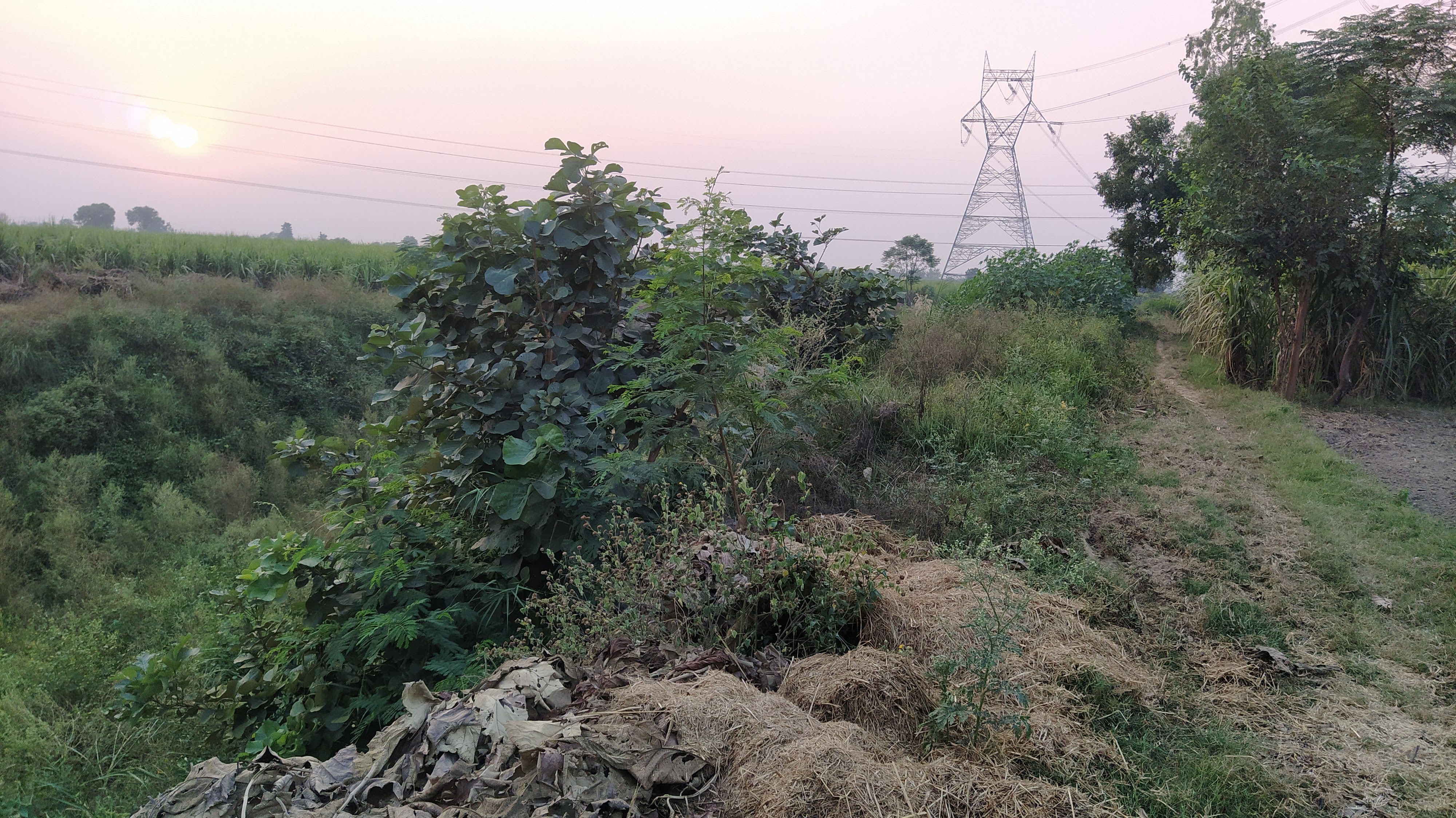
The Kali River originates in the Upper Sivaliks and passes through Saharanpur, Muzaffarnagar and Baghpat districts, before merging with Hindon River (at Barnava, Baghpat), which goes on to merge with the Yamuna River (near Delhi), which itself goes to merge with the Ganga River, which finally merges with the Bay of Bengal. The total length of the river from its origin up to its confluence with the Hindon river is 150 km. The river is named Kali, because of the Hindu Goddess Kali.[1]
| Kali River | |
|---|---|
| Location | |
| Country | India |
| District | Saharanpur |
| Physical characteristics | |
| Source | Rajaji Range, Sivalik Hills |
| • location | Uttar Pradesh |
| Mouth | Hindon River |
• location | Uttar Pradesh |
| Length | 150 km (93 mi) |
| Basin size | 750 km2 (290 sq mi) |
Pollution and ecology
The Kali River is polluted from both raw sewage and industrial discharges.[2] It is one of the rivers that is targeted for clean-up under the National Ganga River Basin Authority (NGRBA).[3]
References
- Hydrology and water resources of India By Sharad K. Jain, Pushpendra K. Agarwal, Vijay P. Singh,p. 349 Springer, The Netherlands. ISBN 1-4020-5179-4.
- Pathak, Sugandha (August 2011). "No helping hand for Kali". Civil Society Online. Archived from the original on 19 April 2013.
- "National Ganga River Basin Project, Design Review and Advisory Services Inception Report – Final" (PDF). Archived from the original (PDF) on 19 April 2013.
Текст в блоке "Читать" взят с сайта "Википедия" и доступен по лицензии Creative Commons Attribution-ShareAlike; в отдельных случаях могут действовать дополнительные условия.
Другой контент может иметь иную лицензию. Перед использованием материалов сайта WikiSort.org внимательно изучите правила лицензирования конкретных элементов наполнения сайта.
Другой контент может иметь иную лицензию. Перед использованием материалов сайта WikiSort.org внимательно изучите правила лицензирования конкретных элементов наполнения сайта.
2019-2026
WikiSort.org - проект по пересортировке и дополнению контента Википедии
WikiSort.org - проект по пересортировке и дополнению контента Википедии