geo.wikisort.org - River
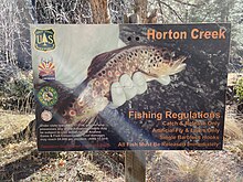
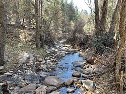
Horton Creek is located in the Mogollon Rim area of the state of Arizona. The closest town Payson is 20 miles (32 km) away. The facilities are maintained by Tonto National Forest division of the USDA Forest Service.


Fish species
- Rainbow trout
- Brown trout

References
- Information and Education Division (2007), Arizona Fishin' Holes, Phoenix, AZ: Arizona Game and Fish Department
External links
- Arizona Fishing Locations Map
- Arizona Boating Locations Facilities Map
- U.S. Geological Survey Geographic Names Information System: Horton Creek (Arizona)
Текст в блоке "Читать" взят с сайта "Википедия" и доступен по лицензии Creative Commons Attribution-ShareAlike; в отдельных случаях могут действовать дополнительные условия.
Другой контент может иметь иную лицензию. Перед использованием материалов сайта WikiSort.org внимательно изучите правила лицензирования конкретных элементов наполнения сайта.
Другой контент может иметь иную лицензию. Перед использованием материалов сайта WikiSort.org внимательно изучите правила лицензирования конкретных элементов наполнения сайта.
2019-2025
WikiSort.org - проект по пересортировке и дополнению контента Википедии
WikiSort.org - проект по пересортировке и дополнению контента Википедии
