geo.wikisort.org - River
The Bosna (, pronounced [bɔ̂sna]) is the third longest river in Bosnia and Herzegovina, and is considered one of the country's three major internal rivers, along with the Neretva and the Vrbas. The other three major rivers of Bosnia and Herzegovina are the Una, to the northwest; the Sava, to the north;, and the Drina, to the east. This river is the namesake of Bosnia. The river Bosna flows for 282 kilometers (175 mi).[1]
| Bosna | |
|---|---|
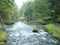
 The Bosna River flowing through Zenica. | |
 Course of the Bosna (interactive map) | |
| Location | |
| Country | Bosnia and Herzegovina |
| Cities | Visoko, Kakanj, Zenica, Maglaj, Zavidovići, Doboj, Modriča, Bosanski Šamac |
| Physical characteristics | |
| Source | Vrelo Bosne |
| • location | Igman, Ilidža, Bosnia and Herzegovina |
| • coordinates | 43°49′6.6″N 18°16′11.9″E |
| Mouth | Sava |
• location | Bosanski Šamac, Bosnia and Herzegovina |
• coordinates | 45°4′0″N 18°28′1″E |
| Length | 281.6 km (175.0 mi)[1] |
| Basin size | 10,810 km2 (4,170 sq mi)[1] |
| Discharge | |
| • average | 174 m3/s (6,100 cu ft/s) |
| Basin features | |
| Progression | Sava→ Danube→ Black Sea |
The river is possibly mentioned for the first time during the 1st century AD by Roman historian Marcus Velleius Paterculus under the name Bathinus flumen.[2][3][4] Another basic source that are associated with the hydronym Bathinus is the Salonitan inscription of the governor of Dalmatia, Publius Cornelius Dolabella, where it is said that the Bathinum river divides the Breuci from the Osseriates.[5] And also by the name of Basante. There was also name Bason on the map "From Istanbul to Vienna" along the Danube and the Black Sea — a river-centric map by the Venetian cartographer Stefano Scolari, ca. 1710s ! According to philologist Anton Mayer the name Bosna could be derived from Illyrian Bass-an-as(-ā) which would be a diversion of the Proto-Indo-European root *bhoĝ-, meaning "the running water".[6]
Course and tributaries
The Bosna River has created the Bosna River Valley. This has been developed as the country's industrial center and is home to close to a million people, who live primarily in several major cities. The river's biggest tributaries are the Željeznica, Miljacka, Fojnička, Lašva, Gostović, Krivaja, Usora, and Spreča rivers.
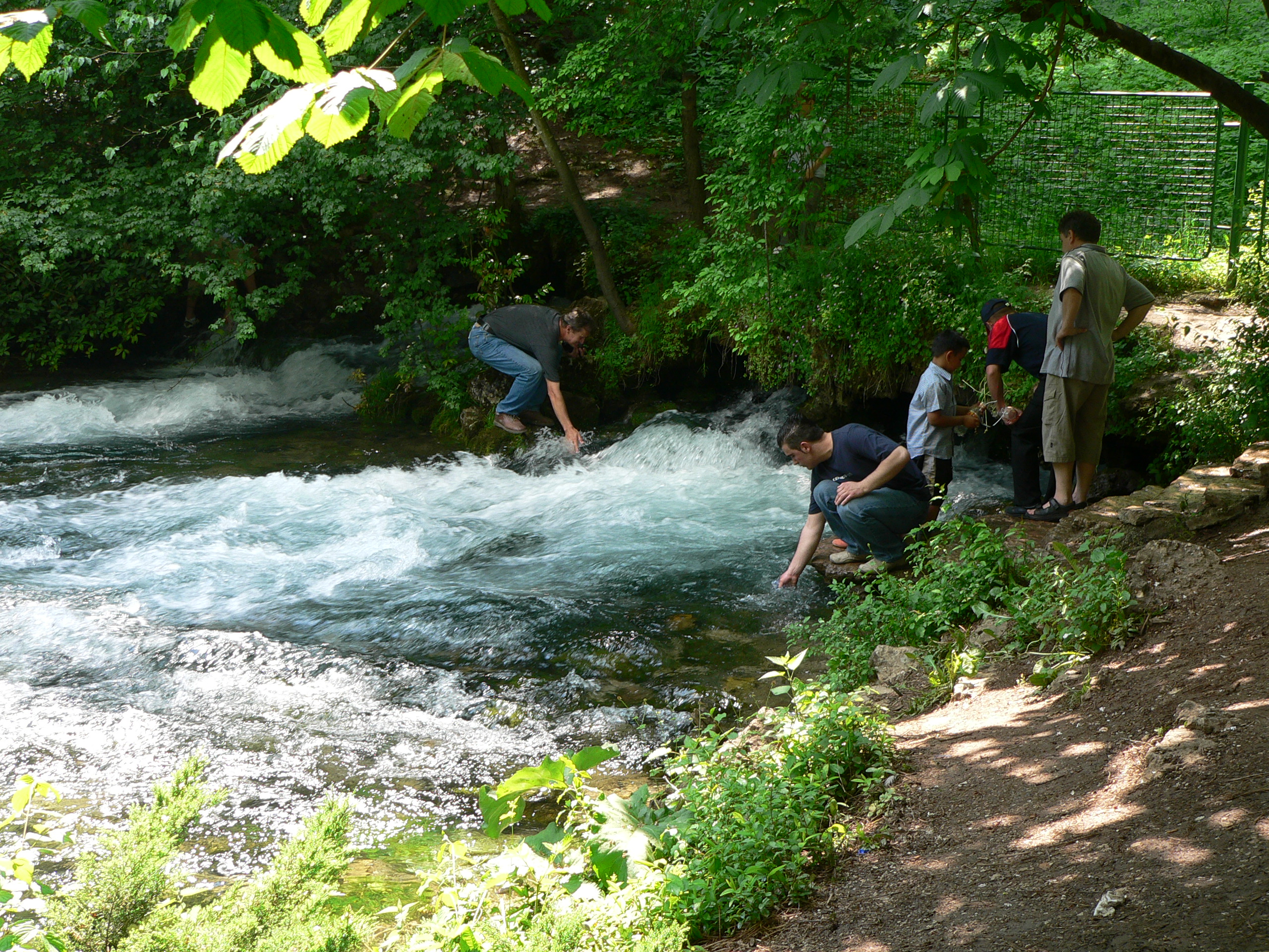
Its source is at the spring Vrelo Bosne, at the foothills of the Mount Igman, on the outskirts of Sarajevo, capital of Bosnia and Herzegovina. The spring is one of Bosnia and Herzegovina's chief natural landmarks and tourist attractions. From there, the Bosna flows northwards, through the heart of Bosnia, eventually becoming a right tributary of the Sava River in Bosanski Šamac.
The Bosna flows through a number of cantons. From its starting point in the Sarajevo Canton, it flows through Zenica-Doboj Canton, Doboj Region, and Posavina Canton, in that order. On its way north the River Bosna also passes through the cities of Visoko, Zenica, Maglaj, Doboj, Modriča and Bosanski Šamac.
 Bosna river flow outside Sarajevo
 Bosna river pond in Ilidža
 Bosna river in Ilidža
 Roman bridge over Bosna river in Ilidža


References
- "Sava River Basin Analysis Report" (PDF). International Sava River Basin Commission. September 2009. p. 13. Archived from the original (PDF, 9.98 MB) on 2017-07-17.
- Šašel Kos, M.; P. Kos. "Places: 197162 (Bathinus (river))". Pleiades. Retrieved January 22, 2017.
- Salmedin Mesihović (2014). Ilirike. Sarajevo: Filozofski fakultet u Sarajevu. p. 80. ISBN 9789958031106.
- Velleius Paterculus, Historia Romana 2.114.4.6 http://latin.packhum.org/loc/1044/1/131/1509-1516
- Salmedin Mesihović (2010). Aevvm Dolabellae – Dolabelino Doba. Vol. XXXIX. Sarajevo: Centar za balkanološka ispitivanja, Akademija nauka i umjetnosti. p. 10.
- Indira Šabić (2014). Onomastička analiza bosanskohercegovačkih srednjovjekovnih administrativnih tekstova i stećaka (PDF). Osijek: Sveučilište Josipa Jurja Strossmayera. p. 165.
Hydrography of Bosnia and Herzegovina | |||||||
|---|---|---|---|---|---|---|---|
| Rivers |
|  | |||||
| Lakes |
| ||||||
| Valleys & canyons |
| ||||||
| Wetlands |
| ||||||
| Waterfalls |
| ||||||
На других языках
[de] Bosna (Fluss)
Die Bosna (serbisch-kyrillisch Босна) ist ein Fluss in Bosnien und Herzegowina und hat der historischen Region Bosnien ihren Namen gegeben. Sie entspringt am Fuße des Berges Igman nahe der Hauptstadt Sarajevo aus einer Karstquelle und mündet bei Šamac in die Save. Die Bosna ist von der Quelle bis zur Einmündung in die Save 271 Kilometer lang. Damit ist sie der drittlängste Fluss des Landes.- [en] Bosna (river)
[it] Bosna
Il fiume Bosna (cirillico: Босна) con i suoi 271 km è il terzo fiume più lungo della Bosnia ed Erzegovina.[ru] Босна (река)
Бо́сна (босн. Bosna) — река в Боснии и Герцеговине. Правый приток Савы, принадлежащей бассейну Дуная[1].Другой контент может иметь иную лицензию. Перед использованием материалов сайта WikiSort.org внимательно изучите правила лицензирования конкретных элементов наполнения сайта.
WikiSort.org - проект по пересортировке и дополнению контента Википедии